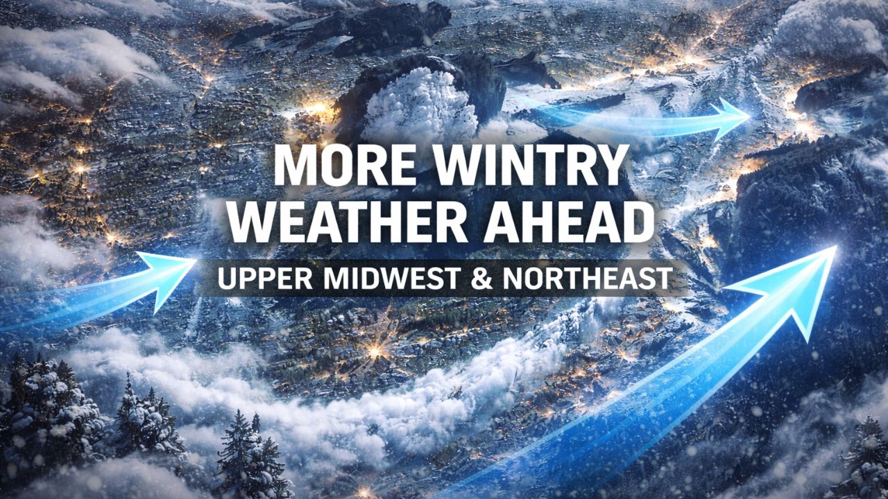
Chicago, Illinois — A relentless parade of clipper storms and Arctic air will continue to bring snow, ice, and travel disruptions across the Upper Midwest and interior Northeast through the first weekend of 2026, with impacts likely lingering into Monday, the first full work and school day of the new year for millions.
Forecasters say the active winter pattern will keep highway crews busy, challenge travelers, and deliver frequent snowfall — a welcome sight for ski resorts, but a headache for commuters.
Clipper storms keep snow chances frequent
Meteorologists warn that many locations from the Great Lakes to interior New England could see fresh snow every 24 hours or less, thanks to fast-moving clipper systems streaming out of Canada.
Persistent cold air will allow snow to accumulate easily, even when individual storms produce only light amounts. Repeated rounds will be enough to keep roads slippery and visibility reduced at times.
Snow spreads east after New Year’s Day system
Following the clipper storm and Arctic front that spread snow from northern Minnesota to the East Coast through New Year’s morning, another system began producing snow across the Upper Midwest on New Year’s Day.
As that storm moves east, snow will gradually taper but still leave a fresh coating on roads across:
- Southern Michigan and Ohio
- West Virginia
- Western and central Pennsylvania
- Upstate New York
- Interior New England
Key detail: Even light accumulations may create hazardous travel due to cold pavement temperatures.
Lake-effect snow enhances impacts
As with many recent systems, Great Lakes moisture will enhance snowfall in favored areas. Lake-effect snow is expected to become more active behind departing clippers, particularly near:
- Lake Superior
- Lake Michigan
- Lake Erie
- Lake Ontario
Localized areas near lake shores could see several inches of snow, even when surrounding regions receive only light accumulations.
Another clipper follows on Saturday
A quick-moving clipper storm will follow closely behind, spreading light snow Saturday from northern and central Michigan into upstate New York, northern Pennsylvania, and much of New England by Saturday night.
Most areas can expect a coating to 1 inch, with up to 2 inches possible in isolated spots. Lake-enhanced snow may again boost totals near the Great Lakes.
Lake-effect bands intensify late weekend
From late Saturday into early Sunday, bands of lake-effect snow are expected to intensify, particularly downwind of the northern and eastern Great Lakes.
These bands can produce rapidly changing road conditions, with bursts of heavy snow reducing visibility in a matter of minutes.
Read Also: First Meteor Shower of 2026 Peaks This Weekend, but Moonlight May Limit the Show
Larger storm arrives Sunday into Monday
The final clipper in this series is expected to be slightly larger, arriving Sunday afternoon and impacting the Upper Midwest first, then spreading into the Northeast from Monday into Monday night.
This system will bring another round of snow and ice, coinciding with the return to work and school for many.
Enough snow is expected from:
- Northern Minnesota
- Michigan
- Upstate New York
- Northern Pennsylvania
- New England
to once again create slippery and hazardous road conditions.
Freezing rain threat adds to concerns
In addition to snow, freezing rain may develop in parts of the region.
Forecasters say a brief period of icing is possible:
- Sunday afternoon into Sunday night from northern Minnesota to southern Wisconsin, and possibly northeastern Illinois
- Monday in parts of eastern Ohio, Pennsylvania, and northern New Jersey
Even light ice accumulation could be enough to cause school delays, cancellations, and difficult travel.
Pattern shift brings milder air next week
Looking ahead, meteorologists say the jet stream dip responsible for repeated Arctic air intrusions will retreat into Canada early next week.
As that happens, Pacific air will move in, bringing temperatures closer to — or slightly above — seasonal averages across much of the region.
However, experts warn winter hazards won’t disappear entirely.
Melting and refreezing remain a risk
Even with milder daytime temperatures, snow-covered areas may experience melting during the day and refreezing at night, creating ongoing hazards.
“Areas with snow cover that become wet during the day may freeze at night, posing hazards for pedestrians and motorists,” said meteorologists.
Daily treatment of sidewalks, parking lots, and roads may still be necessary through much of next week.
Read Also: Bay Area King Tides Return for New Year 2026 as Coastal Flood Advisory Takes Effect
What travelers should expect
With multiple snow events packed into a short timeframe, officials urge residents to:
- Allow extra travel time
- Monitor forecasts closely
- Prepare for rapidly changing conditions
- Use caution during early morning and nighttime hours
While ski country may benefit from the frequent snow, commuters and travelers should plan for continued winter disruptions through the opening days of 2026.
Are you dealing with snow-covered roads or school delays in your area? Share your local conditions in the comments and help others stay informed as this active winter pattern continues.


