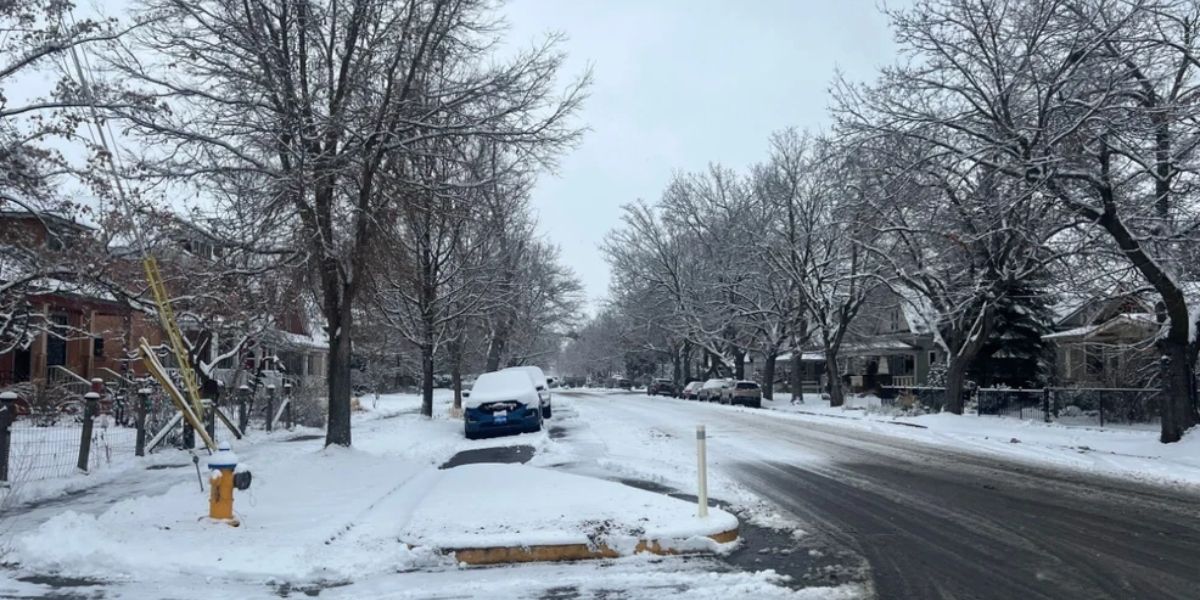
Missoula, MT — Residents of western Montana can expect scattered snow showers to continue throughout the day, though additional accumulation is likely to remain under an inch or two for most valley locations along and south of I-90. Daytime highs will reach the 30s, while overnight lows are expected to dip into the teens, leaving slick spots on roads overnight.
Officials advise drivers to remain cautious during morning and evening commutes, especially on untreated surfaces, as refreezing could create hazardous conditions.
Temporary Break Before Storm Returns
A brief pause in precipitation is expected Wednesday, giving residents a short respite from winter weather. However, meteorologists warn that active weather returns late Thursday, with a powerful Pacific storm system funneling moisture into the Northern Rockies Friday and Saturday.
At this time, forecasters note that the precipitation type remains uncertain. Warmer air aloft may push the snow-to-rain line up to 5,000 feet on Friday afternoon, but timing and exact transitions are still being monitored.
Messy Friday Morning Possible in Valleys
Valley communities should prepare for a messy mix of snow and possible rain Friday morning. While totals are not expected to be extreme, travel could be challenging, particularly on elevated or untreated roadways. Higher elevations above 5,000 feet may see snow measured by the foot by the weekend and into early next week.
Multiple Winter Weather Advisories in Effect
Several Winter Weather Advisories are active across Montana, affecting major highways, mountain passes, and valleys:
- Highway 56, Bull Lake Road; Highway 37 Eureka to Libby; Highway 93 Eureka to Whitefish; Highway 2 Kalispell to Libby — Until noon Tuesday, slick roads expected with less than an inch of snow.
- Bad Rock Canyon, Polebridge, I-90 East Missoula to Bearmouth; Highway 83 Bigfork to Swan Lake; Marias Pass; Highway 83 Seeley Lake to Condon; Highway 200 Bonner to Greenough; Glacier National Park; Essex — Until 5 PM Tuesday, additional snow under an inch.
- Mission Valley, Flathead Valley, Polson, Flathead Lake — Until noon Tuesday, less than an inch of snow.
- I-90 Lookout Pass to Haugan, Highway 200 Trout Creek to Heron, Evaro Hill, Highway 200 Thompson Falls to Plains — Until noon Tuesday, under an inch.
- Bitterroot Valley and Missoula — Until 2 PM Tuesday, roads slick with under an inch of snow.
- Highway 93 Sula to Lost Trail Pass and Lolo Pass — Until 5 PM Tuesday, snow accumulations 4 to 7 inches.
- Highway 12 Garrison to Elliston, Georgetown Lake, Butte, Homestake Pass, MacDonald Pass — Until 5 PM Tuesday, snow 1 to 2 inches in valleys, 3 to 5 inches at higher passes.
- Continental Divide along Rocky Mountain Front — Until 11 PM Tuesday, 1 to 3 inches of snow, with gusts up to 50 mph.
- Central and North Central Montana, US Highway 87 between Belt and Geyser — From 5 AM Tuesday to 5 AM Wednesday, up to 5–6 inches.
- Highwood, Little Belt, Judith, Snowy, Big Belt, Bridger, Castle, Gallatin, Madison, Centennial Mountains — Until 5 AM Wednesday, 3 to 6 inches, with 5 to 9 inches at Kings Hill Pass, winds up to 35 mph.
- Elkhorn and Boulder Mountains — Until 5 AM Wednesday, up to 4 inches.
- Northwest Beaverhead County — Until 11 PM Tuesday, up to 4 inches.
Travelers are advised to check road conditions frequently and allow extra time for winter driving.
Looking Ahead: Weekend and Early Next Week
While the storm system Friday and Saturday could bring significant snow to higher elevations, valley locations should expect minor accumulations. Forecasters note that snow in mountain passes and backcountry areas could exceed foot levels, creating hazardous conditions for weekend travelers and outdoor recreation.
Are you prepared for the extended snow and winter hazards in Montana? Share your plans or tips in the comments — how are you staying safe this winter?


