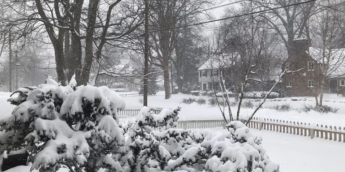
Newark, NJ — A winter storm is forecast to impact New Jersey on Tuesday, potentially dropping 1 to 4 inches of snow across the northern half of the state while bringing heavy rain to southern counties. The storm is expected to begin as snow early Tuesday before transitioning to rain in central New Jersey, creating a messy morning commute for drivers, according to the National Weather Service (NWS).
Snowfall Forecast and Areas of Greatest Impact
The NWS noted that snowfall totals are highly dependent on the storm’s track and timing, adding that confidence in the forecast remains low. The greatest impacts from snow are expected near or north of Interstate 78, with some higher elevations in northwestern New Jersey possibly seeing 4 to 8 inches of snow. Snowfall rates of up to 1 inch per hour are possible in these areas.
Meanwhile, locations south and west of the I-95 corridor are expected to receive less than 1 inch of snow. All precipitation is forecast to end by midnight Tuesday night, giving way to calmer weather conditions later in the evening.
Rain and Pre-Storm Conditions
Before the main winter storm hits, rain is expected to develop across the state on Sunday, beginning in the late morning and continuing through the afternoon. Eastern areas are more likely to experience steadier rainfall into the evening, with amounts ranging from 0.1 to 0.2 inches in western New Jersey to up to 0.5 inches in eastern sections.
Temperatures on Sunday will reach the upper 40s to low 50s, before dropping into the upper 20s to low 30s overnight. High pressure on Monday will bring a brief dry period, with highs in the upper 30s to low 40s, preparing the state for Tuesday’s winter storm.
Extended Forecast and Ongoing Winter Conditions
After the storm passes, Wednesday will remain dry, though temperatures are expected to remain about 10 degrees below normal. A dry cold front will pass through Thursday, bringing a frigid airmass that could impact Thursday night into Friday. High temperatures for the rest of the week are expected to remain in the upper 30s to low 40s, keeping winter conditions in place.
Forecasters have also noted that another storm system may affect New Jersey next weekend, though there is currently too much uncertainty to determine the specifics of potential rain or snow.
Commuter and Safety Considerations
Drivers in northern New Jersey are advised to prepare for potentially slick roads and limited visibility during Tuesday morning’s commute. Motorists should allow extra travel time, monitor traffic updates, and be cautious in areas of heavier snowfall, particularly in northwestern elevated regions.
Residents in southern counties should remain alert for heavy rain and localized flooding, especially in low-lying areas.
Join the Conversation
Are you ready for Tuesday’s winter storm in New Jersey? Share your road conditions, snowfall reports, or tips for staying safe in the comments below to help others in your community navigate the storm.


