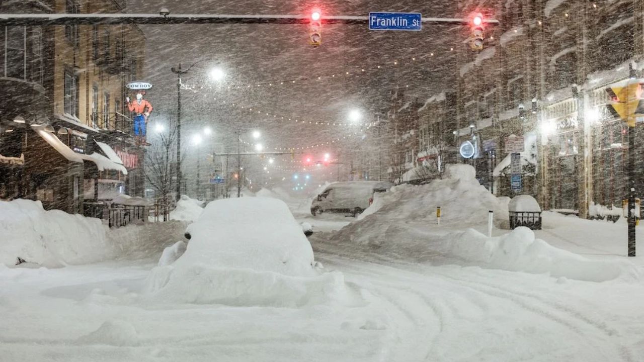
Atlanta, Georgia – Millions across the southern United States are being urged to stay alert this week as a powerful winter system, officially named Winter Storm Fern, is expected to bring snow, ice, and freezing rain to a wide swath of the region beginning Friday and lasting through the weekend. The storm comes just days after parts of the South experienced rare snowfall, raising concerns about hazardous travel, power outages, and icy road conditions.
According to The Weather Channel, the developing storm has the potential to impact cities from Texas to the Carolinas and even portions of the Northeast as it moves eastward.
Winter Storm Fern: What to Expect
Meteorologists say Winter Storm Fern will first develop over the western and central portions of the country before strengthening as it moves into the South. While much of the region will see rain earlier in the week, colder air arriving late Friday could quickly change precipitation to snow, sleet, or freezing rain.
Because temperatures across the South often hover near freezing during winter storms, even small shifts could dramatically change local impacts.
Friday: Storm Begins to Take Shape
By Friday, the earliest winter weather could begin across the southern Plains and nearby regions.
Snow is expected to develop across parts of the central and southern Rockies before spreading east into Texas, Oklahoma, Kansas, southern Missouri, Arkansas, and Louisiana. Areas along the southern edge of the snow zone could see freezing rain or a wintry mix, while much of Texas and the Deep South may initially experience rain.
Cities likely to see winter impacts on Friday include:
Oklahoma City, Little Rock, and potentially Dallas.
Friday Night: Ice and Wintry Mix Expand
As colder air deepens Friday night, the risk of ice and wintry mix increases across central Texas and much of Arkansas. Snow and mixed precipitation are also expected to spread toward the Tennessee Valley and into parts of the Mid-Atlantic.
Rain may continue across portions of the Carolinas, but colder air could quickly change conditions overnight.
Cities likely to see winter impacts Friday night include:
Albuquerque, Oklahoma City, Dallas, Little Rock, Memphis, Nashville, Virginia Beach, and Raleigh.
Saturday: Widespread Southern Impacts
Saturday could bring the most widespread impacts of the storm. Ice and freezing rain may extend deeper into Texas and northern Louisiana, while wintry mix spreads across the Carolinas. Snow and ice could create dangerous travel conditions across major interstates and metro areas.
Cities likely to see winter impacts on Saturday include:
Oklahoma City, Dallas, Little Rock, Memphis, Nashville, Virginia Beach, and Washington, D.C.
Saturday Night: Storm Pushes North and East
Saturday night, the storm system continues shifting eastward. Ice may reach the Gulf Coast of Texas and Louisiana, while winter weather begins to taper off in central Texas. At the same time, snow could spread into the southern portions of the Northeast, potentially affecting major population centers.
Cities likely to see winter impacts Saturday night include:
Houston, Little Rock, Jackson, Memphis, Nashville, Atlanta, Charlotte, Virginia Beach, Washington, D.C., New York City, and Philadelphia.
Sunday: Final Impacts Before Storm Exits
By Sunday, ice conditions along the Gulf Coast are expected to improve as the storm weakens. However, areas such as Atlanta and parts of the Carolinas could see precipitation transition from a mix to mainly snow before ending later in the day.
Most precipitation is expected to wrap up by Sunday evening as the system moves offshore.
Cities likely to see winter impacts on Sunday include:
Atlanta, Charlotte, Virginia Beach, Washington, D.C., New York City, and Philadelphia.
Forecast Uncertainty Remains
Forecasters caution that the exact track and temperature profile of Winter Storm Fern could still change, which would significantly affect snowfall and ice totals. Even slight shifts could mean heavier snow for some cities or more dangerous ice for others.
Residents across the South and East are advised to monitor forecasts closely, prepare for possible travel disruptions, and be ready for rapidly changing weather conditions as Winter Storm Fern approaches.