Columbus, OH — Road conditions across central Ohio improved significantly Tuesday afternoon as ample sunshine and temperatures hovering near 32°F allowed icy patches to melt. However, forecasters warn drivers not to get too comfortable. As temperatures fall back below freezing Tuesday evening, any melted snow or slush is expected to refreeze, creating slick spots through the night and into Wednesday morning.
Meteorologists emphasize that untreated roads, sidewalks, and parking lots will be the most vulnerable to refreezing, and black ice could once again become a concern during the early commute.
Cold Start to Wednesday With Increasing Cloud Cover
Wednesday will begin on a frigid note, with morning lows in the mid-20s. Cloud cover will steadily increase across the region, limiting any early sunshine. By the afternoon, temperatures will climb only into the mid to upper 30s, remaining chilly under overcast skies.
The National Weather Service notes that while conditions will not be as bitter as earlier in the week, the persistent cloud cover will keep the day feeling colder than the thermometer suggests.
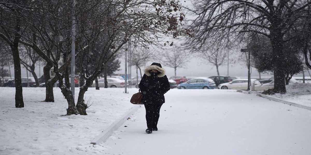
Light Snow Showers Possible North of I-70
Forecasters say a weak disturbance could generate light, patchy snow showers Wednesday afternoon and evening, particularly for communities north of I-70. These snow showers are expected to remain spotty and should not create significant accumulation.
Most locations may see nothing more than a dusting, but even a small amount of snow could create slippery spots on untreated roads, especially once temperatures fall again later in the night.
Bitter Cold Thursday Morning With Subzero Wind Chills
Thursday morning will deliver some of the coldest temperatures of the week, with actual air temperatures dropping into the single digits and low teens across central Ohio. For areas north of I-70, wind chills could fall to below 0°, making for a dangerously cold start to the day.
Residents heading out early Thursday are encouraged to bundle up, limit time outdoors, and make sure pets are protected from the extreme cold.
Sunny but Cold Thursday Afternoon
Despite the brutally cold start, Thursday afternoon will offer some improvement. Temperatures will rebound into the mid-20s under a mostly sunny sky, making it feel slightly more comfortable than the morning hours. Even so, conditions will remain below seasonal averages.
Forecasters say Thursday will be the brightest day of the week as a high-pressure system temporarily settles over the region.
Cloud Cover Returns for the Weekend
The brief sunshine won’t last long. Cloud cover is expected to increase again heading into the weekend, with temperatures making a slow climb back into the mid to upper 30s. While no major storms are currently forecast, meteorologists say the pattern could shift, and additional light snow chances may develop by early next week.
Drivers and pedestrians should remain prepared for fluctuating temperatures, periodic slick spots, and reduced visibility during passing snow showers.
Are you ready for more winter weather, or are you already counting down to spring? Share your thoughts in the comments — we’d love to hear from you!


