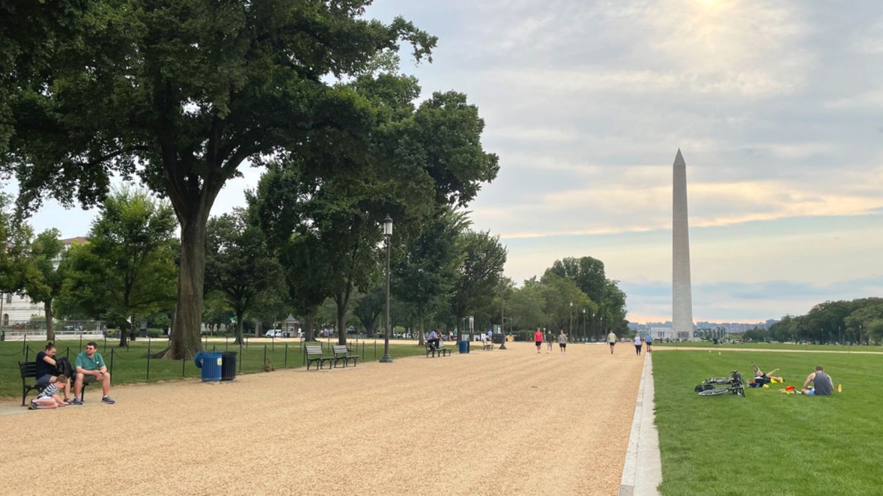
Washington, D.C. – The D.C., Maryland, and Northern Virginia region is set for a return of summer heat this weekend, with temperatures climbing to the low 90s on Friday and Saturday. However, residents and visitors should be prepared for stormy weather Saturday afternoon and evening, followed by a significant cool down and dry conditions expected Sunday and throughout the next week.
As the region experiences a brief resurgence of warm and humid weather, Storm Team4’s latest forecast highlights key weather developments to watch over the coming days.
Summer Heat Makes a Comeback Before Storms Move In
Friday and Saturday will bring seasonably hot and humid conditions, with highs hovering near 90 degrees. This surge in temperature marks a return to summer-like weather after some relatively mild and dry days.
- Highs on Friday and Saturday will be around 90°.
- Humidity levels will increase, creating more uncomfortable heat.
- Friday will offer a perfect day to enjoy sunshine before potential storms arrive.
Late Saturday Storms Could Impact Evening Plans
By late Saturday afternoon and evening, rain and thunderstorms are expected to move into the region, with potential for strong or severe storms in some areas.
- Storm development may begin as early as 2 p.m. near Dulles International Airport, with rain reaching the D.C. metro area between 4-6 p.m.
- Highs on Saturday may be slightly cooler in areas north and west of Dulles, staying in the mid 80s, while the metro area remains near 90° to 92° before storms.
- Rain totals are expected to average around half an inch, with localized amounts potentially reaching 1 inch or more, especially along and east of the I-95 corridor.
- The I-81 corridor will see somewhat lighter rainfall, with roughly a half-inch expected.
“Stormy conditions will have an impact on your Saturday evening and night plans,” warned Storm Team4 as per reports.
Cooler, Drier Weather Poised to Return Starting Sunday
The rain will end by early Sunday morning, but skies won’t clear instantly. Cloud cover is expected to linger until midday before giving way to sunshine — a welcome relief for outdoor events such as the Commanders’ sold-out home opener, which will enjoy ideal weather.
- Sunday temperatures will be much cooler, ranging from 72° to 78°.
- Sunshine will appear between 10 a.m. and 2 p.m.
- Dry and possibly breezy conditions will prevail.
- An expansive high-pressure system will maintain cooler, dry weather through the next week.
- Rain chances will remain near zero for the next 7 to 10 days.
Experts caution that drought conditions could worsen before improving, as recent rains were limited in scope. For example, while Reagan National Airport recorded 0.34 inches of rainfall on Thursday, other locations like Dulles and BWI-Marshall received only trace amounts.
10-Day Forecast Highlights
- Friday: Mostly sunny, hot and humid, breezy afternoon, highs 85°–90°, 0% chance of rain.
- Friday Night: Clear and mild with patchy fog, lows 66°–72°.
- Saturday: Hot and humid with rain and thunderstorms likely after 2 p.m., strong/severe storms possible, highs 84°–92°, 80% chance of rain.
- Sunday: Few sprinkles early, then sunshine and much cooler, highs 72°–78°, 20% chance of rain.
- Monday: Mostly sunny and cool, very low humidity, highs 70°–76°, 0% chance of rain.
What do you think about this forecast? Are you ready for the weekend heat and storms? Share your thoughts below and stay safe during the stormy weather!


