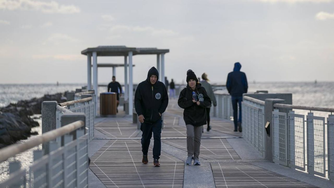
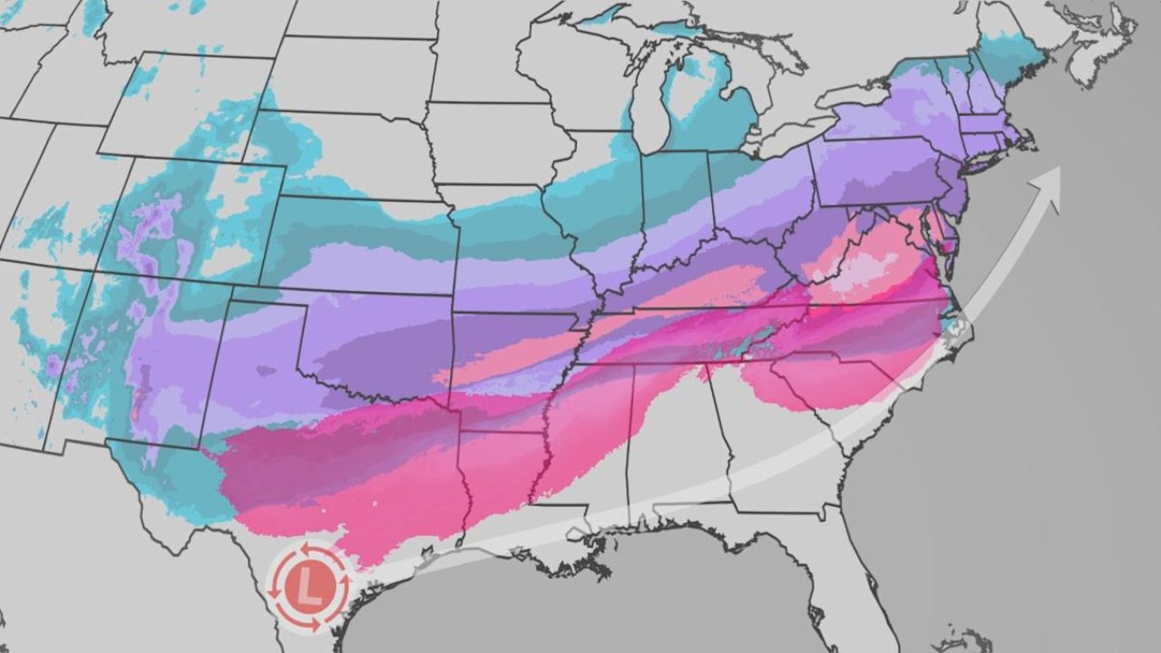
Orlando, FL — Central Florida is holding onto a quiet, warm spell heading into the end of the week, with only minor hints of fog and moisture breaking up an otherwise steady run of sunshine and above-average temperatures. A weak area of high pressure remains locked in place through Thursday, Friday, and Saturday, keeping things dry and unseasonably warm across both the coast and inland areas.
Forecasters say mornings may begin with patches of fog, thanks to light winds, overnight humidity, and clear skies. But as soon as the sun rises, the fog should burn off quickly, giving way to a stretch of calm, dry afternoons.
Temperatures will continue climbing above typical late-November norms, with highs in the low 80s along the beaches and low to mid-80s inland. For comparison, the average high in Orlando this time of year sits around 78°F, putting the region a few degrees warmer than normal heading into the holiday week.
Weak Front Slides Through Sunday — But Don’t Expect Major Changes
From Sunday through Wednesday, a subtle pattern shift starts to take shape. Weather models agree that a weak cold front will dip into Central Florida on Sunday, nudging winds back out of the north. But despite the front’s arrival, forecasters say any noticeable cool-down will be minimal.
High pressure quickly shifts eastward into the Atlantic Monday and Tuesday, causing winds to swing around to the southeast by Tuesday and then even more southerly by Wednesday — a setup that brings warm, slightly muggy weather right back into the mix.
Temperatures remain above normal, continuing the trend of highs in the low to mid-80s, even as the Thanksgiving holiday approaches.
A few isolated Atlantic showers may sneak in late Tuesday or Wednesday, but forecasters expect most areas across Central Florida to remain dry.
Thanksgiving Day Outlook: Mild to Warm With Spotty Showers
Looking ahead to Thanksgiving, another cold front is expected to approach the region. However, forecasters say there’s still significant uncertainty about when the system arrives and how quickly it pushes through.
As of November 20, early signals point toward a mild to warm holiday, with temperatures running well above typical Thanksgiving levels. Only small chances of scattered showers are currently in the forecast. The day may feature plenty of clouds, but widespread rain isn’t looking likely at this stage.
Post-Thanksgiving Could Bring Bigger Changes
After the holiday, things may finally start to shake up. Forecast models are hinting at the possibility of a stronger cold front arriving sometime after Thanksgiving weekend, which could deliver a noticeable cooldown and more substantial weather changes.
Still, both the timing and the severity of any post-holiday front remain uncertain. Meteorologists caution that updates will likely refine the forecast as the weekend approaches and models tighten up.
For now, Central Florida residents can enjoy an extended stretch of warm, sunny days — with the potential for a more classic dip into cooler autumn weather just beyond the holiday.
Warm Thanksgiving vibes or are you craving a real fall cooldown? Drop your thoughts in the comments — do you want the cold front to finally show up, or are you loving the 80s-in-November weather?


