Green Bay, WI – Friday brought a pleasant start to the weekend with mostly sunny skies and temperatures in the mid 80s. However, that will quickly change as Saturday brings the likelihood of early morning thunderstorms. These storms are expected to persist throughout the day, with multiple rounds of showers and storms.
Saturday Forecast: Thunderstorms and Severe Weather Concerns
The latest weather models suggest that there may be a westward shift in the storm track, which could delay the storms later than initially expected. Despite this, damaging winds and excessive rainfall remain significant concerns that meteorologists will continue to monitor closely.
As the storms roll through Green Bay, residents should be prepared for possible flooding and downed trees due to the high winds and heavy rain.
Sunday Outlook: Showers and Thunderstorms in the Late Afternoon
WAGB reported that the Sunday is expected to clear up during the day. The threat of showers and thunderstorms will return in the late afternoon and continue into the evening. Conditions will remain unsettled as the weekend concludes.
Looking Ahead to the Work Week
Monday will kick off the work week with scattered storms, which will roll into Tuesday. While morning showers are possible, the rest of the day is expected to be mostly dry by the afternoon.
As the week progresses, temperatures will drop into the mid 70s with sunny skies becoming more likely. However, Thursday and Friday will see temperatures climb back into the low 80s as conditions warm up again.
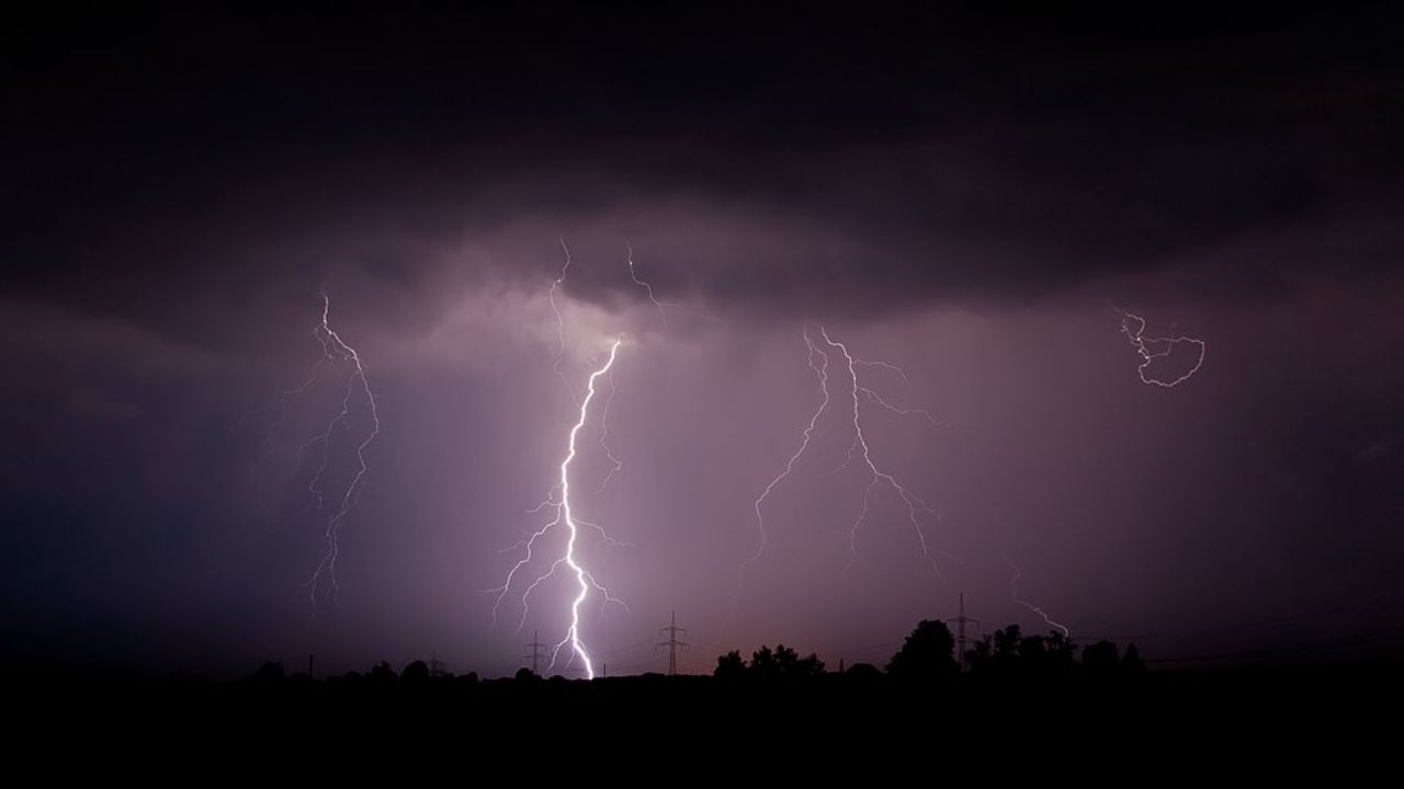
The Dangers of Thunderstorms and Storm Safety
Thunderstorms, particularly those with damaging winds and excessive rainfall, can be dangerous. Flooding can occur quickly, especially in low-lying areas, and the strong winds may cause power outages or property damage. Residents are urged to stay informed through weather alerts, avoid driving through flooded areas, and seek shelter indoors during severe weather.
How are you preparing for the storms this weekend in Green Bay? Share your tips and experiences below.


