Denver, CO — Hundreds of thousands of Coloradans preparing to hit the road, railways, and skies for Thanksgiving can expect dry, calm weather on their way out — but the return trip may be a very different story.
According to the National Weather Service (NWS), clear skies and no snowfall are expected across the Denver metro area leading up to the holiday, though parts of the high country could see light snow early in the week.
Minimal Snow Expected Before Thanksgiving
Forecasters report that no snow is expected for the Denver region before Thanksgiving. Only limited snowfall is anticipated in higher elevations, including popular mountain passes, and most of that is expected to melt before the majority of travelers begin their holiday journeys.
Even Colorado’s tallest peaks, such as Mount Zirkel in the Park Range, will see anywhere from 0 to 8 inches of snow through 5 a.m. Thursday — though the most likely accumulation is closer to 1 inch.
As of Monday morning, the NWS projected small totals across key high-elevation travel routes by Thursday, including:
- Trace amounts on Loveland Pass and Bear Lake in Rocky Mountain National Park
- 0.5 inches on Berthoud Pass, Milner Pass, and at Winter Park
- 1 inch on Muddy Pass, Cameron Pass, and Rabbit Ears Pass
Most of this snow is expected to fall Monday night into Tuesday morning, giving it plenty of time to melt before travelers depart for their Thanksgiving plans.
Small Chance of Midweek Snow in the Mountains
Higher elevations — including Cameron Pass and Rabbit Ears Pass — have a 20% chance of snow showers before 11 a.m. Wednesday, but forecasters say the risk is low and impacts should be minimal for outbound traffic.
Post-Thanksgiving Snow Could Disrupt Travel Across Colorado
While outbound travel looks smooth, the trip home could be much more complicated. Snow chances increase statewide after Thanksgiving Day, with a possible winter storm targeting the Front Range and mountain passes over the weekend.
Early projections indicate:
- A 40% chance that Denver could see its first snow of the season over the post-Thanksgiving weekend
- The highest likelihood for Denver snowfall occurring between 5 p.m. Saturday and 11 a.m. Sunday
- Snow showers potentially beginning as early as 11 p.m. Friday and lasting into Sunday night
Meanwhile, multiple mountain passes are expected to receive several inches of snow beginning around noon on Friday. The odds for heavy snow jump from 30–40% to 60–80% starting 11 a.m. Saturday and continuing through Sunday, creating hazardous return travel conditions.
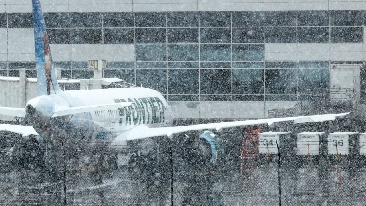
Denver International Airport Braces for Record Crowds
The Sunday after Thanksgiving — November 30 — is projected to be the busiest travel day at Denver International Airport (DIA), with more than 96,000 passengers expected to pass through TSA security.
With millions likely to drive and a record number of people planning to travel by train, the timing of this winter weather system could have major implications, according to AAA and Amtrak officials.
Transportation Impacts Still Uncertain
While it’s too early to know exactly how the weekend snow will affect air travel and train schedules, forecasters warn that both modes of transportation are susceptible to delays and cancellations during extreme winter weather.
Travelers returning to Colorado after Thanksgiving should be prepared for:
- Slippery roads on major highways
- Delays at DIA
- Potential slowdowns for Amtrak and local rail services
- Heavy mountain traffic combined with worsening snow
Are you traveling through Colorado for Thanksgiving? Are you worried about the weekend snow? Drop your thoughts in the comments below!


