Kansas City, Missouri — The Kansas City area is about to break its three-week dry streak, marking what has been one of the driest starts to November on record. But that pattern ends soon, with forecasters placing the region under a First Warning for Rain on Thursday and Friday as a more active weather setup moves in.
A weaker system kicks things off Wednesday night, bringing patchy, light showers across the metro. This initial round won’t amount to much and will fade before most people start their Thursday morning commute.
Thursday Brings Clouds Before the Main Event
Temperatures on Thursday will start in the upper 40s, eventually climbing into the low to mid-60s. Much of the day stays cloudy and dry, but conditions will shift quickly after 6 p.m., when a more powerful storm system arrives.
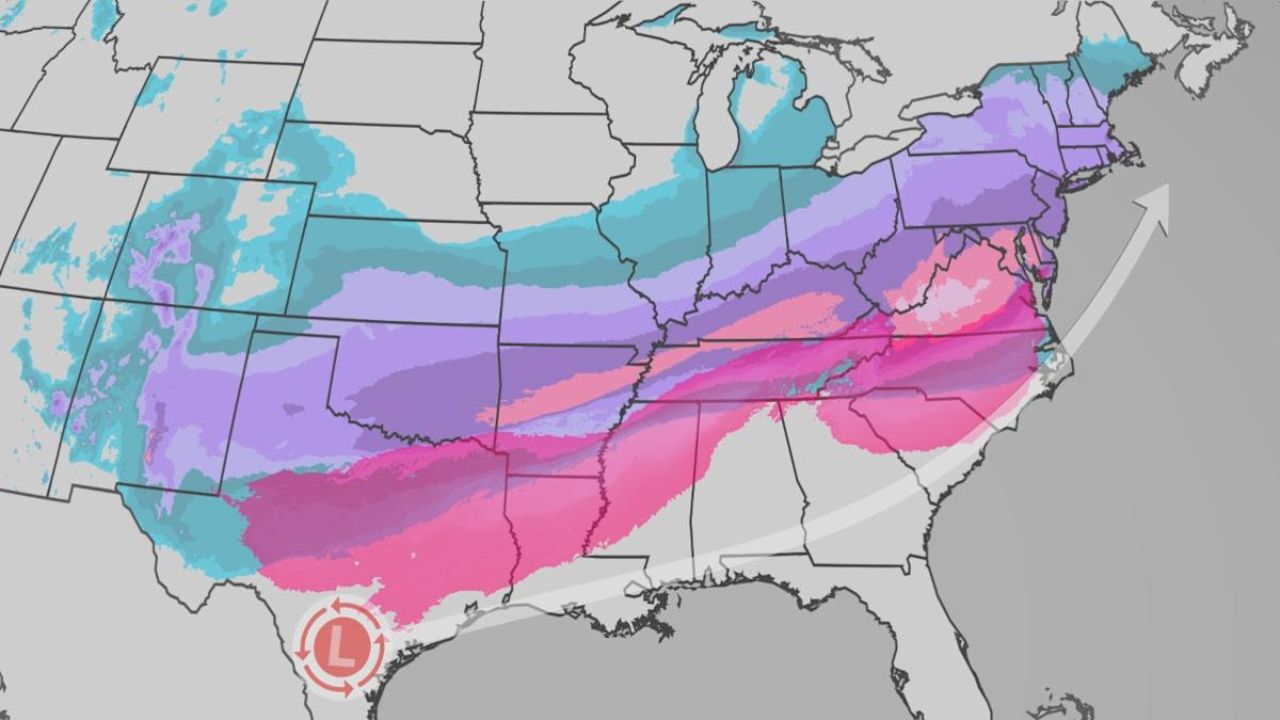
This is the main rainmaker, expected to bring widespread, persistent, soaking rain Thursday night through Friday morning. Forecasters say the region should prepare for a solid stretch of wet weather, with rain continuing—though more scattered—into Friday afternoon. Most of the system should clear out by Friday evening or Friday night.
A Dent in the Rainfall Deficit
Since the start of fall, Kansas City has accumulated a rainfall deficit of nearly 5 inches. While this upcoming system won’t erase that gap, meteorologists say it will at least chip away at the shortage.
By the time the rain ends Friday evening, most areas in the metro are expected to see 0.5″ to 1″ of total rainfall. Areas south of Kansas City could pick up up to 2 inches, while parts of northern Missouri and northern Kansas are likely to receive lower amounts.
A Beautiful Weekend Ahead
After the soggy end to the workweek, the weather turns stunning just in time for the weekend. Saturday will see clouds thinning out with highs in the upper 50s, while Sunday delivers sunshine and comfortable temperatures in the low 60s—a perfect fall finish before another weather shift arrives.
More Rain Early Next Week
Another FIRST WARN has been issued for Monday, as yet another system approaches. The best chance for significant rainfall looks to be Monday evening, with leftover showers possibly stretching into Tuesday morning.
This pattern of on-and-off rain signals a more active atmosphere for the region—something Kansas City hasn’t seen in weeks.
Eyes on Thanksgiving: A Wintry Pattern Brewing
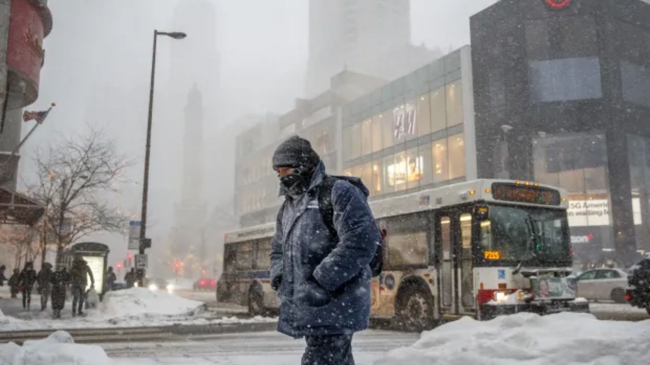
Attention is already turning to Thanksgiving week, and early projections show a notable cold snap settling in. Highs on Thanksgiving Day may only reach the upper 30s, a sharp drop from recent mild weather.
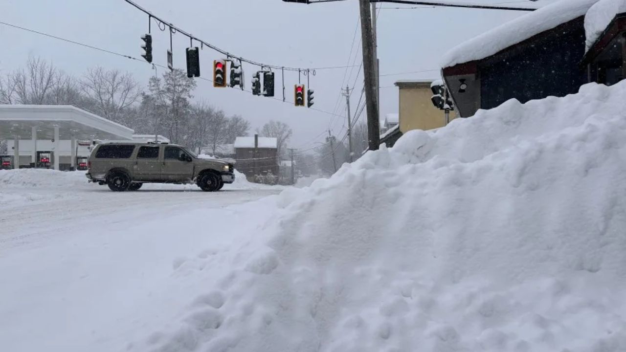
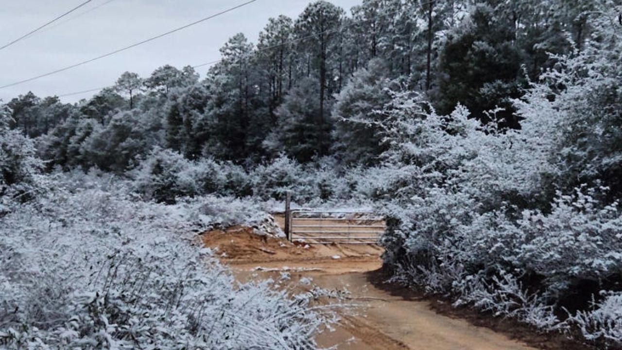
There is also a low—but non-zero—chance of snow sometime between Wednesday night and Thanksgiving morning. Meteorologists caution that this potential snowfall would require a “perfectly timed” mix of cold air, moisture, and an upper-level disturbance.
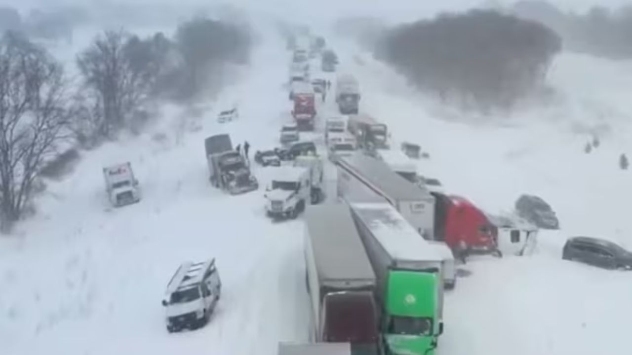
For now, the odds lean strongly toward no major travel issues, but forecasters emphasize that they’ll continue to track how the developing pattern evolves.
Are you excited for the rain after weeks of dry weather? Worried about Thanksgiving travel? Share your thoughts, experiences, or weather questions in the comments — your voice helps keep our community informed!

