Houston, TX – The National Weather Service has issued a flood watch for all of Southeast Texas starting Friday night and continuing through Sunday morning, as a series of severe storms are expected to sweep across the region. Rainfall totals of 2-4 inches are forecast, with isolated areas receiving up to 6 inches, raising concerns about street flooding in some neighborhoods.
Severe Thunderstorm Watches
A severe thunderstorm watch is in effect for Madison and Brazos counties until 3 a.m. Saturday, with storms producing winds between 60-68 mph approaching Southeast Texas. Residents are urged to stay alert and keep phone alerts turned on in case of tornado warnings or flash flood advisories.
Saturday Storm Timing
Meteorologists expect the storms to arrive in two main waves:
First Wave – Early Saturday Morning:
- Brazos Valley: Around 3 a.m.
- Houston: Around 6 a.m.
- Exit Coast: By 8 a.m., mostly dry in Houston by 10 a.m.
This early line may produce strong to severe storms, with heavy rainfall and potential street flooding, making it unsafe for sunrise activities.
Second Wave – Evening Storms:
- Moves in with the cold front after sunset
- Brazos Valley: 7-8 p.m.
- Houston: 9-11 p.m.
- Exit Coast: Around 1 a.m. Sunday
These storms are expected to move quickly, ending the severe and flood threat for the weekend.
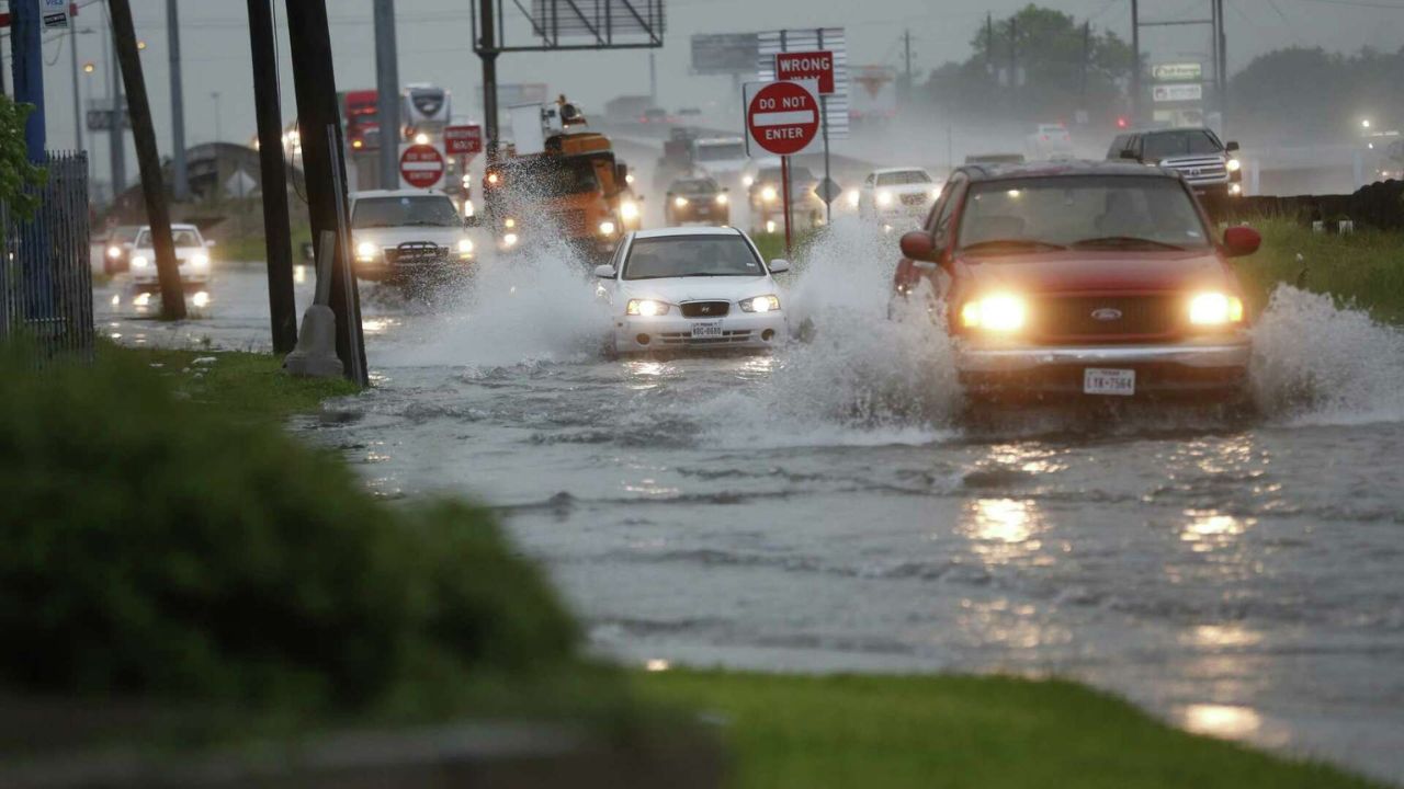
Flash Flood Risk
Due to dry conditions over the past month, areas that receive heavy rainfall rapidly are at higher risk for flash flooding. Authorities have set a 2 out of 4 threat level for flash flooding on Saturday.
Fire Risk and Burn Bans
Despite the rain chances, burn bans remain in effect across most counties, as a single storm system is not enough to lift restrictions. Residents should continue to avoid spark-causing activities, including unattended fires, towing with chains dragging, and discarding lit cigarettes outdoors.
Extended Forecast
The strongest cold front of the season is expected to move through next Tuesday, bringing daytime highs in the 70s and overnight lows in the 50s, just in time for Halloween.
Are you preparing for the weekend storms in Houston?
Share your plans and tips in the comments below — how are you staying safe during heavy rain and potential flash flooding?


