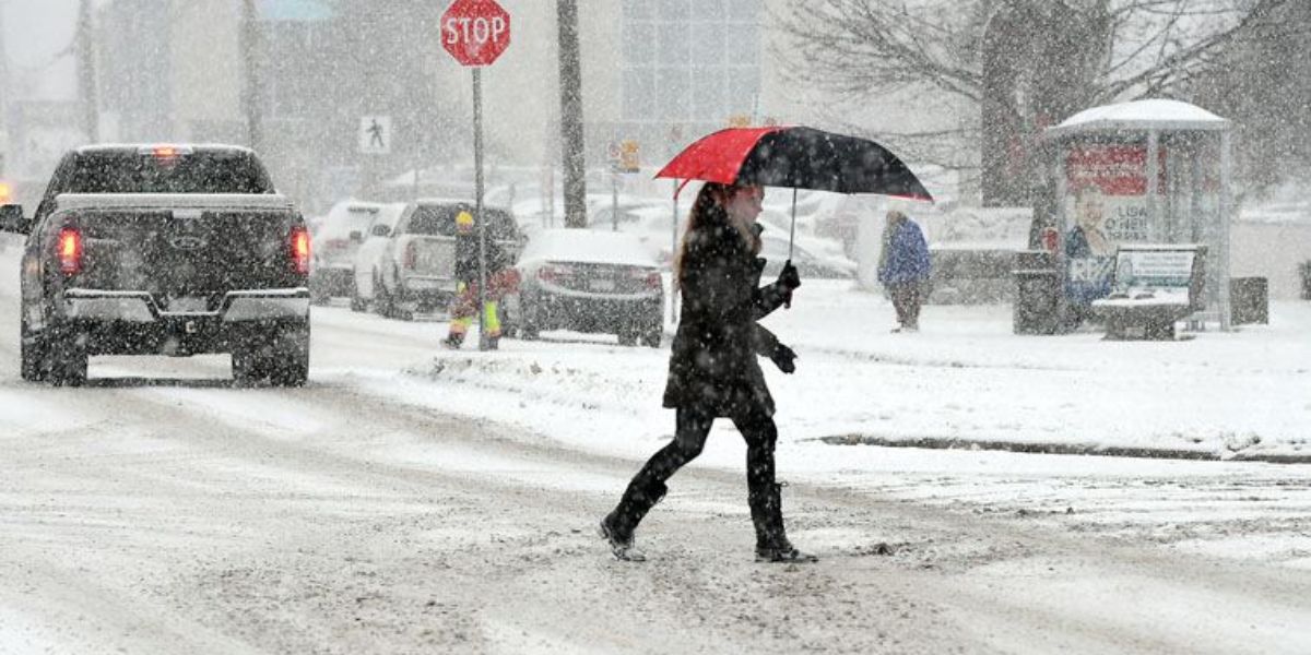
Los Angeles, CA – Southern California residents are preparing for another round of wet and potentially hazardous weather as a new storm system moves into the region this weekend, bringing widespread rain, gusty winds, and the risk of flooding in vulnerable areas.
Meteorologists warn that the incoming system could significantly impact travel, outdoor plans, and communities already dealing with the aftermath of recent storms and wildfires.
New Storm System Targets Southern California
A fresh storm is expected to arrive over Southern California by late Friday, setting the stage for unsettled conditions through Sunday night. According to KTLA meteorologist Kirk Hawkins, scattered showers may develop early, but more persistent and widespread rain is expected later in the evening as the storm fully moves into the area.
Forecasters say this is part of a continuing series of storm systems affecting the region, reinforcing a pattern of frequent rainfall and cooler temperatures. While brief dry breaks are possible, residents should not expect extended periods of clear weather over the weekend.
When the Heaviest Rain Is Expected
The National Weather Service (NWS) has outlined critical timing details for the storm, highlighting periods when rain and wind impacts are expected to peak. The most intense rainfall is forecast to arrive Saturday between 3 a.m. and 6 p.m., with another active window on Sunday from 10 a.m. to 10 p.m., though timing could shift by several hours.
Rainfall rates during these peak periods may reach 0.25 to 0.50 inches per hour, with isolated locations seeing bursts as high as 0.75 inches per hour. Such heavy downpours in short timeframes increase the risk of localized flooding, especially in urban and low-lying areas.
Rainfall Totals and High-Wind Threats
Rain accumulation over the weekend is expected to be significant. Coastal and valley areas across Los Angeles County, Orange County, and surrounding regions could receive 1 to 3 inches of rain through Sunday. Meanwhile, foothill and mountain communities may experience much higher totals, ranging from 3 to 6 inches, according to the NWS.
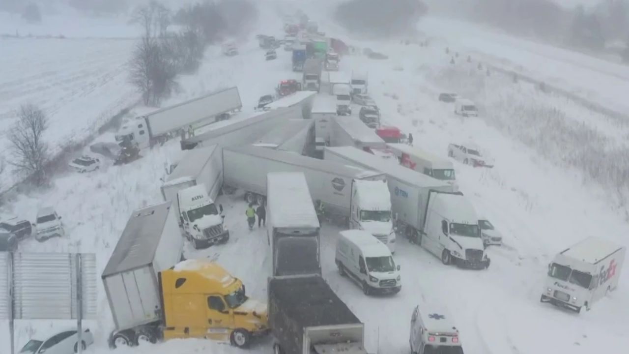
In addition to rain, the storm will bring strong winds. Peak wind gusts are forecast to range between 20 and 40 mph, with isolated locations potentially experiencing gusts as high as 60 mph. These conditions could lead to downed tree branches, power outages, and hazardous driving conditions, particularly in exposed and elevated areas.
Flooding Concerns Near Burn Scars
Meteorologists are paying close attention to areas affected by recent wildfires. Burn scars are especially vulnerable to rapid runoff, debris flows, and flash flooding when heavy rain falls in a short period.
The National Weather Service has indicated that a flash flood watch may be issued once rainfall timing and intensity become more certain. Residents living near recent burn areas are urged to remain alert, have evacuation plans ready, and monitor official weather alerts closely.
Snow Levels and Mountain Impacts
Snow levels during this storm are expected to remain relatively high, generally above 6,500 feet, with a possible rain-snow mix occurring around 6,000 feet. However, the highest mountain peaks could receive substantial snowfall. The NWS reports that up to one foot of snow is possible at the highest elevations, which could impact mountain travel and recreation.
Drivers heading into mountainous regions should be prepared for winter driving conditions, including chain requirements and reduced visibility.
Officials recommend staying updated through local forecasts, avoiding flooded roadways, and securing loose outdoor items ahead of strong winds. With multiple storm systems affecting the region in a short period, preparation and awareness remain key.
What are your thoughts on this latest storm system? Have you experienced flooding or weather impacts in your area recently? Share your experiences, safety tips, or concerns in the comments below and join the conversation.