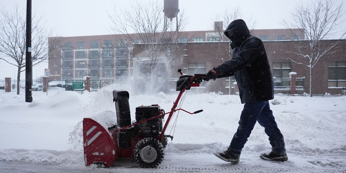
Des Moines, Iowa — Iowa residents can expect snowflakes to continue falling into the evening hours as a narrow snow band moves across the state. Accumulation forecasts call for 2–4 inches along a line stretching from Spencer and Storm Lake through Fort Dodge, Ames, Marshalltown, and parts of the Des Moines metro.
In the metro area, amounts are expected to vary:
- Ankeny and Altoona: 3–4 inches
- Adel and Indianola: Around 1 inch
Forecasters caution that if the snow band shifts slightly south, totals could increase by an inch or two.
Temperatures Drop and Flurries Expected
Tonight, temperatures will fall into the upper teens to low twenties, with Friday highs reaching only the mid-20s. Northern portions of Iowa may see a few flurries or light snow showers Friday, though accumulations are expected to remain minimal.
Weekend Storm Brings Snow Followed by Arctic Cold
Attention is turning to a weekend weather system, which is expected to bring the next significant snow to Iowa. Snow is forecast to begin in western portions of the state very early Saturday morning (3–4 a.m.), reaching the Des Moines metro around 5–6 a.m.
- Southwest Iowa: 4+ inches possible
- Metro area: 1–3 inches expected
- Snow is predicted to wrap up by early afternoon, followed by very cold temperatures.
Arctic Cold Returns
Following the snow, high temperatures this weekend will struggle to reach the teens, with Sunday morning lows dropping into the single digits below zero.
The frigid conditions are attributed to a Canadian high-pressure system, though a return of southwest flow early next week will bring temperatures back to around freezing by Monday. Gradual warming is expected, with Tuesday highs near 40°F and mid-40s by Wednesday.
Forecasters note that with plenty of sunshine next week, any snow remaining on the ground is likely to melt quickly, putting a white Christmas for many in jeopardy.
Iowa Weather Snapshot
- Tonight: Cloudy, snow showers mainly in the evening. Low near 20°F, winds NE 5–10 mph
- Friday: Cloudy, a few flurries. High near 27°F, winds NW 10–20 mph
- Friday Night: Cloudy, snow showers developing after midnight. Low 6°F, winds NNW 10–15 mph
Residents are advised to plan travel accordingly, dress warmly, and monitor NWS updates as the weekend storm approaches.
Join the Conversation
How are you preparing for Iowa’s weekend snow and frigid cold? Do you expect the snowfall to impact holiday plans in your area?
Share your thoughts in the comments — your updates could help fellow Iowans stay safe.


