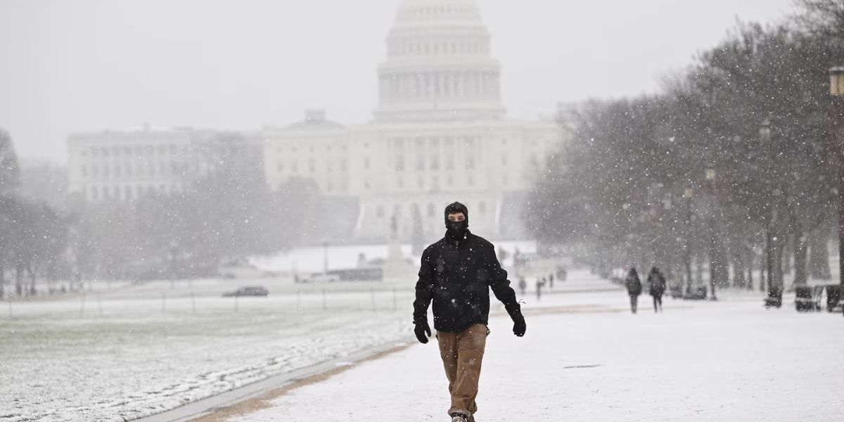
Washington, D.C. – The D.C. metropolitan area is bracing for its first significant snow of the season, accompanied by strong winds and dangerously cold temperatures this weekend. Meteorologists warn that while snowfall amounts may be modest, the combination of snow, ice, and Arctic air could create hazardous travel conditions.
Winter Weather Advisory Issued
The National Weather Service (NWS) has issued a Winter Weather Advisory for Washington, D.C., central and northern Maryland, and northern Virginia. The advisory is in effect from 8 p.m. Saturday, December 14, 2025, through 4 p.m. Sunday, December 15, 2025.
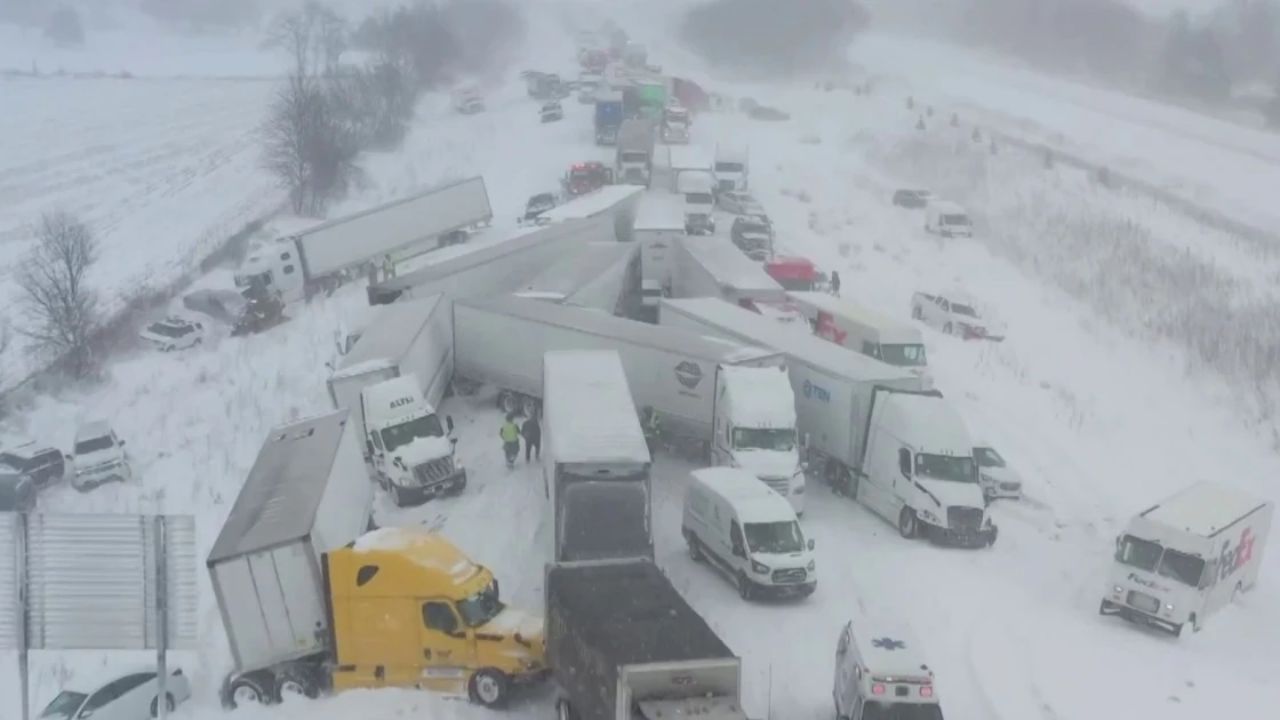
Officials urge residents to prepare for slippery roads, reduced visibility, and frigid temperatures. The advisory comes as a quick-moving winter storm moves into the region, bringing the first accumulating snow of the season.
Snowfall Forecasts
Meteorologists predict snowfall totals of:
- 1 to 3 inches for most of the D.C. metro area
- 1 to 3 inches in Montgomery and Prince George’s counties
- 1 to 3 inches in Howard and Anne Arundel counties
- 2 to 4 inches in Baltimore County and northeastern Maryland, with isolated spots reaching 5 inches
- 1 to 3 inches in Northern Virginia (including Fairfax, Arlington, and Alexandria)
A narrow band of heavier snow could develop late Saturday night, temporarily reducing visibility to less than half a mile and allowing snow to accumulate faster. Some areas may see a brief period of rain before the snow sets in fully.
Timing of Snow
Parts of Northern Maryland may begin seeing snow as early as 7 p.m. Saturday, while Baltimore could start between 9 p.m. and 11 p.m. The D.C. area and Northern Virginia are expected to see snow from 1 a.m. to 3 a.m. Sunday.
Temperatures will fall into the upper 20s to low 30s, making untreated roads, bridges, and sidewalks particularly slippery. Residents are advised to limit travel overnight and during the early Sunday morning hours.
Arctic Air Brings Dangerous Conditions
This storm is accompanied by a surge of Arctic air into the Mid-Atlantic, marking the first snow of the season that is expected to actually stick. According to the FOX Forecast Center, weakening of the polar vortex is allowing cold air to spill south, creating ideal conditions for snow accumulation.
A Gale Warning is also in effect for the Chesapeake Bay and tidal Potomac beginning Sunday morning, with wind chills potentially dropping near 0°F late Sunday night into Monday.
Travel and Safety Precautions
Authorities advise residents to:
- Monitor local forecasts closely
- Prepare for slower travel and hazardous driving conditions
- Protect vulnerable populations, pets, and plants
- Avoid unnecessary outdoor exposure during periods of extreme cold and wind
While the storm is expected to taper off by mid to late Sunday morning, the combination of snow and Arctic air poses a serious risk for commuters and outdoor activity.
How are you preparing for the first snow of the season in the D.C. area? Share your tips, experiences, and photos in the comments below and join the conversation.