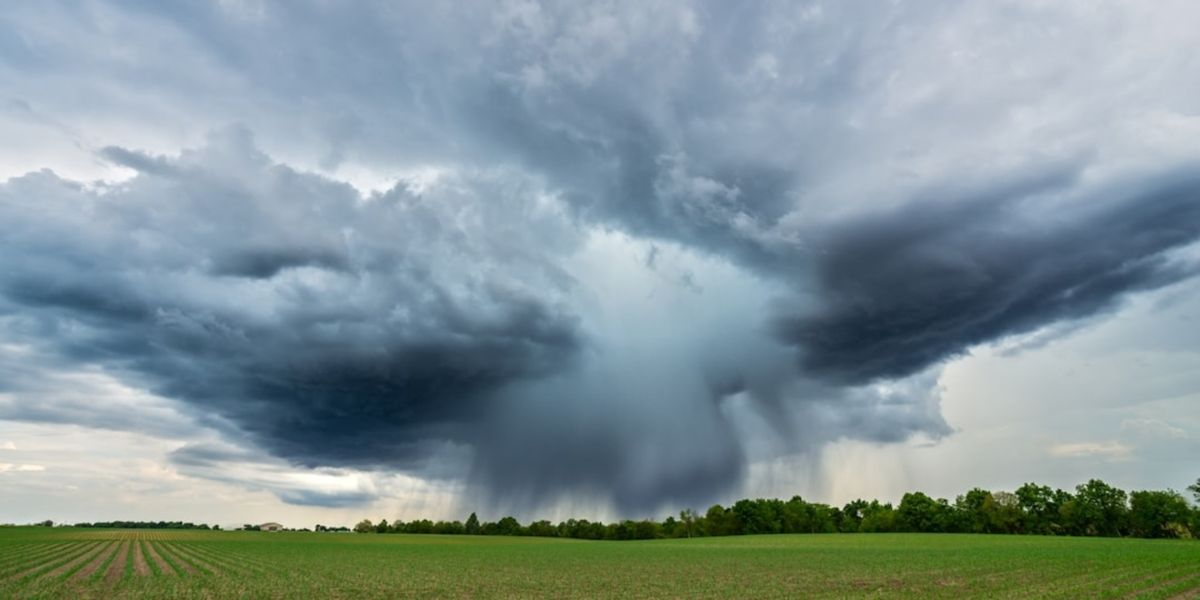
AccuWeather meteorologists are warning that the risk for severe weather will peak this weekend as a new storm system develops over the Mississippi Valley, strengthens, and tracks toward the Great Lakes region. Some of the severe thunderstorms on Saturday may even produce tornadoes, experts say.
Early Storms Ahead of the Weekend
Before the weekend, storms will drift across portions of the Plains, with locally heavy rain, gusty winds, and the possibility of isolated severe thunderstorms. Hail up to golf-ball size, damaging wind gusts, and localized flash flooding may occur in some areas.
The risk for severe weather on Thursday evening extends from northeastern New Mexico and the Texas and Oklahoma panhandles to south-central South Dakota.
“Storms will continue to develop and become more intense as the weekend progresses,” said AccuWeather meteorologists.
Friday’s Severe Thunderstorm Risk
Severe thunderstorms on Friday may be isolated, but some strong storms could develop in the afternoon and linger into the evening from central Oklahoma to central Iowa. These storms could bring gusty winds and heavy rainfall to the region.
Saturday: A More Widespread Severe Weather Event
As the new storm system gathers moisture from the Gulf of Mexico and moves northeast across the Mississippi Valley on Saturday afternoon and evening, severe thunderstorms are expected to develop across a wide area, including northeastern Texas, northern Louisiana, and central Illinois and Indiana.
Within this zone, a more concentrated area of severe thunderstorms is anticipated, along with a heightened risk for tornadoes in parts of central Arkansas, southeastern Missouri, and southwestern Illinois. Major cities in this moderate severe weather risk zone include St. Louis, Little Rock, and Memphis.
“Saturday’s storms could cause significant disruptions, including lightning delays for outdoor events like football games and golf tournaments,” said AccuWeather.
In the northern part of this zone, strong wind gusts are expected even without thunderstorms or lightning.
Sunday: Threat Continues Across the Southeast
On Sunday, the greatest risk for severe weather will stretch from the southern Appalachians to near the north-central Gulf Coast. As the storms approach Atlanta during the afternoon and potentially hold together into the evening near Charlotte, flight delays may increase.
Farther north, on Sunday, strong wind gusts are expected to occur even in the absence of thunderstorms from Kentucky to Ohio and Michigan, and eastward through West Virginia, Pennsylvania, and western New York.
“While the winds may be brief, the impact could still cause significant disruptions, especially for travelers,” said meteorologists.
Ongoing Weather Concerns
Blustery conditions are expected to persist from parts of the Midwest to the Appalachians into early next week, keeping the severe weather threat high.
What are your thoughts on how this storm may impact your weekend plans? Share your views in the comments below.

