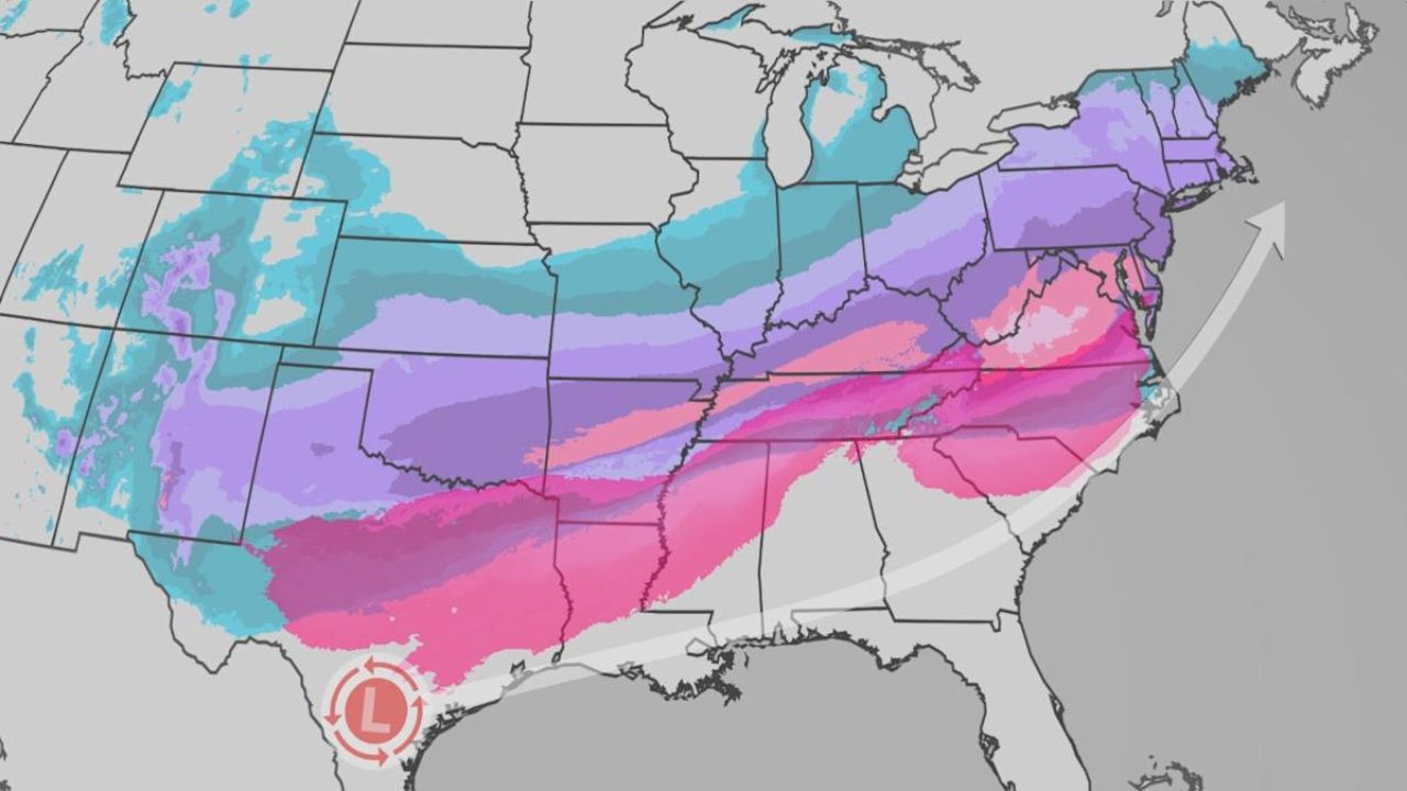
Atlanta, Georgia – While the corridor for measurable snowfall is narrowing across parts of the Deep South and southeastern United States, a rare winter setup could still bring snowflakes to areas that rarely see them. Forecasters say portions of the Carolinas could see snow this weekend, with flakes potentially reaching as far south as Florida, according to FOX Weather.
Forecast Models Pull Back on Widespread Snow
Earlier forecast models suggested the possibility of plowable snowfall across parts of the Southeast. However, newer data indicates the developing storm system may pull critical moisture out of the region before an arctic blast fully settles in.
This shift significantly lowers the chances of widespread or accumulating snow, though meteorologists stress that wintry precipitation is still possible in select areas.
“The opportunity for some sticking snow, measurable snow, anything that’s plowable is less likely at this point,” said FOX Weather Meteorologist Jane Minar, noting that snowflakes are still very much in the forecast picture.
Arctic Air Still Sets the Stage
Even as moisture availability becomes more uncertain, a surge of freezing arctic air is expected to push deep into the Southeast. This cold air could allow light snow to fall even with limited precipitation, especially during overnight and early morning hours.
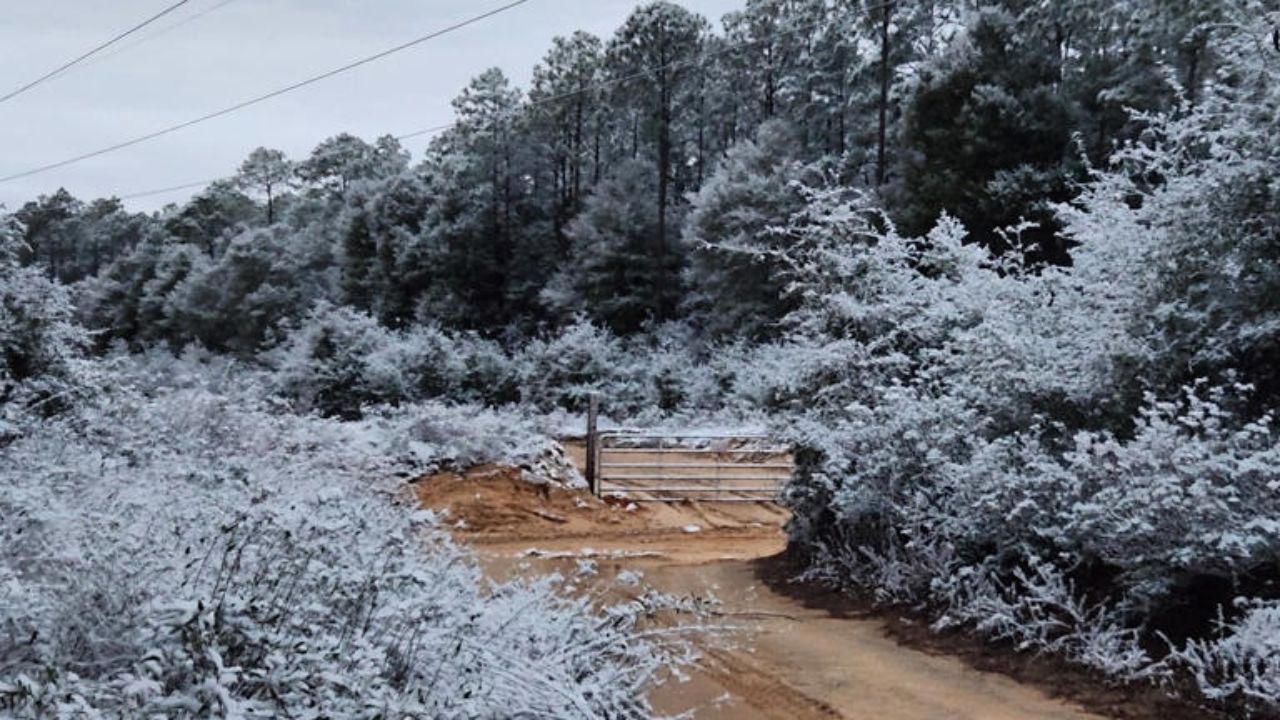
Forecasters say this type of setup often results in brief snow showers or flurries rather than long-lasting accumulation, particularly in southern states not accustomed to winter weather.
Hurricane Hunters to Fly Critical Mission
To refine the forecast, Hurricane Hunter aircraft are scheduled to fly into the developing Atlantic storm system. These missions involve dropping instruments directly into the storm to collect real-time data on strength, structure, and movement.
The information gathered will feed directly into forecast models and help determine whether the storm strengthens and slows — which could increase snow chances — or continues moving quickly out to sea, reducing winter impacts across the Southeast.
Snow Still Possible for the Carolinas and Beyond
While widespread snow appears less likely than initially projected, forecasters say parts of the Carolinas remain the most favorable area for seeing measurable snowfall. Light snow or flurries could also reach into Georgia and northern Florida if conditions align at the right time.
Meteorologists emphasize that even minor snowfall in these regions is considered rare and can still impact travel due to limited winter weather infrastructure.
Uncertainty Remains Heading Into the Weekend
As the storm evolves, forecasters caution that small changes in timing or storm strength could still shift snowfall potential north or south. Updates are expected as new data from the Hurricane Hunter missions is processed and integrated into forecast guidance.
For now, residents across the Southeast are advised to monitor forecasts closely as the unusual winter pattern unfolds.

