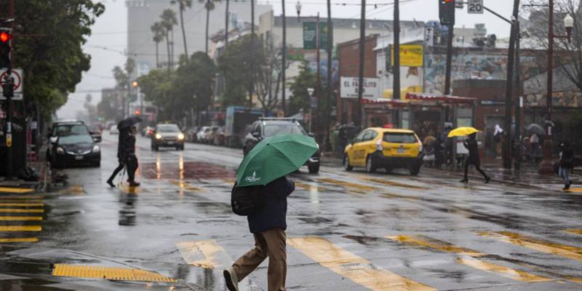
San Francisco, CA – After a cold, dry, and fog-filled start to December, a significant weather shift is underway across the Bay Area, with rainfall expected to increase and wet conditions likely to persist through the New Year, according to forecasters with the National Weather Service (NWS).
Meteorologists say the region is transitioning into a more active storm pattern, bringing multiple systems, beneficial rainfall, and potential impacts to holiday travel.
First Weak System Brings Light Rain to the Bay Area
The first in a series of storm systems began moving into the North Bay from the Eureka area earlier this week. According to Roger Gass, a meteorologist with the National Weather Service, this initial system is relatively weak.
Rain totals are expected to remain under one-tenth of an inch across most Bay Area communities, with up to half an inch possible in higher elevations through Wednesday afternoon. Meteorologists say the Bay Area is only catching the tail end of this system, which is why precipitation amounts are limited.
Despite the light rainfall, the system marks the beginning of a broader shift away from the dry conditions that dominated early December.
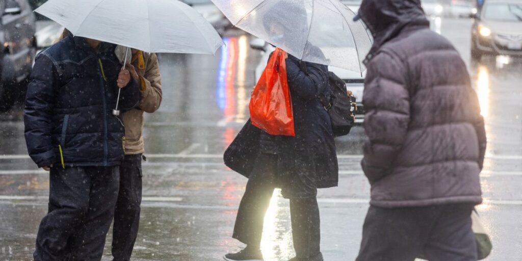
Second Storm Expected to Bring Widespread Rain
A second storm system is forecast to arrive late Thursday night, bringing periods of on-and-off rain that will first impact the North Bay before spreading southward.
By Friday afternoon or early evening, rain is expected across much of the Bay Area and into parts of the Central Coast. This system is predicted to linger through Saturday night, delivering more meaningful rainfall totals.
Forecasters estimate up to 2.5 inches of rain in the North Bay, 0.5 to 1 inch in San Francisco, and less than a quarter inch in San Jose. While not extreme, these totals could lead to slick roads, minor ponding, and slower travel during peak holiday activity.
Third System Could Be a Low-End Atmospheric River
Another, potentially stronger storm system is lined up immediately after the second. This third wave of rain is forecast to arrive on Sunday and may qualify as a low-end to moderate atmospheric river, according to Gass.
Although it remains too early to pinpoint exact rainfall totals, forecasters say this system could have larger regional impacts, especially as it approaches Christmas week. At this time, major river flooding is not expected, but officials emphasize that forecasts will continue to evolve.
“Rainfall amounts are very difficult to pin down, but we are expecting it to be more of a larger impact system leading up to Christmas,” Gass said.
Wet Pattern Likely to Persist Through the New Year
Meteorologists say the unsettled weather pattern could linger through the New Year, with additional systems possible beyond Christmas. While confidence decreases farther out in time, current models suggest continued opportunities for rain across Northern and Central California.
The National Weather Service is advising residents and travelers to monitor forecasts closely, especially with increased travel expected around the holidays.
Fog Clears, but the Chill Remains
The transition to wetter weather is also expected to help clear the persistent tule fog that has blanketed parts of the Bay Area after spreading in from the Central Valley. While visibility should improve, temperatures are expected to remain cool.
“It may be a few degrees warmer than what it has been in parts of the Central Valley and North Bay,” Gass said, “but it won’t warm up very much.”
Rain Expands Across California
Beyond the Bay Area, wet weather has already returned to the Sacramento region, beginning Tuesday and potentially lasting into Christmas or even the New Year. Central California is also expected to see light precipitation this weekend and into next week.
In Southern California, conditions are expected to remain mostly dry through Saturday, though next week’s winter storm could impact the region as well. Forecast discussions from Los Angeles-area meteorologists note that the timing and strength of that system remain uncertain.
“All signs are pointing to a pattern shift with widespread rain across the region as early as next weekend, but more likely the week of Christmas,” the weather service said.
Stay Prepared and Share Your Thoughts
With multiple storm systems, holiday travel concerns, and a longer wet pattern ahead, Bay Area residents are encouraged to stay weather-aware and plan accordingly.
Do you welcome the return of rain after the dry start to December, or are you worried about holiday travel disruptions? Share your thoughts and how you’re preparing in the comments below.


