Phoenix, AZ — A powerful round of storms hit the West Valley on Wednesday, dropping heavy rain, lightning, and a thick layer of hail that many residents initially mistook for snow. The chaotic weather prompted officials to extend the First Alert Weather Day through Thursday, as more storms are expected to sweep across central and northern Arizona.
The flood watch, which includes north Valley communities such as Scottsdale, the Deer Valley neighborhood, and Cave Creek, has now been extended until 6 a.m. Thursday. Overnight rain probabilities have also spiked, rising from 45% to 70%, signaling a likely wet Thursday morning commute for Valley residents.
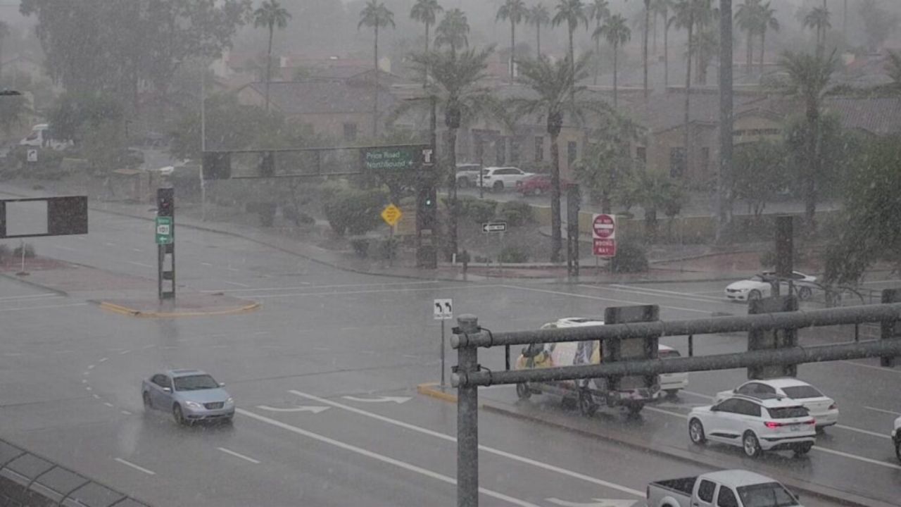
West Valley Takes the Hardest Hit
A line of thunderstorms barreled into the region Wednesday afternoon, moving from Avondale and Tolleson toward Glendale and Peoria.
One of the most significant incidents occurred at Desert Sky Mall in west Phoenix, where part of the roof collapsed amid the intense storm. Dozens of shoppers and employees were evacuated as crews responded to the damaged structure.
The weather also threw operations at Phoenix Sky Harbor International Airport into chaos. The FAA briefly issued a ground stop for incoming flights, which was lifted shortly before 6 p.m. Outbound flights still faced delays, with some passengers waiting over an hour to depart.
At the peak of the storm, more than 6,600 SRP customers in Glendale and west Phoenix lost electricity. APS reported fewer than 450 outages during the same period. By 9 p.m., fewer than 800 customers combined across both utilities remained without power.
Officials cautioned that because of Tuesday’s rainfall, the ground across the Valley is already saturated, making the area more vulnerable to flash flooding if additional heavy rain arrives overnight.
What’s Next for the Valley
Daytime temperatures will linger in the mid-60s through the rest of the week. Thursday afternoon should bring a break from the storms, offering some dry conditions before the next round of weather moves in.
Looking ahead, a shift to drier, warmer weather is expected next week, with highs climbing back into the 70s.
Wintry Weather for the High Country
The High Country will not escape the reach of this active weather pattern. Snow levels are expected to drop to around 6,500 feet through Thursday, bringing 1–2 inches of new snow to areas such as Flagstaff.
Higher elevations—particularly the Rim and the White Mountains—could see heavier snowfall as the system marches east overnight. Some regions above 7,000 feet may receive 1–4 inches of moisture through Thursday.
And the storm train isn’t done yet.
Another Pacific weather system is expected to follow closely behind, pushing into Arizona by Thursday night. This second system is forecast to boost rain chances in western Arizona by early Friday morning, adding more precipitation to an already saturated landscape.
Current projections place rain chances at around 30% for the Valley this Saturday and Sunday, though meteorologists say exact rainfall totals remain uncertain.
By next week, the weather finally calms down, offering a return to quieter skies and temperatures in the 70s.
Have you experienced the hail, flooding, or delays today? Drop your thoughts, videos, or storm stories in the comments — your insight helps other readers stay prepared!


