Los Angeles, CA – Southern California is bracing for a major winter storm expected to arrive just days before Christmas, prompting urgent warnings from meteorologists about heavy rainfall, dangerous winds, and a heightened risk of flooding and debris flows across the region.
Extended Winter Storm to Soak Southern California for Days
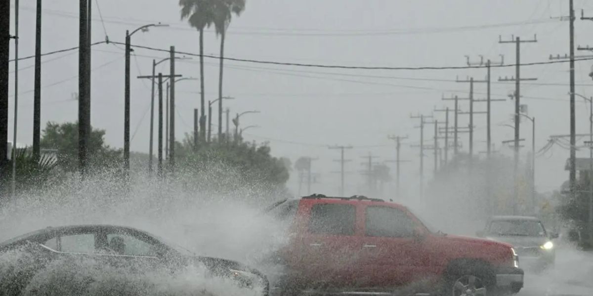
According to the National Weather Service (NWS), the storm system is forecast to impact the region from Tuesday through Saturday, bringing an extended period of intense rainfall. Meteorologists estimate that coastal and valley areas could receive 4 to 8 inches of rain, while foothills and mountainous regions may see 8 to 12 inches or more by Saturday evening.
Officials warn that the prolonged nature of the storm significantly increases the risk of urban flooding, mudslides, and debris flows, particularly in areas recently affected by wildfires or burn scars. Residents are being urged to take precautionary measures now, as conditions may deteriorate quickly once rainfall intensifies.
Atmospheric River Expected to Deliver the Heaviest Rain
The most dangerous phase of the storm is expected Tuesday night into Wednesday, when a moderate to strong atmospheric river is forecast to move directly over Southern California. During this critical window, rainfall totals could reach 2 to 5 inches in coastal and valley locations and 5 to 10 inches in foothill and mountain communities.
Forecasters warn that hourly rainfall rates may climb as high as 0.75 to 1.25 inches, a level capable of overwhelming drainage systems and triggering flash flooding. The timing of the storm is particularly concerning, as it coincides with one of the busiest holiday travel periods of the year, increasing the risk of dangerous road conditions and travel delays.
Flood Watch Issued Across Four Counties
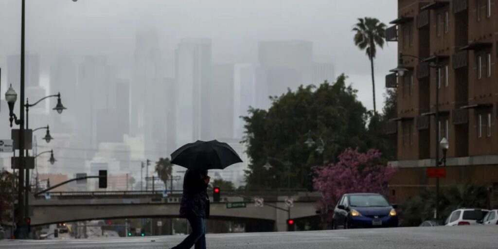
In response to the looming threat, the National Weather Service has issued a Flood Watch for all four Southern California counties, effective from Tuesday afternoon through Wednesday evening. Authorities are advising residents in flood-prone zones to prepare for possible evacuations and avoid low-lying areas during periods of heavy rain.
Emergency officials emphasize that even brief downpours could cause significant flooding due to saturated soil and runoff from hillsides. Communities near creeks, rivers, and storm channels are at particular risk and should remain vigilant throughout the week.
Strong Winds Could Cause Power Outages and Damage
Beyond the rain, strong southerly winds are expected to accompany the storm, especially on Tuesday and Wednesday. Wind gusts could be strongest in mountain and foothill regions, where downed trees and power lines are a serious concern.
Officials are warning residents to secure outdoor objects, park vehicles away from tall trees, and prepare for the possibility of power outages. Coastal waters are also expected to become hazardous, prompting authorities to advise against unnecessary ocean activity during the storm.
Officials Urge Residents to Stay Informed
Meteorologists caution that the timing and intensity of the storm could still change as it approaches. Residents are strongly encouraged to monitor updates from the National Weather Service and KTLA meteorologists for the latest forecasts, warnings, and safety guidance.
Emergency management agencies stress that early preparation can help reduce risks, urging households to check emergency kits, clear storm drains, and plan alternate travel routes in case of road closures.
What do you think about this upcoming storm? Have you experienced severe winter weather in Southern California before, or are you taking extra precautions ahead of Christmas? Share your thoughts and experiences in the comments below and join the conversation.


