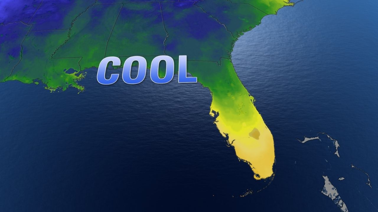
Orlando, FL – A weak cold front is making its way across Central Florida, bringing a refreshing dip in temperatures and a few spotty showers to kick off the new week. Residents can expect a cooler, breezy Monday before warmer air returns midweek.
Cooler Air Moves Into Central Florida
As the cold front pushes through, Monday morning will feel noticeably cooler compared to recent days. Early risers in DeLand and Palm Coast will wake up to temperatures near 58 to 61 degrees, while Ocala starts even cooler around 55 degrees. In Orlando, the morning temperature will hover near 60 degrees, providing a crisp and comfortable start to the workweek.
Afternoon highs will remain below seasonal averages for early November. Forecasts show Orlando reaching around 76 degrees, while other parts of the region will top out in the low to mid-70s, including 72 in Ocala and 73 in Palm Coast.
Breezy Conditions to Start the Week
The shift in air mass will also bring breezy conditions, particularly along the coast, where wind gusts could reach up to 25 mph. These gusty winds are expected to persist into Tuesday, making for a brisk and refreshing couple of days across the region.
Forecasters from Pinpoint Weather note that while the cooler temperatures won’t stick around for long, the temporary drop offers a pleasant break from the warmth Central Floridians have felt lately.
Spotty Showers Early, Sunshine by Afternoon
With the front’s arrival, a few light, isolated showers are possible early Monday morning, mainly across Lake, Orange, Osceola, and Polk counties. These brief sprinkles may cause damp spots on the roads during the morning commute, but no significant rainfall is expected.
By midday, skies will begin to clear, and sunshine will return for the afternoon, setting up a pleasant, mild day overall. The rest of the week looks mostly dry, with only a slight chance of isolated showers by Friday as another weak disturbance passes through.
Warming Trend Returns Midweek
The cooler weather will be short-lived. By Wednesday, temperatures will start to climb again, with highs expected to reach the low to mid-80s across much of Central Florida. The warming trend is forecast to continue through the upcoming weekend, returning the region to more typical early November conditions.
Meteorologists say this week’s weather pattern is a classic Florida fall setup — brief cool-downs followed by warmups as fronts move through and retreat.
Quiet Tropics as Hurricane Season Nears Its End
In the wider weather picture, the tropics remain quiet as the 2024 hurricane season winds down. The National Hurricane Center (NHC) reports no active systems in the Gulf of Mexico or the Atlantic Ocean, and conditions are expected to stay calm for at least several more days.
The official end of hurricane season is November 30, and so far, forecasters see no signs of new storm development on the horizon.
For now, Central Florida can enjoy a brief taste of cooler, drier air before temperatures start to climb again midweek.
How are you enjoying this cool start to the week in Central Florida? Share your thoughts and favorite fall activities in the comments below.


