Trenton, NJ – A clipper system is expected to bring light snow to northern New Jersey late Monday into early Tuesday, raising concerns about slippery road conditions during the Tuesday morning commute, according to the National Weather Service (NWS).
Snow Expected Monday Night into Tuesday Morning
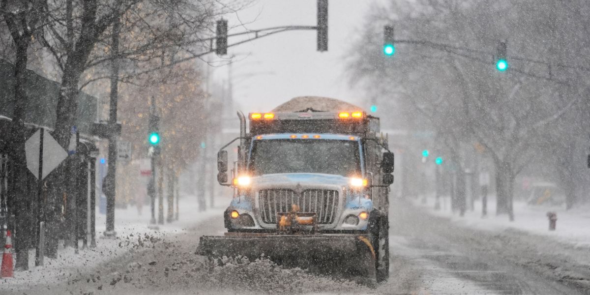
Meteorologists say snowfall will begin after midnight Monday night, primarily impacting areas along and north of I-78. Accumulations in these regions are forecast to reach 1 to 2 inches, while most of the state will likely see less than an inch, with some areas receiving only a light dusting of snow.
Temperatures are expected to hover near freezing, creating the potential for icy spots on untreated surfaces during the early-morning commute. Drivers are advised to exercise caution, especially on bridges, overpasses, and side streets that can freeze more quickly.
Transition to Rain as Temperatures Rise
As Tuesday progresses, temperatures are forecast to climb above freezing, causing snow to transition to rain across most of the state by midday. A warm front will push highs into the 40s for most areas by Tuesday afternoon, and any remaining precipitation should taper off by early evening.
Meteorologists note there is still some uncertainty regarding how far south the wintry precipitation will reach, but northern commuters should prepare for slick roads during early travel hours.
Wednesday Brings Partly Cloudy Skies and High Pressure
After the clipper system moves out, high pressure will briefly settle over the region on Wednesday, bringing partly cloudy skies and seasonable highs in the 40s. Winds will remain gusty at 15 to 20 mph during the day before diminishing in the evening.
Christmas Day Forecast: Light Precipitation Possible
For Thursday, Christmas Day, a weak system approaching from the southwest may bring light precipitation, especially late Wednesday night into the morning hours. Northern areas could see light snow before it quickly transitions to rain as temperatures rise above freezing. Highs are expected to remain in the 40s, providing mild holiday conditions.
Residents are encouraged to stay updated on timing, especially if traveling on Christmas morning, as the precipitation may briefly impact roads.
End-of-Week Warmth and Weekend Outlook
Friday is forecast to be the warmest day of the week, with highs surging into the 50s to near 60 degrees. Light rain or showers are possible throughout the day.
Saturday brings a return to more seasonable conditions, with highs in the 40s and dry weather expected.
However, another system approaching on Sunday could introduce additional rain chances, potentially affecting end-of-weekend plans.
Travel and Safety Advice
With light snow and icy conditions expected early Tuesday, commuters are advised to:
- Allow extra travel time
- Use caution on bridges and untreated roads
- Monitor local weather updates from the NWS
Though accumulations are modest, even a thin layer of snow on freezing surfaces can create hazardous conditions, especially during morning rush hours.
Are you ready for potential snow and icy roads in northern New Jersey? Will you be traveling on Tuesday morning, or are you planning to stay home? Share your experiences, safety tips, and holiday travel plans in the comments below.


