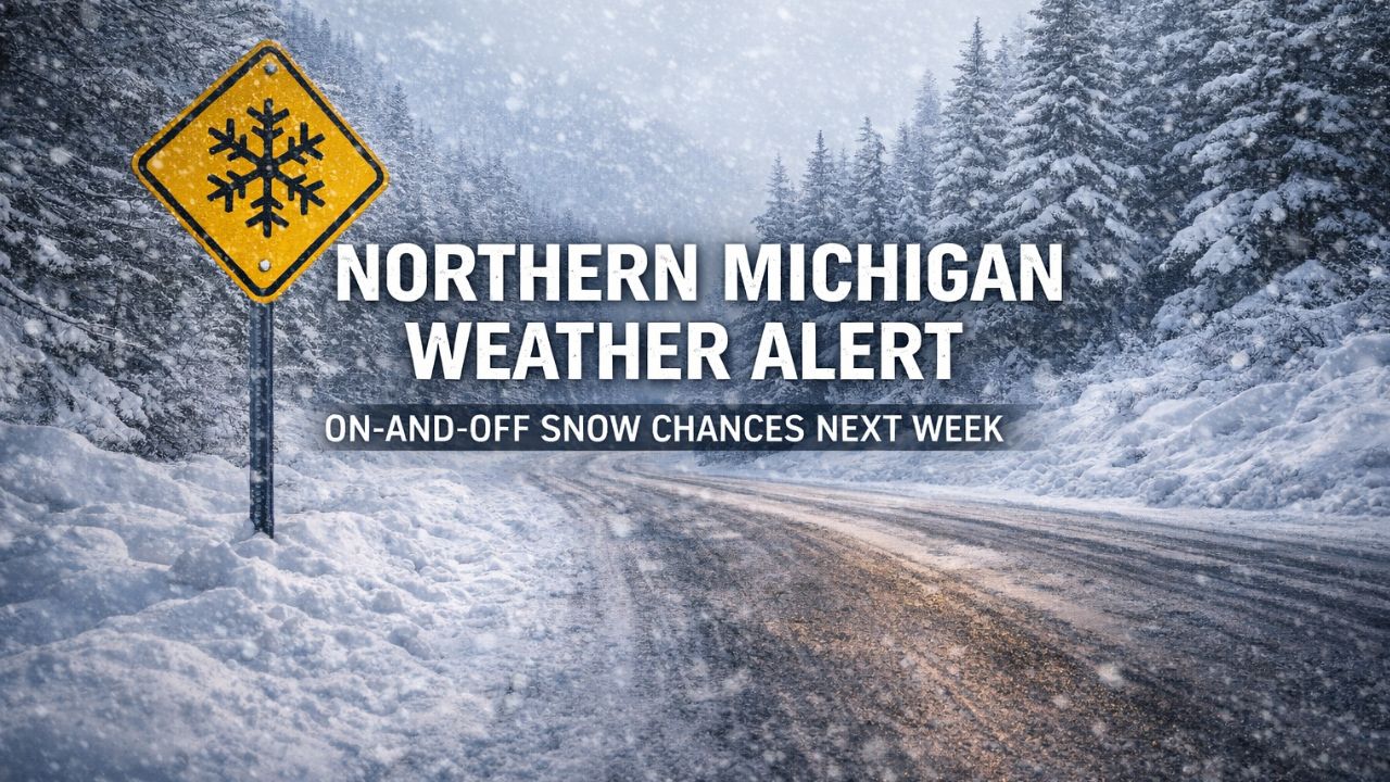
Gaylord, Michigan — Residents across northern Michigan and the eastern Upper Peninsula should prepare for intermittent snow chances to linger into next week, though forecasters say snowfall totals are expected to remain light. While winter weather stays in the picture, a gradual warming trend is expected to help limit impacts even as snow showers continue to make periodic appearances.
According to the National Weather Service office in Gaylord, the region will see off-and-on snow showers through the weekend and into early next week, driven largely by lake-effect patterns and weak passing systems.
Light snow continues with minimal accumulation expected
Meteorologists say the overall setup favors light, episodic snowfall rather than widespread accumulation. While some locations may briefly pick up coatings during overnight or early morning hours, no significant snow totals are currently forecast.
Forecasters note that temperatures gradually trending upward will play a key role in keeping snow amounts in check, even as snow chances remain present on the daily forecast.
Thursday night brings cold temperatures and lake-effect snow
Thursday night will bring the coldest conditions in the near-term forecast, with overnight lows expected to fall between 0 and 11 degrees across much of northern Michigan.
During this time, light to moderate lake-effect snow showers are possible, particularly across parts of the eastern Upper Peninsula. While most areas will see only light snow, localized heavier lake-effect bands could develop briefly, depending on wind direction and moisture availability.
Despite the cold and snow potential, forecasters say widespread travel disruptions are not anticipated at this time.
Friday sees lingering snow before tapering off
Snow chances are expected to linger into Friday morning, with light snow showers gradually diminishing through the afternoon. Daytime highs will range from 18 to 24 degrees, keeping conditions firmly in winter territory.
Even as snowfall tapers, cold pavement and lingering moisture could still create slick spots on untreated roads, particularly during the morning commute.
Drivers are urged to remain alert for changing conditions, especially in areas prone to lake-effect snow.
Snow chances return Friday night into Saturday
After a brief lull Friday afternoon, snow chances return Friday night into Saturday, as another weak system moves through the region.
Forecast guidance suggests widespread light snow is possible during this period, though accumulation is expected to stay modest. Temperatures during this time will climb slightly, with highs reaching the upper teens to mid-20s.
Forecasters emphasize that while snowfall amounts look limited, visibility reductions could occur during brief snow bursts.
Slight improvement expected on Sunday
Conditions appear to improve somewhat by Sunday, with partly cloudy skies expected across much of northern Michigan.
Temperatures will range from 19 to 27 degrees, depending on location. While cold air remains in place, the break in steady snow chances should provide a brief window of quieter weather before snow chances increase again early next week.
Warmer air moves in early next week
A noticeable shift is expected by Monday, as temperatures rise further into the upper 20s to low 30s. With highs forecast between 27 and 33 degrees, snow chances will redevelop across parts of northern Michigan, but warmer air should keep totals on the lighter side.
Read Also: First Meteor Shower of 2026 Peaks This Weekend, but Moonlight May Limit the Show
Forecasters say this warming trend marks the beginning of a less harsh winter pattern, reducing the likelihood of heavy snow even as periodic precipitation continues.
Why slick roads remain a concern
Even with limited snowfall expected, officials stress that road conditions can still deteriorate quickly, particularly overnight and during early morning hours.
Key factors include:
- Brief snow showers reducing visibility
- Fluctuating temperatures near freezing
- Refreezing moisture on untreated roads
Drivers are encouraged to slow down, increase following distance, and remain cautious during periods of active snow, even when accumulations are minimal.
Lake-effect snow remains unpredictable
Forecasters caution that lake-effect snow can be highly localized, meaning some communities may see little to no snow while nearby areas experience brief heavier bursts.
Residents in snowbelt areas are advised to monitor updated forecasts closely, especially if travel plans involve overnight or early morning driving.
Read Also: Bay Area King Tides Return for New Year 2026 as Coastal Flood Advisory Takes Effect
What residents should expect moving forward
Overall, the forecast points to a persistent but manageable winter pattern for northern Michigan and the eastern Upper Peninsula. While snow chances will continue on and off into next week, significant accumulation is not currently expected, and a gradual warming trend should help ease impacts.
Still, winter conditions remain, and officials stress that even light snow can cause hazardous travel under the right conditions.
As always, the National Weather Service encourages residents to stay informed through updated forecasts and weather alerts, particularly during periods of lake-effect snow.
Have you seen snow showers in your area already, or are roads staying clear where you live? Share your local conditions in the comments and help others stay informed as northern Michigan navigates another stretch of winter weather.


