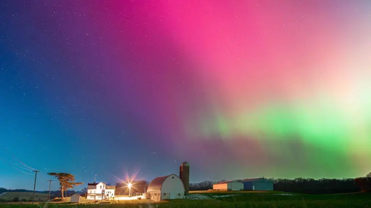
Detroit, Mich. – Metro Detroit residents may have a rare opportunity to witness the Northern Lights tonight, as clear skies and cold air move into the region. According to meteorologists, a strong geomagnetic storm is expected to make the aurora borealis visible across Southeast Michigan, especially in darker, rural areas away from city lights.
Best Chance to See the Northern Lights
The National Weather Service reports that the geomagnetic activity will be strong enough for residents across Metro Detroit, the Thumb, and surrounding regions to spot the aurora late Wednesday night into early Thursday morning.
Experts recommend heading away from bright, urban zones to improve visibility. Northern parts of Oakland, Lapeer, and St. Clair Counties, as well as areas near Port Huron and the Thumb, will offer the clearest skies and best chances to see the light show.
Tips for Aurora Viewing
If you plan to catch the Northern Lights, here are some expert tips to enhance your experience:
- Find a dark location far from city lights or highways. The fewer artificial lights, the better.
- Look toward the northern horizon. The aurora may appear as green, red, or pink glows, or as faint vertical pillars.
- Give your eyes 15–20 minutes to adjust to the darkness for optimal viewing.
- Try your phone camera. Even if your eyes don’t immediately detect the lights, many smartphones can capture the faint colors with a long exposure.
Meteorologists say that mostly clear skies tonight give Metro Detroit one of the best opportunities in months to view the aurora borealis.
Cold and Calm Overnight
While the sky will remain clear, temperatures will drop sharply overnight, falling to around 30°F across Metro Detroit. Winds will stay light from the west, between 5 and 10 mph, with gusts near 20 mph in some open areas.
Bundle up if you plan to be outside viewing the Northern Lights, as the wind chill could make it feel even colder after midnight.
Thursday: Sunny and Seasonable
Thursday will feature sunny skies and seasonable temperatures across Southeast Michigan. Highs will reach around 50°F in Detroit, while the Thumb region remains slightly cooler in the mid-40s.
Winds from the west will blow between 6 and 12 mph, occasionally breezy in the afternoon, but the day will stay dry and comfortable.
It’s shaping up to be a pleasant November day for outdoor errands, school drop-offs, or a lunch break in the sun.
7-Day Forecast: Mild Weather Ahead, Weekend Rain Chances
The mild streak continues Friday, with mostly sunny skies and highs climbing into the lower to mid-50s. Areas south of I-94 are expected to be the warmest.
Saturday looks to be the warmest day of the week, reaching around 60°F in Detroit and the mid-50s near the Thumb. However, a cold front will move in late Saturday night, bringing rain showers into early Sunday.
By Sunday, temperatures will cool back into the mid- to upper-40s, with Metro Detroit remaining slightly warmer than northern areas.
Looking ahead to early next week, highs will hover near to slightly below normal, ranging from the mid-40s to upper-40s, with overnight lows in the upper 20s to low 30s.
Will you be heading out to try and spot the Northern Lights tonight?
Share your photos, experiences, and viewing tips in the comments below, and tell us if you managed to catch a glimpse of Michigan’s rare aurora display!

