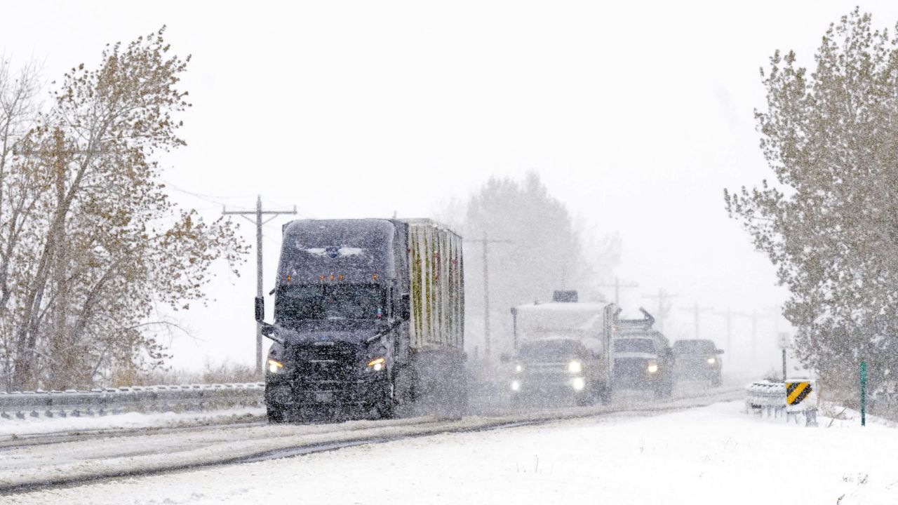
Detroit, MI — Michigan is bracing for a dangerous mix of blizzard conditions, heavy snowfall, and powerful winds this week, with 78 counties now under active weather alerts issued by the National Weather Service (NWS). From the Upper Peninsula to Southeast Michigan, multiple regions are expected to face travel disruptions, blowing snow, and hazardous wind gusts reaching 50 mph or higher.
Blizzard Conditions Expected in the Upper Peninsula
Several counties in the U.P. are under a Blizzard Warning, with forecasts predicting whiteout visibility, wind gusts over 50 mph, and snowfall topping 30 inches in select areas. The NWS indicates that these conditions will make travel nearly impossible at times.
Counties under Blizzard Warning (through Thursday):
- Keweenaw County — 7 p.m. Tuesday to 7 a.m. Thursday
- Ontonagon County — same duration
- Northern Houghton County — same duration
- Baraga County — same duration
- Gogebic County — same duration
- Marquette County — 7 a.m. Wednesday to 10 a.m. Thursday
- Alger County — 1 p.m. Wednesday to 7 p.m. Thursday
Heavy Snowfall Triggers Winter Storm Warnings
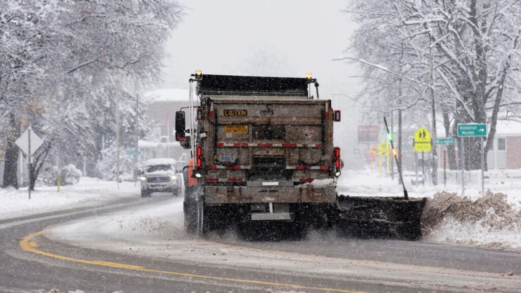
A widespread Winter Storm Warning spans dozens of counties across northern and western Michigan. Snow totals, wind chills, and drifting snow are expected to create hazardous travel throughout midweek.
Key counties under Winter Storm Warning:
- Iron, Southern Houghton, Luce, Delta, Schoolcraft
- Leelanau, Benzie, Manistee, Chippewa, Mackinac
- Otsego, Crawford, Missaukee, Roscommon
- Charlevoix, Antrim, Kalkaska
- Mason, Oceana, Newaygo, Mecosta
- Allegan, Barry, Van Buren, Kalamazoo, Calhoun
- Lake, Osceola, Grand Traverse, Wexford, among others
Some warnings extend as far as Friday evening, especially across Chippewa, Mackinac, Otsego, and nearby counties, as per the reports.
Widespread Winter Weather Advisories in Effect
Central and Northeast Michigan are facing a Winter Weather Advisory, signaling moderate travel issues, slick roads, and steady snow accumulation.
Counties include: Isabella, Montcalm, Ionia, Eaton, Jackson, Muskegon, Ottawa, Kent, Clare, Montmorency, Oscoda, Ogemaw, Alpena, Cheboygan, Presque Isle, Dickinson, Menominee, and more.
Many of these advisories last from Wednesday morning through Thursday evening, with northern advisories extending into Friday.
Strong Winds Across Southeast Michigan
A Wind Advisory covers nearly all of Southeast Michigan, including high-population counties like Wayne, Oakland, Macomb, Washtenaw, Genesee, Livingston, Monroe, and Lenawee. These areas may experience 45–50 mph wind gusts, capable of causing power outages, tree damage, and travel issues for high-profile vehicles.
The advisory is active from 10 a.m. Wednesday to 4 a.m. Thursday.
Additional northern counties — such as Charlevoix, Emmet, Otsego, Crawford, Kalkaska, Oscoda, Alpena, Ogemaw, Iosco, Arenac, and several others — are also under Wind Advisories beginning Wednesday evening.
High Wind Warnings Along Lake Michigan Shoreline
The strongest winds are expected in western Michigan along the Lake Michigan shoreline, where a High Wind Warning is in place. Gusts may exceed 60 mph, posing risks to power lines and lakeshore flooding.
Counties under High Wind Warning:
- Mason County
- Oceana County
- Muskegon County
- Ottawa County
- Allegan County
- Van Buren County
Michigan Residents Urged to Prepare
The NWS urges residents to:
- Avoid unnecessary travel in blizzard-impacted zones
- Secure outdoor items
- Prepare for potential outages
- Monitor updated local forecasts
Share your county and the conditions near you in the comments!


