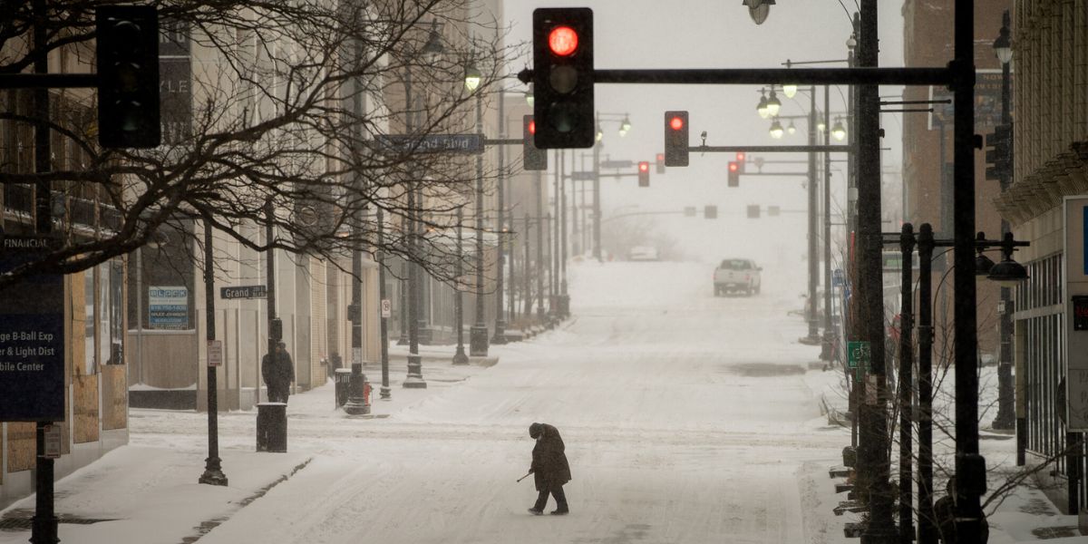
Detroit, Michigan — Metro Detroit is heading into another bitter night after experiencing a record-breaking low of just 5 degrees on Thursday night. Forecasters say temperatures will remain extremely cold, only climbing into the upper teens and low 20s by Friday night, extending the region’s deep freeze.
The brutally cold temperatures arrive as Southeast Michigan continues its early-season stretch of winter weather, and forecasters warn that several more rounds of snow and ice could be right behind it.
Light Snow and Freezing Drizzle Possible Into Saturday
While temperatures will stay frigid through the night, residents north of M-59 may also see light snow, according to meteorologists. Meanwhile, the rest of Metro Detroit could encounter pockets of very light freezing drizzle through early Saturday morning.
Even minimal drizzle could create slick roads, especially with pavement temperatures well below freezing. Drivers are urged to use caution on elevated surfaces and less-traveled roads.
Saturday Brings Slight Warm-Up — But Clouds and Flurries Stick Around
Saturday will offer a brief and modest break from the extreme cold, with temperatures rising to near 34 degrees. This slight warm-up may allow for limited snow melt, particularly on pavement and sidewalks.
However, don’t expect much sunshine. Thick cloud cover and occasional flurries throughout the day will keep the region feeling chilly. Despite the lingering cold, Saturday is expected to be the better day for Christmas shopping, thanks to steadier weather and calmer conditions.
Quick Snow System Arrives Early Sunday
A fast-moving snow system is projected to push into Southeast Michigan early Sunday morning, dropping a fresh 1–2 inches of accumulation. Although this won’t be a major winter storm, the timing — arriving before sunrise — may make for slippery roads in the morning hours.
Forecasters note that this will likely be a quick hitter, but the new snow could create travel delays, especially for those heading out for early holiday plans or morning services.
Multiple Clipper Systems Expected Next Week
Meteorologists warn that the region is not done with winter weather yet. A series of Alberta clipper systems is expected to sweep through the area over the coming week, each bringing new chances for snow, ice, and wind chills.
Clipper systems are known for producing fast, sharp bursts of snow and quick drops in temperature — conditions that can create hazardous travel even without large accumulation.
Winter Weather Safety Reminders
With temperatures hovering near or below freezing for consecutive days, the following precautions are recommended:
- Limit time outdoors to avoid frostbite
- Keep an emergency kit in your vehicle
- Allow extra travel time during any snowfall
- Check on elderly neighbors or friends
- Protect pets, pipes, and plants from the bitter cold
Residents are encouraged to stay alert, follow updated forecasts, and prepare for the possibility of repeated winter impacts through the upcoming week.
Are you seeing flurries, freezing drizzle, or icy roads where you live?
Share your observations, photos, or questions in the comments — your input helps keep Metro Detroit informed.


