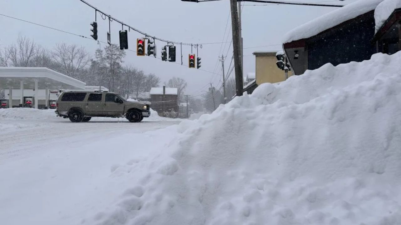
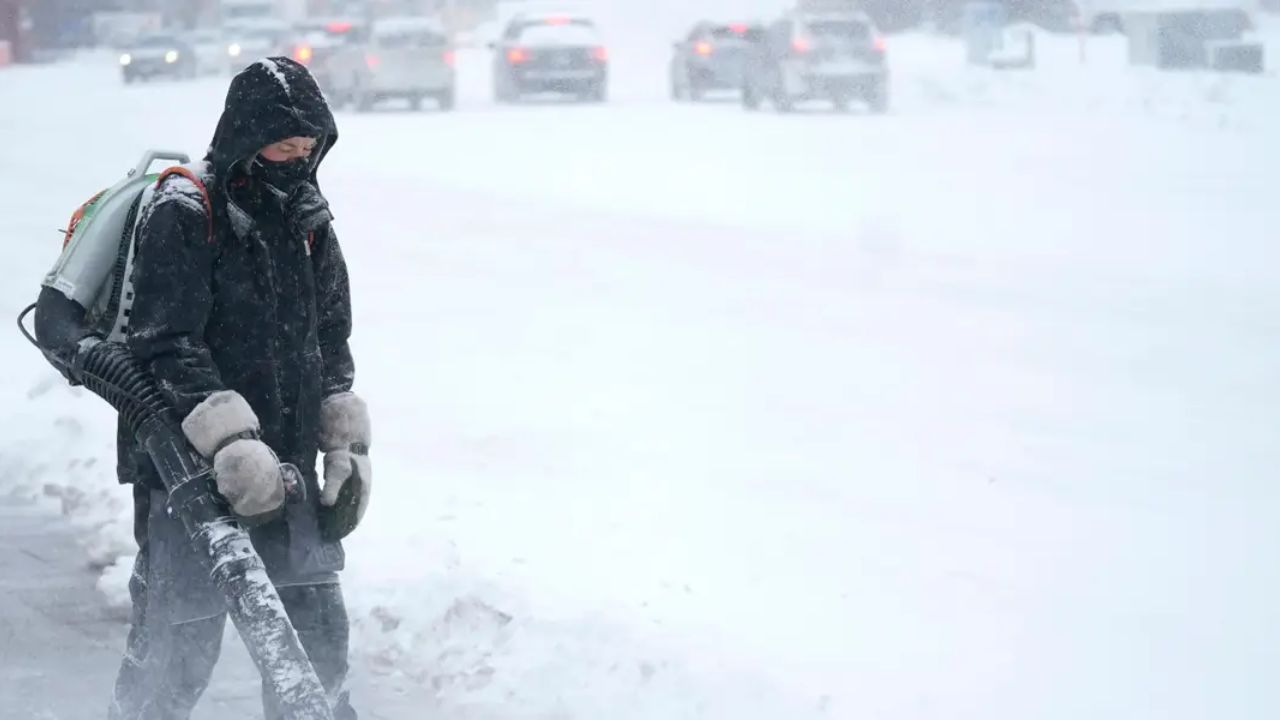
Cleveland, Ohio – Residents across Northern Ohio were treated to a sudden burst of winter weather on Monday evening, as large snowflakes began falling across several communities, signaling a brief but noticeable return of wintry conditions.
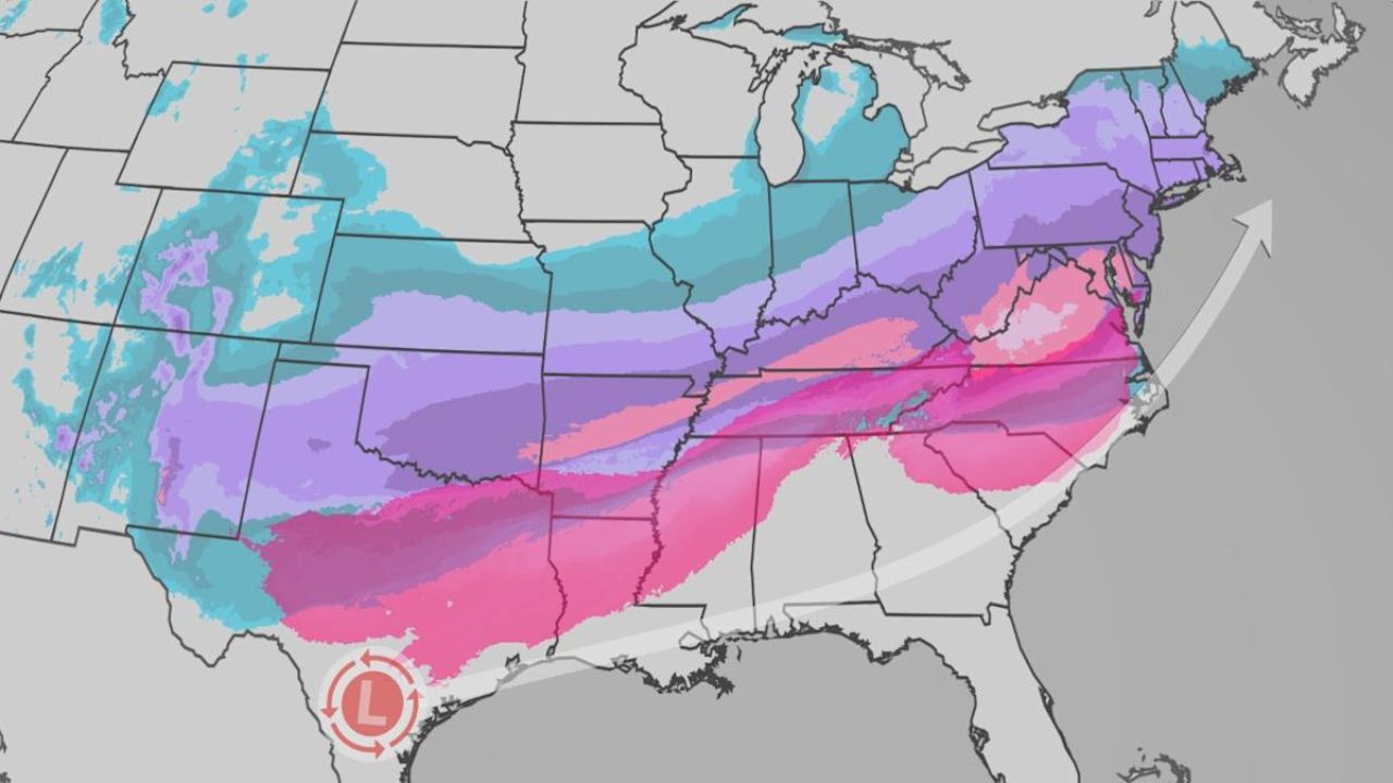
According to the National Weather Service (NWS), a “narrow band of snow” moved through parts of northeast Ohio and into northwest Pennsylvania, catching many people off guard during the evening hours.
While the snowfall was not expected to cause major accumulation, its timing and intensity sparked conversations among residents who had not seen flakes of that size in some time.
Narrow Band of Snow Moves Through the Region
Meteorologists with the National Weather Service reported that the snow developed as a compact, fast-moving band, which can often produce brief but intense snowfall over a short period. These narrow bands typically form when colder air moves into the region and interacts with lingering moisture in the atmosphere.
Communities in northeast Ohio, including areas near Cleveland, Akron, and surrounding suburbs, reported seeing large, fluffy snowflakes falling steadily for a time on Monday evening. The same band continued eastward into northwest Pennsylvania, where similar conditions were observed.
Despite the eye-catching snowfall, forecasters emphasized that the event was short-lived and not expected to lead to significant snow totals.
Residents Spot Large, Fluffy Snowflakes
Videos and photos shared on social media showed big snowflakes drifting down under streetlights, creating a classic winter scene across northern parts of the state. For many residents, the snowfall felt more dramatic than typical light snow showers due to the size of the flakes, even though accumulation remained minimal.
Some drivers reported briefly reduced visibility as the band passed through, especially on highways and rural roads. However, road conditions largely remained manageable, and no widespread travel disruptions were reported.
Meteorologists explained that larger snowflakes often form when temperatures hover close to freezing, allowing flakes to clump together as they fall.
What the National Weather Service Is Saying
The National Weather Service described the system as a narrow snow band, a phenomenon known for producing quick bursts of snow that can vary greatly from one neighborhood to the next.
Officials advised drivers to remain cautious during such events, noting that even a brief period of snow can create slick spots on bridges, overpasses, and untreated roads — especially during the evening commute.
Forecasters continued to monitor conditions across Ohio and Pennsylvania, but indicated that the band was expected to weaken as it moved east.
Limited Impact Expected
Despite the dramatic appearance of the snowfall, officials stressed that significant accumulation was not anticipated. Most areas saw little more than a dusting, if any accumulation at all, before the snow tapered off.
Weather experts say these types of narrow snow bands are common during transitional periods in winter, when cold air masses interact with residual moisture. While they can be visually striking, they typically pass quickly.
Residents were encouraged to stay weather-aware, especially as temperatures fluctuate and winter systems continue to move through the region.
Winter Weather Still in Play
Although the snow band was brief, meteorologists remind Ohioans that winter is far from over. Additional systems could bring more snow, rain, or mixed precipitation in the coming weeks, depending on temperature trends and storm tracks.
The National Weather Service recommends keeping emergency kits in vehicles, allowing extra travel time during winter weather, and staying informed through official forecasts and alerts.
Did you see the snow where you live? Were the flakes falling in your neighborhood, or did the band miss you entirely? Share your experience in the comments below and let us know what you saw!

