Sacramento, California — A busy and complex weather pattern is unfolding as 2026 begins, bringing renewed storm activity to the West Coast, dangerous lake-effect snow in the Great Lakes, and sharp temperature contrasts across the country.
Forecasters say multiple systems will combine to deliver heavy rain, mountain snow, gusty winds, and flooding concerns in some regions, while other parts of the U.S. remain locked in deep winter cold.
The pattern is expected to remain active through Saturday, with impacts stretching from California to the Northeast.
Atmospheric river returns to California
After a brief lull, a slow-moving upper-level trough approaching the West Coast is once again funneling Pacific moisture into California, setting up another atmospheric river event heading into the weekend.
Rainfall is already increasing across northern California, particularly along the coastal ranges and the northern Sierra, and is expected to spread south into Southern California by Saturday.
Forecasters warn that this system could produce periods of heavy rain, especially in terrain-favored locations.
Flash flooding risk increases in burn-scar and mountain areas
An isolated risk for flash flooding exists as early as Friday, with the threat increasing on Saturday.
Officials have highlighted Slight Risks of Excessive Rainfall (Level 2 of 4) for:
- Areas north of Los Angeles
- Upslope regions of the northern Sierra
These areas are especially vulnerable due to steep terrain and recent burn scars, where runoff can intensify rapidly even during short bursts of heavy rain.
Heavy mountain snow develops in the Sierra
As the upper trough moves eastward, cooler air will push inland, allowing snow levels to fall across California’s mountains.
By Saturday:
- Heavier snow is expected in the Sierra Nevada
- Higher elevations in northern California could see accumulating snowfall
- Travel through mountain passes may become hazardous or restricted
Gusty winds are also expected, potentially reducing visibility during periods of snow and rain.
Pacific Northwest also sees rain and mountain snow
While the heaviest precipitation will focus farther south, moderate rain will spread into the Pacific Northwest, including parts of Washington and Oregon.
Snow is expected in the higher elevations of the Cascades, adding to winter travel concerns through Saturday.
Lake-effect snow continues east of the Great Lakes
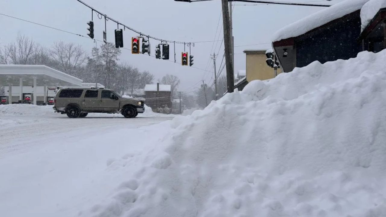
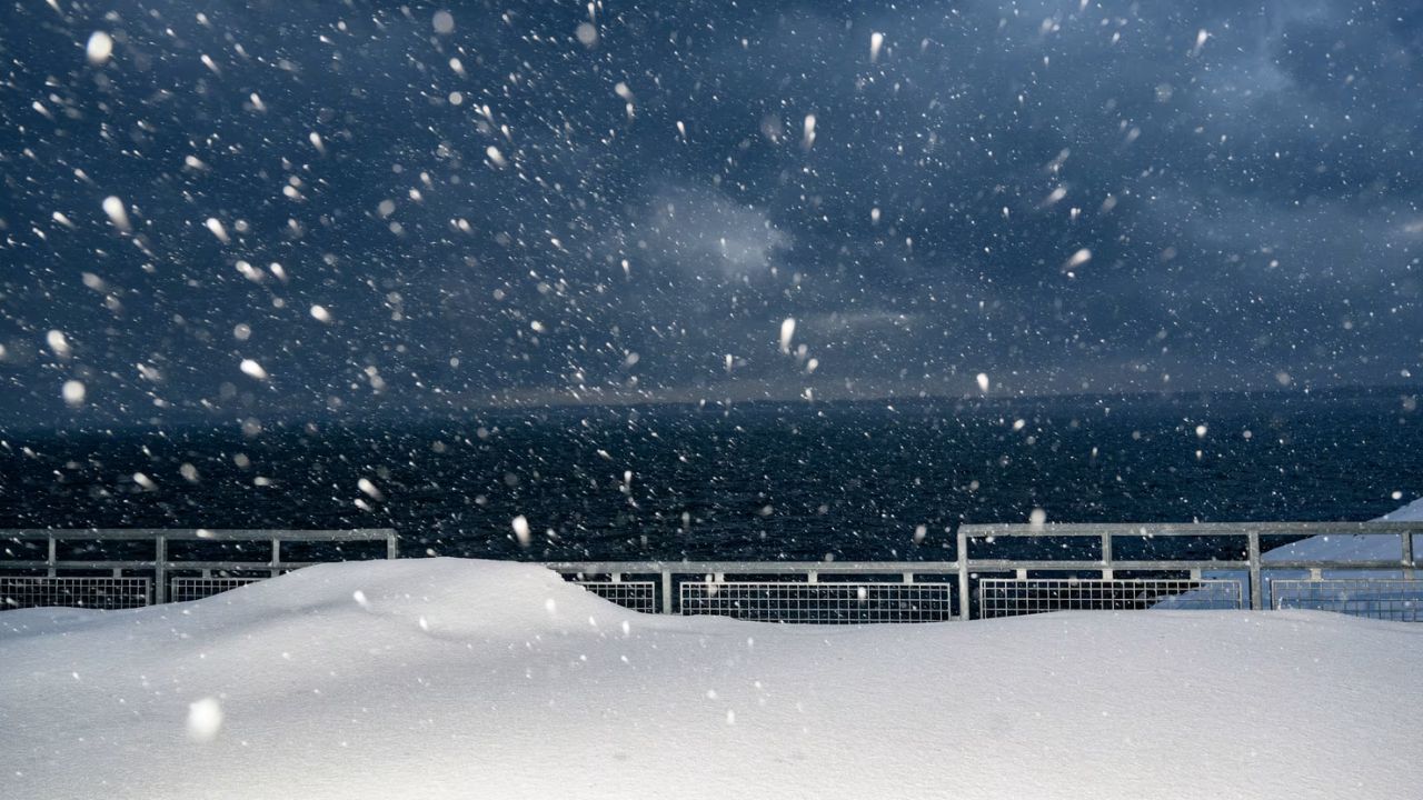
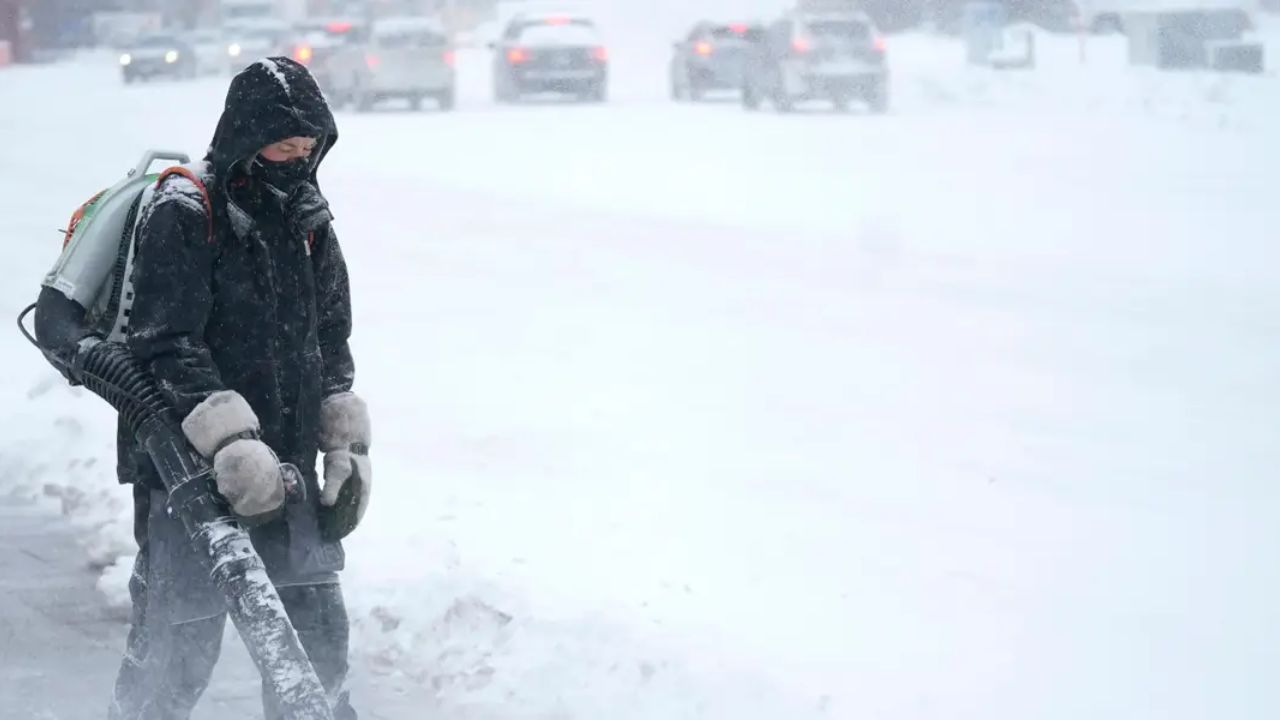
Far from the West Coast storms, lake-effect snow remains active across the Great Lakes region, particularly downwind of Lakes Ontario and Erie.
A persistent very cold westerly flow over the lakes continues to generate snow bands capable of producing:
- Several additional inches of snow
- Localized totals exceeding a foot, especially east of Lake Ontario
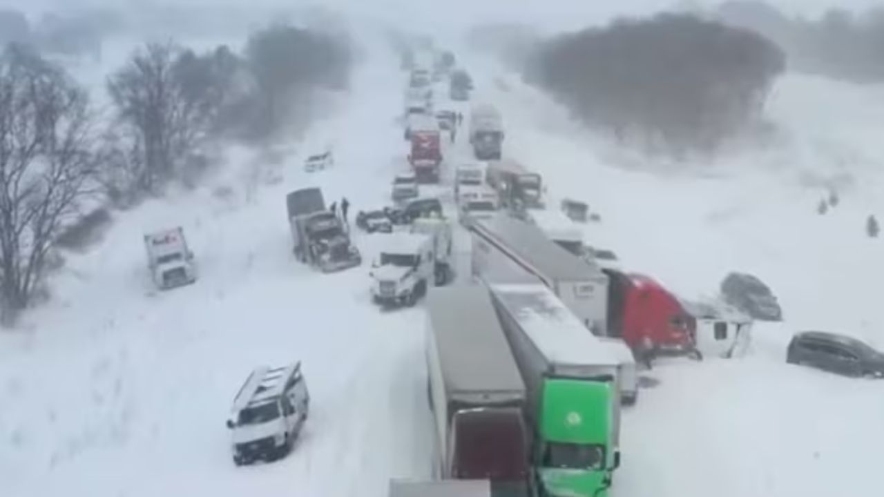
These snow bands can shift quickly, leading to rapid changes in road conditions and visibility.
Read Also: Bay Area King Tides Return for New Year 2026 as Coastal Flood Advisory Takes Effect
More snow for the Rockies and Great Basin
Meanwhile, a quick-moving upper-level wave is bringing additional snow to:
- Parts of the northern and central Rockies
- Portions of the Great Basin
Snowfall will taper off temporarily Friday evening, but snow chances increase again Saturday as the western trough approaches inland.
Thunderstorms possible in the Southeast
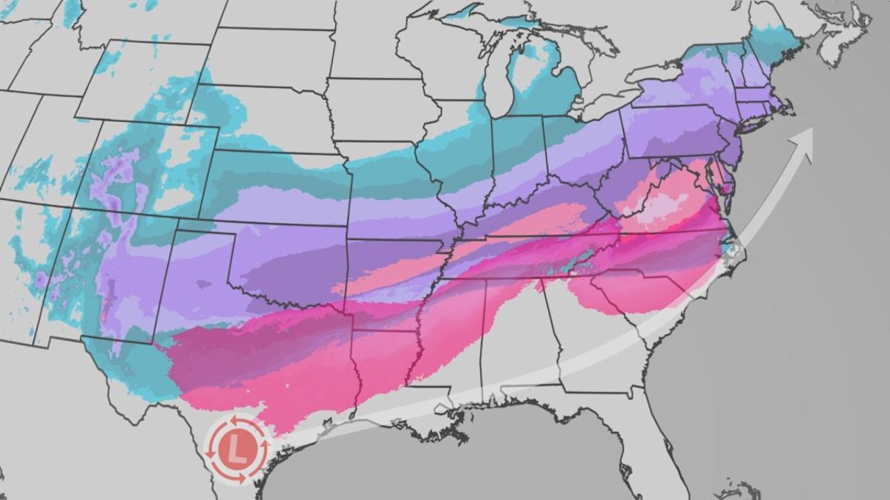
While winter dominates much of the country, a low-pressure system and cold front will bring showers and thunderstorms to parts of the interior Southeast by late Friday, then shift toward the East Coast and Gulf Coast on Saturday.
Some storms could produce locally heavy rain, adding to the overall weather complexity.
Temperature contrast remains extreme nationwide
One of the most striking aspects of this pattern is the sharp temperature divide across the U.S.
Much above-average temperatures are expected across:
- The Interior West
- The Plains
- Much of the South
Forecast highs include:
- 40s and 50s in the Interior West
- 50s and 60s across the High Plains, central Plains, and Southeast
- 70s and 80s in Texas and along the Gulf Coast
Some locations in eastern Texas could challenge record highs well into the 80s on Friday.
Cold air holds firm in the Midwest and Northeast
In stark contrast, below-average temperatures will continue across:
- The Midwest
- The Great Lakes
- The Northeast
Behind a cold front and beneath persistent upper-level troughing, forecast highs will generally remain:
- Teens and 20s across the Great Lakes and New England
- 30s and 40s from the Middle Mississippi Valley through the Ohio Valley and Mid-Atlantic
These colder conditions will help sustain lake-effect snow and keep winter hazards ongoing in the region.
West Coast temperatures closer to seasonal norms
Despite active storms, temperatures along the West Coast itself are expected to remain near average, with highs mostly in the 50s and 60s. However, cooler air aloft will still support mountain snow as systems move inland.
What residents should prepare for
With multiple hazards unfolding simultaneously, forecasters urge residents to stay alert:
- Avoid flood-prone areas, especially near burn scars
- Use caution on mountain roads and passes
- Be prepared for rapidly changing travel conditions
- Monitor local alerts for lake-effect snow warnings
- Watch for wind impacts and coastal flooding along the West Coast
This early-January pattern underscores how quickly winter weather can shift across the country.
Are you seeing heavy rain, snow, or unusually warm temperatures where you live? Share your local conditions in the comments and join the discussion as this active weather pattern continues to unfold.


