Atlanta, Georgia — After weeks of snow, Arctic cold, and record-breaking winter extremes, the La Niña-driven winter pattern is showing signs of pausing as January unfolds.
New long-range outlooks suggest that warmer-than-average temperatures and increased rainfall will dominate much of the Lower 48 during the first half of the month, replacing the cold and snowy conditions that defined late 2025.
Forecasters say this shift could significantly change how winter feels across large parts of the country — at least temporarily.
January outlook signals a notable pattern change
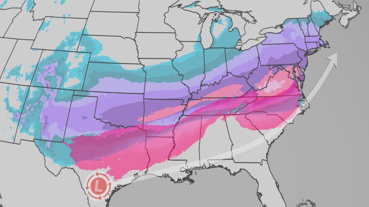
Weather models indicate that January’s first two weeks are likely to feature above-average temperatures and above-average precipitation for much of the United States. Instead of widespread snow and bitter cold, many regions are expected to see more rain events and milder air, even in areas that recently endured deep freezes.
This marks a clear pause in the La Niña winter setup that had previously fueled frequent snowstorms and repeated Arctic outbreaks.
Meteorologists emphasize that this is not the end of winter — but rather a temporary reset in the overall pattern.
A preview already played out in late December
The nation already saw a glimpse of this evolving setup in late December, when record warmth and historic rainfall spread across parts of the West, particularly California.
That same pattern — driven by changes in the jet stream — is now expected to persist and expand into January, delivering a steadier flow of Pacific storms into the western United States while allowing warmer air to surge eastward ahead of each system.
Jet stream shift driving warmer, wetter conditions
At the heart of this change is a more persistent dip in the jet stream across the Pacific and the western U.S. This configuration is funneling storm systems directly into the West Coast.
As those storms move inland, milder air is pulled north and east, raising temperatures across much of the Lower 48. The result is a stormy but less wintry pattern, especially compared to what the country experienced earlier this season.
Forecasters say this setup favors rain over snow in many lower-elevation areas.
First half of January looks mild for most regions
Current outlooks show:
- Warmer-than-average temperatures across most of the country
- Above-average precipitation for large portions of the West, Plains, and East
- Fewer widespread Arctic outbreaks compared to November and December
This does not eliminate winter hazards altogether, but it does reduce the likelihood of prolonged sub-zero cold and widespread snowstorms during the early part of the month.
Read Also: Bay Area King Tides Return for New Year 2026 as Coastal Flood Advisory Takes Effect
A sharp contrast to early winter extremes
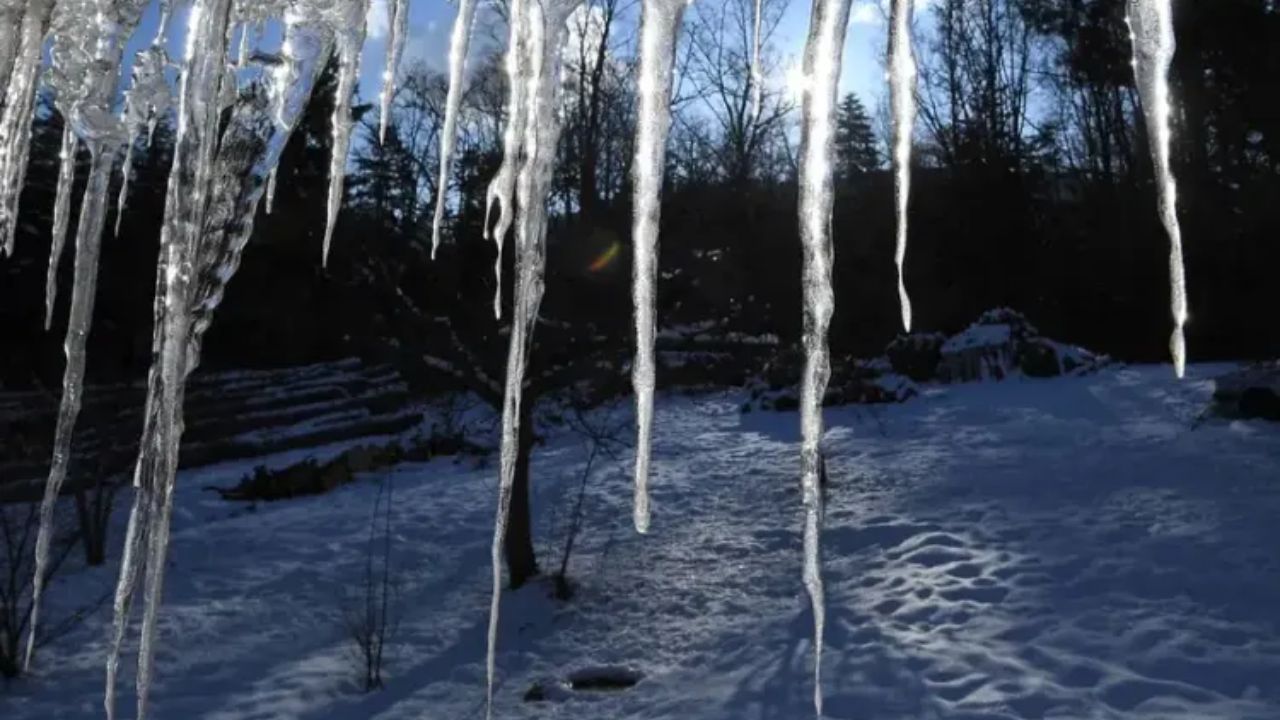
The pause in La Niña conditions comes after an exceptionally active start to winter.
Earlier in the season:
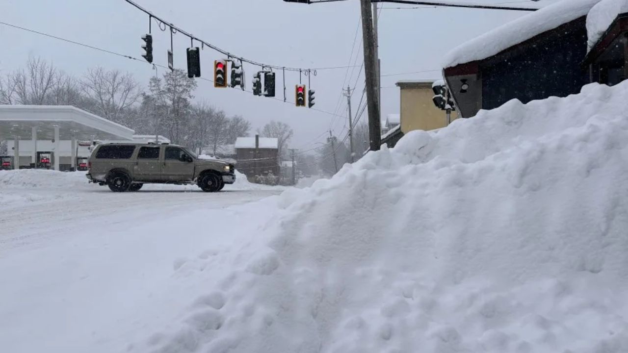
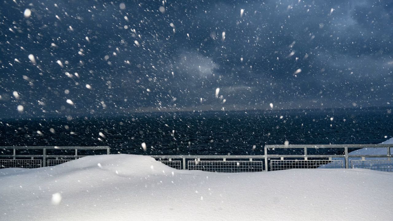
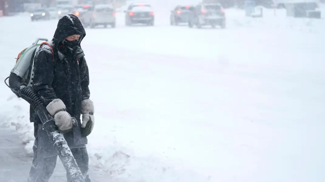
- Above-average snowfall blanketed parts of the Midwest and Northeast
- Syracuse, New York, recorded its second-snowiest December day ever on Dec. 30
- The city has already logged more than 78 inches of snow during the 2025–26 winter season
In addition to snow, Arctic air pushed unusually far south.
Arctic cold reached deep into the South
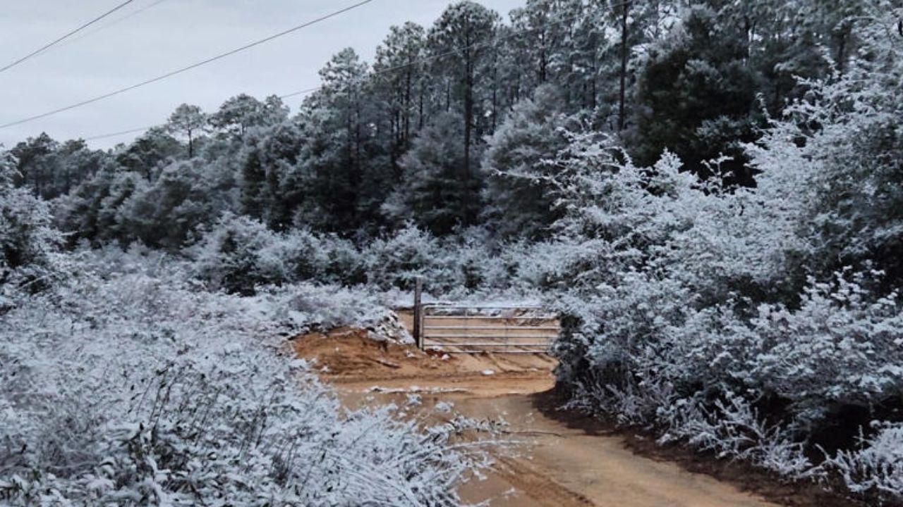
In early November, cold air surged as far south as Florida, where temperatures dropped into the 40s, leading to cold-stunned iguanas falling from trees — a phenomenon that highlighted how extreme the early winter pattern had become.
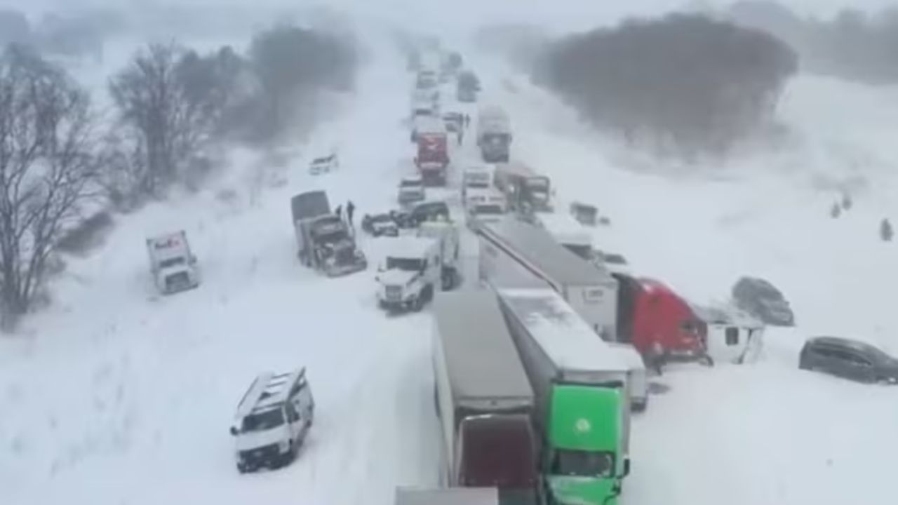
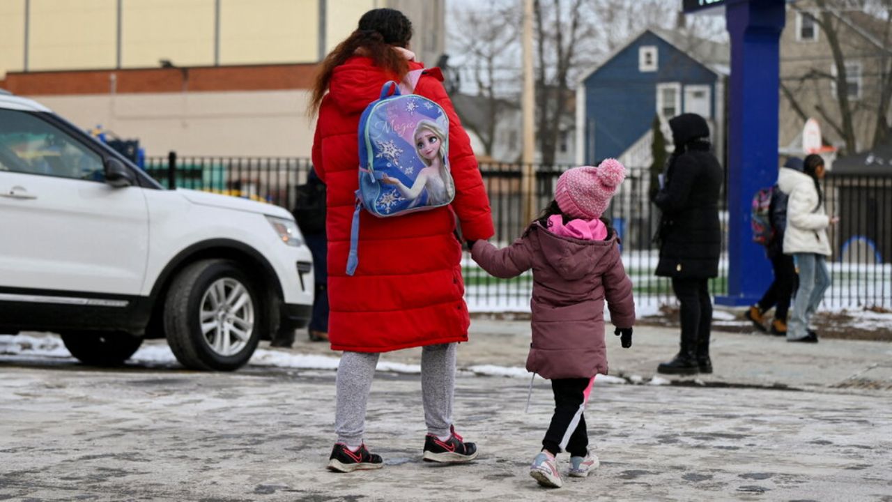
By early December, additional Arctic blasts brought below-zero wind chills to large parts of the country, disrupting travel, schools, and daily life.
That kind of cold is notably absent from the January outlook — at least for now.
How long will the warmer pattern last?
One of the biggest questions forecasters are watching is duration.
While confidence is relatively high that the first two weeks of January will remain warmer and wetter, outlooks become more uncertain beyond that point. There is a possibility that conditions trend back toward near-average, with a chance that La Niña influences re-emerge later in the month.
If that happens:
- The Midwest and Northeast could return to below-average temperatures
- Snow chances could increase again in traditional winter regions
West may stay warm even if La Niña returns
Even if colder air returns to parts of the country, the western U.S. may remain warmer than average, a concern for water managers and ski resorts.
After a record-warm December, the Rockies are already lagging in snowpack, and continued warmth could deepen that deficit. Forecasters warn that a lack of sustained cold could limit snow accumulation in mountain regions that rely on winter storms for long-term water supply.
Winter outcome still uncertain
Meteorologists stress that January does not define the entire winter. February and March can still bring dramatic shifts, including renewed cold or major snow events.
Whether this warmer, wetter pattern is a short-lived interruption or a sign of how the rest of winter will unfold remains uncertain.
For now, January is shaping up to feel less harsh, more active, and noticeably different from the winter that dominated headlines just weeks ago.
Do you prefer this milder winter pause, or are you hoping for snow and cold to return? Share your thoughts in the comments and join the discussion as winter 2026 continues to evolve.


