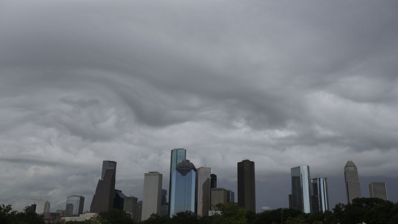
Houston, TX – Southeast Texas is in for a mostly dry beginning to the week, though residents should still keep an umbrella nearby. While the majority of the area will stay dry through Monday, isolated showers may pop up between 3:00 and 6:00 p.m. today.
Temperatures are expected to reach the mid-90s, with heat indices climbing to near 100°F. If you’re spending time outdoors, be sure to stay hydrated and avoid strenuous activity during peak afternoon hours. Monday’s forecast mirrors Sunday’s conditions with minimal rain chances.
Afternoon Storms Return Midweek
Starting Tuesday, afternoon thunderstorms are expected to make a return across the region. This will mark a shift back to the summer pattern that Houstonians have grown accustomed to. Wednesday is shaping up to be the most active day, with increased storm development expected in the afternoon and evening hours.
The uptick in rain chances could bring some relief to dry lawns and gardens, but could also lead to brief flooding in low-lying areas if cells linger too long. Commuters should be aware of possible reduced visibility and wet roads midweek.
Eyes on the Tropics: Tropical Storm Fernand and More
The 2025 Atlantic hurricane season has now produced its sixth named storm. Tropical Storm Fernand, which formed Saturday evening, is maintaining tropical storm strength as it travels northward across the Atlantic.
Though it’s not expected to affect Texas directly, Fernand will bring high swells to Bermuda and coastal Canada, potentially disrupting shipping and marine activity in those regions.
Meanwhile, a second tropical wave approaching the Windward Islands has a 40% chance of developing this week. Although it’s expected to move westward into the Caribbean, strong wind shear may prevent it from strengthening. Most forecast models currently suggest the system will dissipate in the central Caribbean, but if it holds circulation, there’s a chance it could drift into the Gulf of Mexico. Meteorologists will continue to monitor it closely.
Extended Forecast for Houston
Looking ahead, rain chances increase midweek as moisture from the Gulf flows inland. Despite the return of afternoon storms, daytime highs are expected to stay in the low to mid-90s. Monday stands out as the hottest day of the week, before conditions cool slightly with the incoming rain as reported.
Here’s a snapshot of the coming days:
- Monday: Mostly dry, isolated shower possible, high near 95°F
- Tuesday: Hot and humid with scattered afternoon storms
- Wednesday: Highest chance of thunderstorms, possible localized flooding
- Thursday: Continued scattered showers, highs in low 90s
- Friday: Decreasing rain chances, warm and humid
Stay Weather-Smart During Community Events
As school resumes and late-summer community events like farmers markets, outdoor movie nights, and youth sports continue across the Houston area, residents are urged to plan accordingly. Keep weather apps updated, bring shade and water when outdoors, and stay alert to fast-moving storms. Public safety officials remind parents and coaches to monitor for lightning and to have indoor shelter plans during outdoor activities.
What’s your weather plan this week? Let us know in the comments below!


