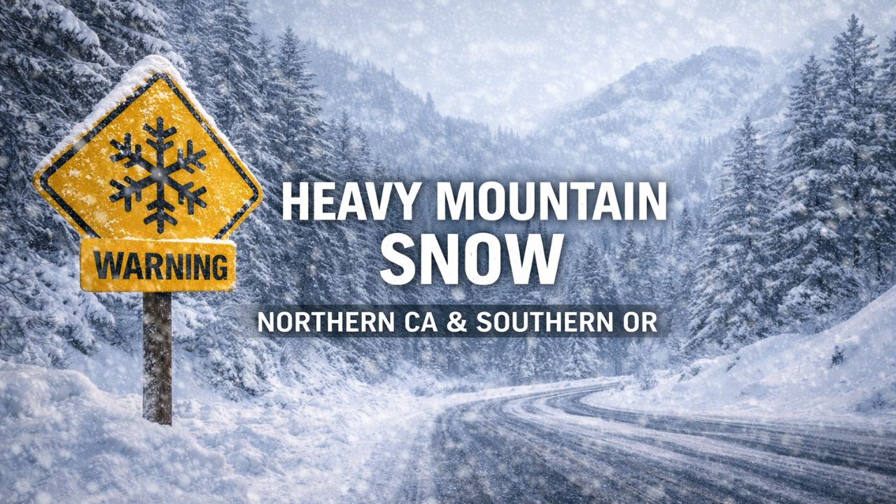
Medford, Oregon — A return to active winter weather is expected across southern Oregon and northern California as two storm systems move through the region from Thursday through Sunday, bringing a combination of rain, gusty winds, and heavy mountain snow. Forecasters warn that conditions could become hazardous in higher elevations, particularly from Saturday afternoon into Sunday.
According to the National Weather Service office in Medford, the evolving pattern will bring changing conditions almost daily, with the most significant impacts expected over the weekend.
Storm systems line up for a multi-day impact
The first storm system is already influencing the region, delivering light rain and relatively high snow levels through Thursday night. Snow levels during this initial phase are expected to remain elevated, keeping most valley locations wet rather than snowy.
By Friday morning, forecasters expect a brief break, with mostly dry conditions developing across many areas. However, this lull will be short-lived, as a more dynamic weather setup quickly takes shape heading into the weekend.
Gusty winds develop late Friday
By late Friday, conditions will begin to deteriorate again as strong southerly winds develop across multiple regions.
The National Weather Service says the strongest winds are expected in:
- The Shasta Valley
- Coastal areas
- Mountain regions of southern Oregon and northern California
As winds increase Friday evening and overnight, rain and higher-elevation snow will also begin to spread back into the region, signaling the arrival of a more powerful system.
Stronger storm arrives Saturday
A more intense storm system is forecast to arrive on Saturday, bringing the highest risk for hazardous travel and winter impacts, especially in mountainous areas.
Forecasters have issued a Winter Storm Watch for elevations above 5,000 feet in western and southern Siskiyou County, where heavy mountain snow is possible from Saturday afternoon through Sunday evening.
Key detail: Travel through higher elevations could become dangerous as snowfall intensifies and visibility drops.
Snow levels drop through the weekend
Snow levels are expected to fall steadily as colder air moves into the region, increasing the risk of snow impacting mountain passes.
Current projections show:
- Saturday: Snow levels near 6,000 feet
- Saturday evening: Dropping to 5,000–5,500 feet
- Sunday night: Potentially as low as 4,500–5,000 feet
These falling snow levels could impact key travel routes through the Cascades and Siskiyou Mountains, increasing the risk of chain controls, delays, or closures.
Heavy snow concerns in mountain communities
Mountain communities in northern California and southern Oregon could see prolonged periods of snowfall during the peak of the storm. Forecasters warn that snowfall rates could be high enough at times to overwhelm road crews, particularly Saturday night into early Sunday.
While exact snowfall totals remain uncertain, the combination of lowering snow levels and persistent precipitation raises concern for significant accumulations at higher elevations.
Residents in snow-prone areas are urged to prepare for:
- Difficult or impossible travel
- Power disruptions
- Rapidly changing road conditions
High Wind Watches issued for multiple areas
In addition to snow, strong and potentially damaging winds are expected as the storm system strengthens.
The National Weather Service has issued High Wind Watches for:
- Parts of the Shasta Valley
- Portions of the Curry County coast
The strongest wind gusts are expected to develop Saturday into Saturday night, with conditions capable of making travel difficult for high-profile vehicles and potentially causing downed trees or power lines.
Rain and runoff concerns continue into Sunday
Rain and mountain snow are expected to persist into Sunday as a low-pressure system moves fully into the region. While snow will dominate higher elevations, lower elevations will continue to see periods of rain, raising concerns about runoff and drainage issues.
The National Weather Service warns that:
- Urban areas could experience roadway ponding
- Creeks and streams may see elevated flows
- Localized minor flooding is possible in parts of Siskiyou, Curry, and southern Josephine counties
Officials stress that even moderate rainfall can cause problems when combined with saturated ground conditions.
Read Also: Bay Area King Tides Return for New Year 2026 as Coastal Flood Advisory Takes Effect
Travel impacts likely this weekend
With snow, wind, and rain all in play, travel across the region could be challenging at times this weekend — especially for those crossing mountain passes or traveling during nighttime hours.
Drivers are urged to:
- Check road conditions before traveling
- Carry winter emergency supplies
- Be prepared for sudden changes in weather
- Allow extra time for travel through higher elevations
Even brief improvements in conditions could be followed quickly by worsening weather as storm bands rotate through.
What residents should do now
Emergency officials and forecasters are urging residents to monitor updated forecasts closely as the weekend approaches. Winter storm details can change quickly, particularly with snow levels and wind strength.
Those with weekend travel plans — especially through mountain areas — should consider adjusting schedules or preparing alternative routes in case conditions deteriorate.
Active winter pattern continues
This upcoming system is part of a broader active winter pattern expected to continue into early January, meaning additional storms are likely in the days ahead.
While this weekend’s weather could bring challenges, it will also contribute to much-needed mountain snowpack across northern California and southern Oregon.
Have you already started preparing for winter travel this weekend, or are you planning to stay put? Share how conditions look in your area in the comments, and help others stay informed as this storm system moves in.


