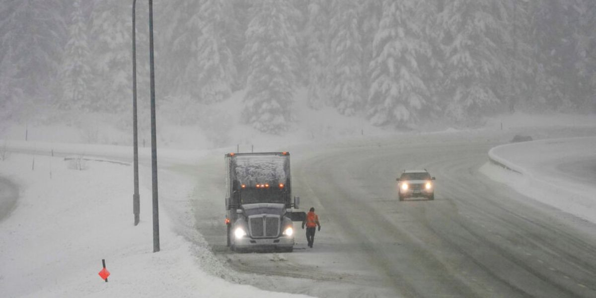
Green Bay, Wis. – Residents in Green Bay are dealing with hazardous road conditions after a mix of snow, sleet, and freezing rain moved through over the weekend. Authorities warn that travelers should remain cautious, especially during the Monday morning commute, as roads remain ice- and snow-covered in many locations.
Overnight Travel Hazards
Meteorologists report that while the snow and freezing precipitation is tapering off this evening, roads will continue to be slippery overnight. Drivers are urged to allow extra time and exercise caution, as untreated surfaces can remain treacherous through early Monday.
Even after the initial system passes, lingering ice patches and packed snow are likely on secondary roads, bridges, and overpasses. Local transportation departments have been actively spreading salt and sanding heavily traveled routes, but untreated areas can still present dangers.
Monday Forecast: Cloudy and Cold
Monday is expected to remain mainly cloudy, with high temperatures in the low to mid-30s. While no significant snow is forecast during the day, temperatures hovering near freezing will keep residual ice patches on roads and sidewalks, making travel potentially hazardous, particularly in shaded areas.
Another Round of Wintry Precipitation Monday Night into Tuesday
A new band of rain and freezing rain is expected to move into Green Bay Monday night through Tuesday morning, posing additional hazards for the Tuesday morning commute.
Forecasters indicate that while warmer temperatures will gradually change most precipitation to rain, some wintry mix — including snow or sleet — may linger as the system wraps up around midday Tuesday. Residents are advised to monitor forecasts closely, as the mix could create a glaze of ice up to a tenth or two, which could significantly impact travel.
Midweek: Quiet Weather Returns

After Tuesday’s system moves out, Green Bay is expected to see a brief period of calm weather. Wednesday and Thursday should be mostly quiet, with highs climbing into the mid to upper 30s under mostly cloudy skies. While no major storms are currently expected, motorists should remain cautious on lingering icy surfaces early in the week.
Looking Ahead: Potential Friday System
Forecasters are keeping an eye on a possible system Friday, though current model guidance disagrees on precipitation type, making it too early to issue definitive forecasts. Residents should check for updates later this week to determine if another round of snow, freezing rain, or rain could impact the weekend.
Authorities encourage residents to remain vigilant, monitor local weather updates, and adjust travel plans as conditions evolve.
How are you preparing for the slick roads and wintry weather in Green Bay this week? Are you adjusting your morning commute or weekend plans in response to ice and snow hazards?
Share your experiences and safety tips in the comments to help the community navigate treacherous winter roads safely.


