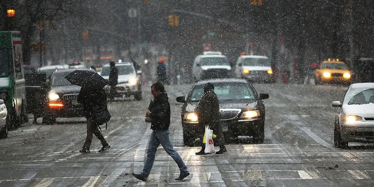
Detroit, Michigan – A 4Warn Weather Alert has been issued for Southeastern Michigan as hazardous winter weather is expected to impact the region during the first part of Friday, potentially creating dangerous travel conditions amid the ongoing holiday week.
Meteorologists are warning residents to prepare for freezing rain, ice accumulation, and slick roadways, especially during the morning and early afternoon hours.
Winter Weather Advisory in Effect Across the Region
The National Weather Service has placed all of Southeastern Michigan under a Winter Weather Advisory from 5:00 a.m. Friday until 4:00 p.m. Friday. Forecasters say a wintry mix of precipitation is expected, with freezing rain being the primary concern early in the day.
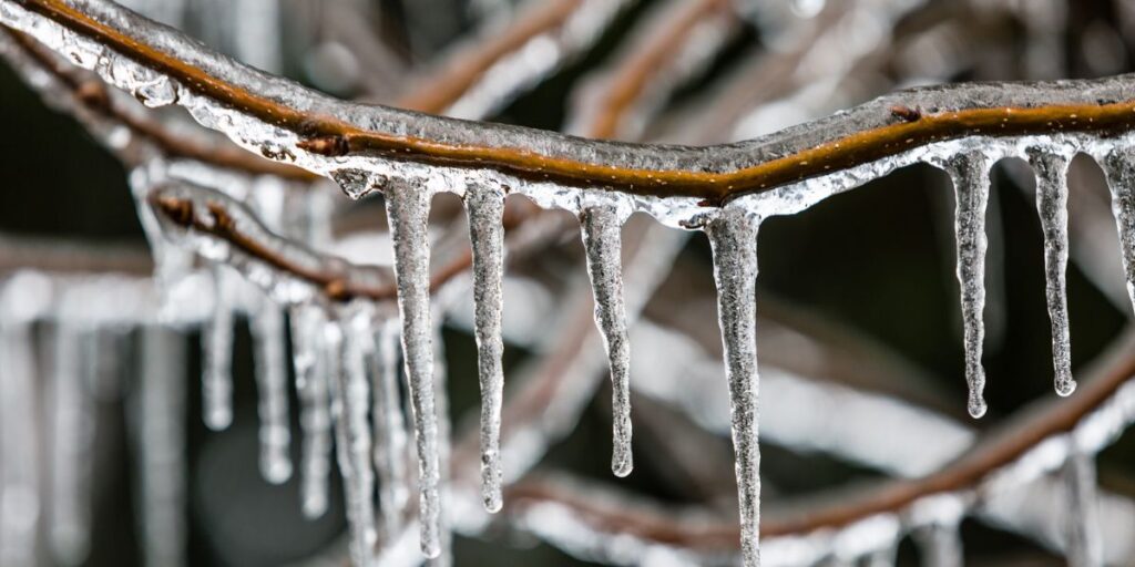
This setup is likely to result in ice accumulation, which can make untreated roads, sidewalks, and bridges extremely slippery. Officials caution that even small amounts of ice can significantly increase the risk of crashes and falls.
Freezing Rain Expected to Disrupt Friday Morning Travel
Weather experts say the most dangerous conditions are expected during the morning through early afternoon on Friday. As precipitation spreads into the area, surface temperatures are forecast to hover near freezing, allowing rain to freeze on contact.
Current projections indicate that much of the region could see 0.10 to 0.20 inches of ice accumulation through early Friday afternoon. While these numbers may seem minor, they are more than enough to cause slick and icy roads, particularly during peak travel hours.
Because of this threat, a 4Warn Weather Alert has officially been declared for Friday morning into early Friday afternoon. Here is the detailed forecast –
- Thursday Night (Christmas Night): Skies will be mostly cloudy, with overnight lows dipping to around 28 degrees as colder air settles into the region.
- Friday: Cloudy conditions will dominate. Freezing rain is likely during the morning and early afternoon before transitioning to a few rain showers later in the day. Ice accumulation remains possible, and highs will reach near 35 degrees.
- Friday Night: Mostly cloudy skies continue, with temperatures falling back to around 29 degrees.
- Saturday: Clouds linger, but conditions improve slightly. Highs will climb to about 37 degrees, marking a modest warm-up.
- Saturday Night: Mostly cloudy with overnight lows near 30 degrees.
- Sunday: Cloudy skies persist, and rain is likely throughout the day. Temperatures will rise to around 48 degrees.
- Sunday Night: Rain showers are expected to transition to a wintry mix, then possibly snow showers as colder air moves in. Overnight lows fall to about 28 degrees.
- Monday: Cloudy and much colder. Snow showers and possible snow squalls are forecast, accompanied by breezy winds. High temperatures will struggle to reach 33 degrees.
Why Ice Is the Main Concern
Meteorologists explain that a low-pressure system moving south of the region on Friday, combined with a warm front lifting north, will keep Southeastern Michigan on the colder side of the system. This setup favors freezing rain rather than snow.
As precipitation moves in along the front, temperatures in the lower 30s will allow rain to freeze on contact, creating a glaze of ice on surfaces. Travel impacts are expected to ease later Friday afternoon once the system moves east.
Colder Air and Snow Chances Ahead
After the system exits Friday evening, cloud cover will linger into Saturday, with temperatures dropping into the upper 20s Friday night before rebounding slightly over the weekend.
By Sunday night into Monday, a northwesterly flow will develop, setting the stage for lake-effect snow showers and snow squalls, along with gusty winds. Daytime highs early next week will remain in the lower 30s.
Looking Toward New Year’s Eve and Early 2026
Forecasters say additional snow chances return by New Year’s Eve (Wednesday) as several disturbances move through the region. High temperatures are expected to stay in the mid to upper 20s. Snow shower chances may continue into Thursday, marking the start of 2026, with highs remaining in the 20s to lower 30s.
How are you preparing for freezing rain and icy roads this weekend? Do you plan to adjust your holiday travel plans due to the Winter Weather Advisory? Share your thoughts and weather experiences in the comments below.


