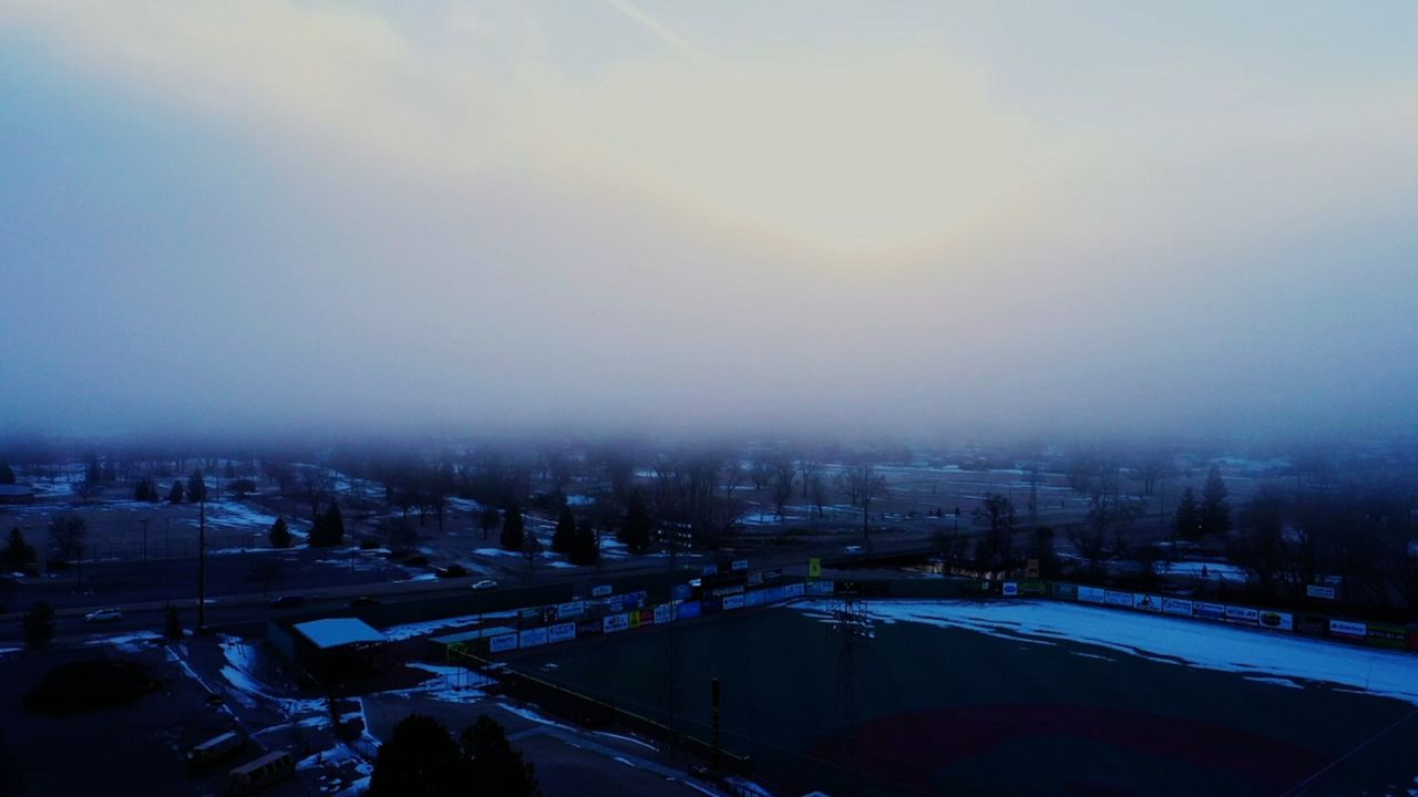
Rapid City, SD — Residents across Rapid City should be prepared for another round of fog tonight, according to local weather officials. Visibility may dip in certain neighborhoods, but forecasters expect conditions to improve by the time most people begin their Wednesday morning commute.
Drivers heading out early are urged to use low beams or fog lights, as high beams can worsen glare and make visibility even poorer.
Overnight temperatures will fall into the upper 30s, but the region is expected to stay safely above freezing, preventing issues like frost or ice buildup. Skies will remain partly cloudy, setting the stage for brighter conditions tomorrow.
Mild and Partly Sunny Wednesday Ahead
By Wednesday afternoon, Rapid City will enjoy partly sunny skies with temperatures rising into the upper 50s. This mild stretch continues the calmer, more seasonable pattern that has settled over western South Dakota this week.
While morning fog may start the day on a dreary note, forecasters say the overall weather theme will be “comfortable and calm,” offering a pleasant midweek break.
More 50s Expected Thursday and Friday
On Thursday, highs will settle into the lower 50s, accompanied by returning sunshine. The sunny and stable weather looks to carry through Friday, with temperatures again topping out in the upper 50s to close the workweek.
This consistent pattern offers Rapid City residents several days of reliable outdoor-friendly weather — a welcome change during a season known for abrupt shifts.
Weekend Outlook: Mostly Sunny and Mild
The upcoming weekend is shaping up to be another winner. Forecasters anticipate mid to upper 50s on both Saturday and Sunday, along with mostly sunny skies.
Whether residents are tackling yardwork, attending events, or simply enjoying the final stretch of fall warmth, conditions are expected to cooperate beautifully.
Monday Warms Up Before a Major Cold Front Arrives
By Monday, temperatures in Rapid City are projected to climb past the 60-degree mark, giving the city one last burst of late-fall warmth. However, this warm-up will be short-lived.
A significant cold front is expected to sweep into the region soon after, bringing an abrupt and noticeable drop in temperatures.
Tuesday Turns Much Colder
The effects of the incoming cold front will be felt by Tuesday, when high temperatures tumble into the mid-40s. While no major precipitation has been confirmed yet, colder air settling into the region signals a shift toward a more winter-like pattern as Thanksgiving approaches.
Meteorologists advise residents to enjoy the stretch of mild weather while it lasts — Rapid City’s roller-coaster climate is preparing its next plunge.
What kind of weather do you prefer — foggy mornings, sunny weekends, or crisp cold fronts? Drop your thoughts or local updates in the comments!


