Detroit, Michigan – Residents across Detroit and Southeast Michigan are in for a roller-coaster stretch of winter weather, as snow chances, dangerous cold, and subzero wind chills give way to a noticeable warm-up next week.
Meteorologists say the forecast will keep conditions unsettled through the weekend, with frigid mornings, occasional snow, and then a sharp temperature rebound by midweek.
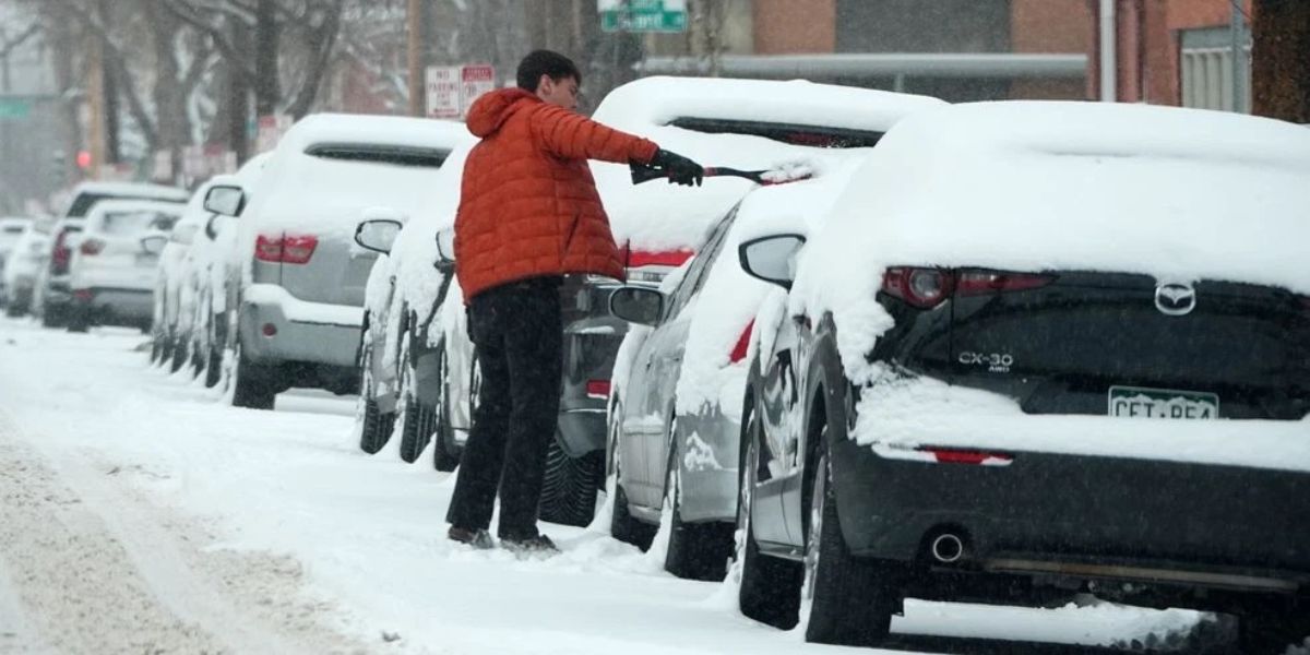
Cloudy and Cold Conditions Linger Into Friday
After a cold Thursday that featured occasional snowflakes, cloud cover remained stubbornly in place overnight and into early Friday morning. While dry conditions dominated much of the daytime period, forecasters warned that another round of snow could move into the Detroit area late Friday evening.
Temperatures continue trending colder to close out the workweek. Highs on Friday are expected to reach only the upper 20s, reinforcing the grip of winter across the region. Though snowfall amounts are expected to remain light, any snow could create slick road conditions during evening travel.
Snow Chances and Falling Temperatures Headline the Weekend
By Friday night into Saturday, snow chances return to the forecast as colder air settles firmly over the region. Meteorologists say Saturday will bring cloudy skies with a chance of snow, keeping daytime temperatures suppressed.
- Saturday high: 25°
- Saturday night low: 5°
The real concern arrives overnight. With temperatures plunging into the single digits, wind chill values could drop to -10° to -15°, making it feel dangerously cold for anyone outdoors. Officials urge residents to limit exposure, dress in layers, and ensure pets are kept inside.
Bitter Cold Mornings Expected Sunday and Monday
The coldest stretch of the forecast appears to arrive late Saturday night into Sunday morning, and again Sunday night into Monday morning. Forecast models suggest overnight lows could fall into the single digits, setting the stage for below-zero wind chills across parts of Metro Detroit.
Some areas could experience wind chills as low as -10° to -15°, raising concerns for frostbite in a matter of minutes. Anyone heading out early should prepare for extreme cold conditions.
Despite the cold start, Sunday will offer a small break from the gloom.
- Sunday: Partly cloudy, high near 21°
- Sunday night: Low around 8°
Brief Sunshine Before Clouds Return
By the end of the weekend on Sunday, Detroit will finally see some sunshine, offering a brief morale boost after several gray days. However, that sunshine won’t last long.
Clouds increase again as the region heads into Monday and Tuesday, with mostly cloudy skies expected both days. The good news? Temperatures will begin to climb.
Warming Trend Begins Early Next Week
As the new workweek begins, temperatures gradually rebound:
- Monday: Highs in the mid-20s
- Tuesday: Highs rising into the upper 20s to lower 30s
While skies remain mostly cloudy, the warming trend will be noticeable compared to the weekend’s bitter cold.
Rain Replaces Snow by Midweek
By Wednesday, Detroit’s winter pattern takes a dramatic turn. Meteorologists say rain showers could develop by Wednesday afternoon and evening, signaling a shift away from snow.
High temperatures are expected to climb into the mid to upper 30s, a significant jump from the weekend lows. That warming trend continues into Thursday, when rain chances persist and temperatures surge even higher.
- Wednesday high: Mid to upper 30s
- Thursday high: Lower 40s
While the warmer air will be welcome, rain combined with melting snow could lead to wet roadways and minor flooding in low-lying areas.
7-Day Outlook Snapshot
- Saturday: Cloudy, chance of snow. High: 25°
- Saturday Night: Mostly cloudy, bitter cold. Low: 5°, wind chills -10° to -15°
- Sunday: Partly cloudy. High: 21°
- Sunday Night: Partly cloudy. Low: 8°
- Monday–Tuesday: Mostly cloudy, gradual warming
- Wednesday–Thursday: Rain chances, temperatures climbing into the 40s
How are you preparing for the dangerous cold and wind chills this weekend—and are you ready for the sudden warm-up next week?
Share your thoughts and weather tips in the comments, and let us know how winter conditions are affecting your plans across Detroit and Metro Michigan.


