Albuquerque, NM — A cold front moving across New Mexico Tuesday night will bring cooler and drier weather by Wednesday, followed by a surge of Pacific moisture later in the week that could deliver widespread rainfall through the weekend.
Storms Move Through Ahead of Front
Showers and thunderstorms developed across southern and northeastern New Mexico Tuesday, fueled by the approaching front. Rain is expected to spread into southeast New Mexico overnight, before tapering off by Wednesday morning.
Behind the front, temperatures are dropping across the northeast, while other parts of the state are holding onto warmer weather.
According to Yahoo News, the cold front will also bring gusty east canyon winds into the Rio Grande Valley overnight, before easing by morning.
Cooler and Drier Midweek
By Wednesday, high temperatures across much of New Mexico will run up to 10 degrees cooler than earlier this week. Drier air will filter in, limiting rain chances mainly to the Gila region.
Thursday will remain mostly dry, but temperatures will begin a warming trend that will continue into Friday.
Pacific Storm to Fuel Weekend Rains
A large Pacific low-pressure system is expected to move into California Friday, drawing up monsoon moisture across the Southwest. This will bring storm chances back to New Mexico late Friday, especially in southern and western parts of the state.
Forecasters say the system will remain nearly stationary, pulling in additional moisture through the weekend and into Monday. The setup will create much higher chances for showers and thunderstorms along with below-average temperatures.
“The heaviest rain during this four-day period will likely fall in southern and western New Mexico, where over one inch of rain is expected,” meteorologists reported.
What to Expect
Residents across New Mexico should prepare for changing conditions over the next several days:
- Wednesday–Thursday: Cooler, drier weather with highs up to 10º below recent levels.
- Friday: Warmer but increasing storm chances, especially in the south and west.
- Weekend–Monday: Widespread rain and thunderstorms, heaviest in southern and western areas.
- Rainfall totals: Over 1 inch likely in parts of southern and western New Mexico.
Looking Ahead
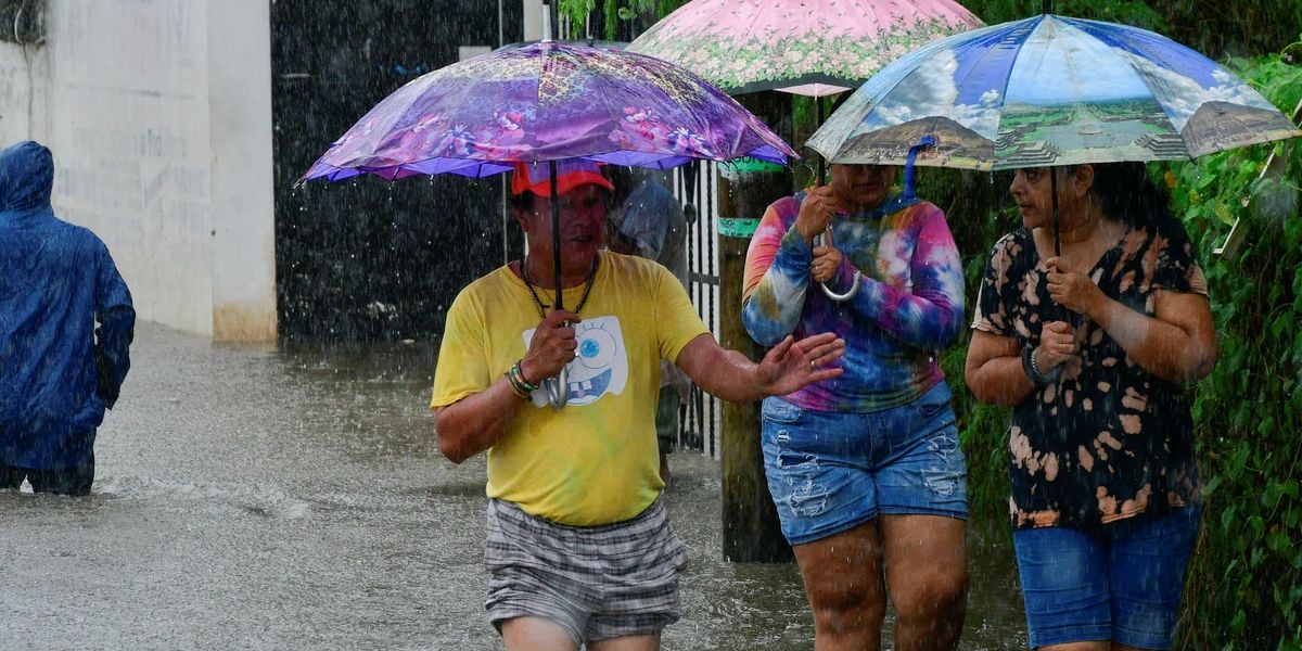
The return of monsoon moisture this weekend will bring a welcome break from recent hot, dry conditions, but it may also increase the risk of localized flooding, especially in burn scar areas. Officials advise residents to stay alert to changing forecasts and potential flood advisories as the Pacific storm influences the region.
What are your thoughts on the upcoming weather shift in New Mexico? Share your views in the comments below.

