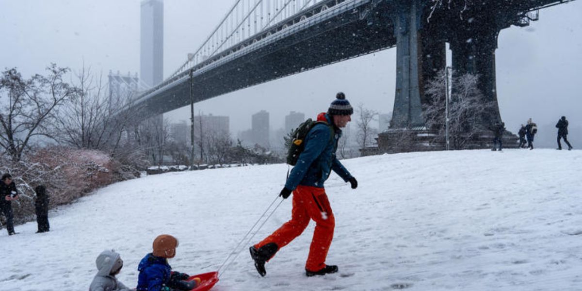
New York City, NY – As millions of people wrap up last-minute holiday shopping and prepare to travel, the Northeastern United States is bracing for another week of disruptive winter weather, including snow, rain, and dangerous ice. Meteorologists warn the timing could not be worse, with impacts expected to intensify just as Christmas and post-holiday travel peak.
Forecasters say the evolving weather pattern closely resembles systems that battered the region earlier this month, raising concerns about road conditions, flight delays, and travel safety.
Weather Pattern Setting the Stage for Repeated Storms
According to the FOX Forecast Center, a large ridge of high pressure settling over the central United States is forcing the jet stream into a configuration that favors repeated storm systems moving into the Northeast.
This setup increases the likelihood of fast-moving “clipper” systems, which are notorious for bringing quick bursts of snow, ice, and rain with little advance notice.
Meteorologists say this pattern could persist through the end of the holiday week, creating multiple rounds of wintry weather rather than a single storm event.
First Round Brings Snow to New York and New England
The first system arrived Monday evening and continued into Tuesday, as an area of low pressure moved out of southern Canada and strengthened over the Great Lakes.
In response, the National Weather Service (NWS) issued a Winter Weather Advisory through Tuesday evening for several parts of the region.
Forecasts called for up to 2 inches of snow in areas including Westchester County, New York, and Fairfield County, Connecticut. While snowfall tapered off in many locations, meteorologists cautioned that lingering snow showers could extend into Wednesday morning in some communities.
Heavier Snowfall Expected in Upstate New York and Northern New England
Conditions are expected to be far more severe farther north.
Parts of Upstate New York are forecast to receive 3 to 5 inches of snow, with similar totals expected across portions of New Hampshire and Maine.
Some areas have already been hit hard. Lee, New York, located in Oneida County, has reported 12 inches of snow over the past few days, with additional accumulation likely as new systems arrive.
The FOX Forecast Center also notes that Boston and Plymouth, Massachusetts, could see 1 to 2 inches of snow, enough to cause slick roads and reduced visibility during busy travel hours.
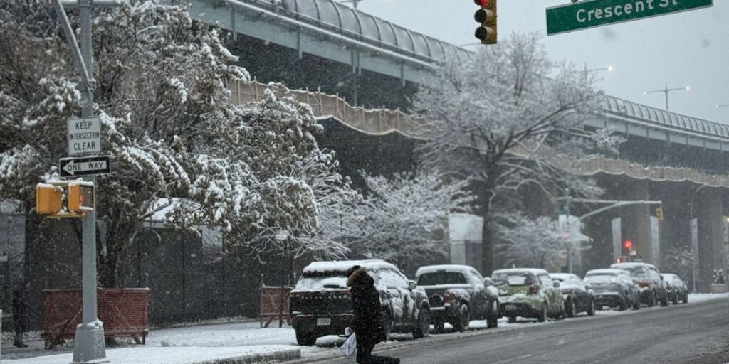
Ice Emerges as the Biggest Threat for Holiday Travelers
While snowfall totals are concerning, meteorologists say ice accumulation may pose the greatest danger heading into the weekend.
Forecast models predict that rain, snow, and freezing rain will arrive across much of the Northeast by Friday, lingering into Saturday.
Up to 0.10 inches of ice accumulation is possible in some areas, which may not sound significant but can be enough to create treacherous driving conditions, especially on untreated roads, bridges, and overpasses.
Officials warn that even light icing can lead to vehicle spinouts, crashes, and power outages, particularly when combined with gusty winds and fluctuating temperatures.
Travel Impacts Likely as Holiday Plans Accelerate
With millions expected to hit the roads and airports for Christmas and post-holiday travel, officials urge residents to monitor forecasts closely, allow extra travel time, and prepare for rapidly changing conditions.
Airlines, public transit agencies, and emergency responders across the Northeast are expected to remain on alert as the weather pattern evolves.
Meteorologists emphasize that this is not a one-and-done storm, but rather a series of weather events that could repeatedly disrupt travel through the end of the week.
Are you traveling through the Northeast this holiday week, or have you already been impacted by the snow and ice? Share your location, travel plans, and weather conditions in the comments below, and let others know what to expect.


