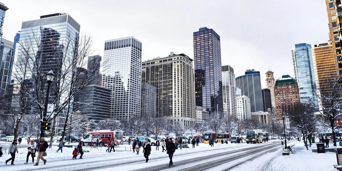
Chicago, IL – After a weekend of record-low temperatures and bitter wind chills, residents of Northeast Illinois and Northwest Indiana can expect gradually warmer weather heading into the week, though Monday will still remain cold and blustery. The frigid air that gripped the region is finally beginning to ease, but dangerously low wind chills remain a concern for anyone venturing outdoors.
Weekend Cold Grips the Region
On Sunday, O’Hare International Airport recorded a high of just 10 degrees, while many suburban areas remained in the single digits. Wind chills stayed below zero for much of the day across Northeast Illinois and only just reached slightly above zero in parts of Northwest Indiana. Officials warned that exposure to these temperatures could lead to frostbite in as little as 30 minutes.
Tonight Brings More Bitter Cold and Strong Winds
Tonight, skies will be mostly clear to partly cloudy, with overnight lows ranging from -5 to 5 degrees. As southwesterly winds increase to 10-20 mph, gusts up to 25 mph will drive wind chills down to -10 to -20, creating dangerously cold conditions. Experts caution that any exposed skin could experience frostbite in under 30 minutes, making winter gear essential for late-night travel or outdoor activity.
Monday Will Remain Cold but Partly Sunny
While a warmer weather pattern begins to establish itself, Monday will still be cold and windy, with highs only reaching the low to mid-20s. Gusty southwesterly winds may also cause blowing snow in areas that received fresh snowfall over the weekend, creating slick spots on roads and sidewalks. Residents are advised to exercise caution during the morning commute.
Temperatures Approach Seasonal Averages by Midweek
By Tuesday, highs in the mid to upper 30s will bring temperatures close to the average high for this time of December, 37 degrees. Partly cloudy skies are expected through Wednesday, with some areas possibly reaching 40 degrees on Wednesday afternoon. This marks a notable improvement from the single-digit highs over the weekend and allows for a slight respite from the bitter cold.
Thursday Brings Rain Before Cold Front Arrives
An incoming storm system will bring rain showers on Thursday, with temperatures rising into the mid to possibly upper 40s. However, as a cold front moves through late Thursday into Friday, any remaining rain showers will quickly transition to snow showers, and highs will fall back into the mid to upper 20s. This rapid temperature swing could result in icy spots and slippery road conditions, especially for morning commuters on Friday.
Weekend Outlook: Dry but Cool
Looking ahead, Saturday is expected to be mostly cloudy with highs in the lower 40s, while Sunday will be cooler, with highs dropping into the lower 30s and skies mostly sunny to partly cloudy. Overall, the weekend appears dry, giving residents a chance to enjoy outdoor activities with less risk of precipitation.
Summary
After a dangerously cold weekend in Northeast Illinois and Northwest Indiana, the region will see gradually warming temperatures, reaching the mid to upper 30s by midweek.
Residents should remain cautious during Monday’s cold, windy conditions and prepare for rain and snow showers as a cold front arrives Thursday night into Friday. The weekend brings dry skies, though temperatures will remain cool for December standards.
How Are You Preparing for the Changing Weather?
Will Monday’s cold affect your commute, or are you ready for the warmer midweek temperatures? Share your thoughts in the comments below.


