College Park, MD – A powerful winter storm is moving east from the Plains, unleashing a mix of snow, ice, rain, and strong winds across much of the United States, according to the National Weather Service (NWS). Meteorologists warn that the storm, driven by an intense cyclone, will bring sharply contrasting weather across the country, from blizzard conditions in the Upper Midwest to severe thunderstorms in the South.
Officials are urging residents to prepare for hazardous travel, dangerous wind chills, and abrupt temperature drops, as the storm continues to intensify.
Upper Midwest Faces Blizzard Conditions
Snow and gusty winds spread across the Upper Midwest on Sunday, prompting the NWS to issue warnings of whiteout and potential blizzard conditions, making travel extremely dangerous.
Snowfall totals are expected to exceed one foot (30 centimeters) in parts of the upper Great Lakes, with some areas along the south shore of Lake Superior possibly receiving up to 2 feet (60 centimeters) of snow.
Lake conditions are also severe. Waves on Lake Superior are forecast to reach 25 feet (7.6 meters) by Monday morning, with similarly towering waves projected across other Great Lakes.
“Since the infamous Edmund Fitzgerald storm in 1975, we’ve had zero major incidents on the lake,” said Ben Warren, a National Weather Service meteorologist in Marquette, Michigan.
The Edmund Fitzgerald tragedy, which claimed 29 lives on November 10, 1975, remains a stark reminder of the lake’s hazards during winter storms. Modern forecasts now provide more accurate warnings for mariners.
Dangerous Wind Chills Across Northern Plains
As frigid air moves south, North Dakota and Minnesota can expect wind chills as low as minus 30 degrees Fahrenheit (minus 34.4 Celsius) from Sunday night into Monday, making outdoor exposure extremely dangerous. Residents are advised to limit travel and take precautions to stay warm.
South Faces Sharp Cold Front and Thunderstorms
The storm’s impact is not limited to the North. In the South, forecasters are warning of severe thunderstorms ahead of a sharp cold front, sometimes referred to as a “Blue Norther”, which will abruptly end days of record warmth.
For example, Atlanta, Georgia, experienced a high of 72°F (22°C) on Sunday, following a record 78°F (26°C) on Christmas Eve, yet temperatures are expected to plummet to a low of 25°F (−3.9°C) by early Tuesday. Similarly, Dallas, Texas, may see temperatures drop from the lower 80s (27°C) on Sunday to the mid-40s (7°C) by Monday. Little Rock, Arkansas, will also see highs fall from around 70°F (21°C) to the mid-30s.
This rapid change results from a collision between frigid air plunging south from Canada and the unusually warm air lingering across the southern U.S., creating highly dynamic and potentially dangerous weather conditions.
Northeast and New England Prepare for Ice and Snow
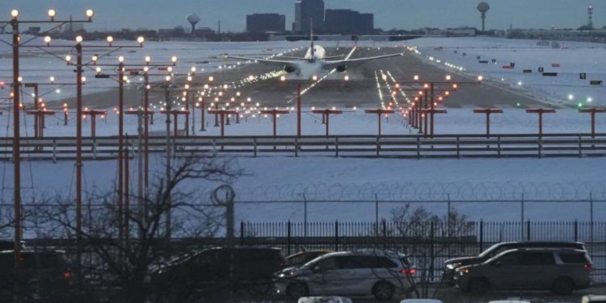
In addition to the Midwest and South, New England is expected to experience freezing rain, while portions of the Northeast face additional snowfall and strong winds. The storm’s eastern progression could impact holiday travel, adding to disruptions that have already caused thousands of flight delays and cancellations over the weekend.
Nationwide Impacts and Safety Warnings
The storm is expected to intensify as it moves east, producing:
- Heavy snow and blizzards in the Midwest and Great Lakes
- Freezing rain in New England
- Thunderstorms across the eastern U.S. and South
- Widespread strong winds across multiple regions
Authorities urge drivers, travellers, and residents to monitor local weather updates, avoid unnecessary travel, and prepare for rapidly changing conditions.
How is this major winter storm affecting your region? Are you preparing for snow, ice, or extreme cold, or taking extra precautions for holiday travel? Share your experiences and tips in the comments below and join the conversation.


