San Francisco, CA – After weeks of dry weather, Northern California is bracing for a series of storm systems that will bring heavy rain, high winds, and significant snow over the coming week. Forecasters warn that atmospheric river moisture will be a major factor, with multiple rounds of precipitation expected to impact the Valley, Foothills, and Sierra regions.
Weekend Weather: Sunday and Monday Impact Days
Sunday and Monday are designated as KCRA 3 Weather Impact Days due to expected wet and breezy conditions across the Sacramento and San Joaquin Valleys as well as the Foothills.
- Sierra Nevada: Mainly rain through Tuesday, though snow may begin at the summits overnight.
- Valleys and Foothills: Persistent rainfall with occasional heavy downpours, creating potential for street flooding in low-lying areas.
Christmas Week: Alert Days for Major Storm
Wednesday and Thursday have been flagged as Weather Alert Days due to a strong storm system expected to bring heavy rain, high winds, and heavy snow, which could significantly impact Christmas Eve and Christmas Day plans. While rain and snow will continue on Friday, it is expected to be of lighter intensity.
Rainfall Totals
Meteorologists are warning that Northern California could see historic rainfall totals over the week:
- Sierra Summits (e.g., Blue Canyon): Up to 20 inches of rain from Saturday night through Wednesday.
- Foothill Communities (Placerville, Nevada City, Sonora): Up to 12 inches of rain.
- Coastal Hills in Lake County: 8–10 inches of rain.
- Sacramento and San Joaquin Valleys: Up to 6 inches through Thursday.
The atmospheric river moisture is expected to be persistent and heavy, especially in hilly areas, leading to localized flooding concerns.
Flooding Risks
A Flood Watch will remain in effect from Saturday afternoon through Friday afternoon for all of Northern California. While most of the region’s rivers and reservoirs have capacity, street flooding is likely in areas with poor drainage.
- Creeks: Expected to rise Sunday and Monday, with flooding more likely Wednesday through Friday.
- Controlled rivers (lower American River, Yuba River, Feather River, Sacramento River): Not expected to flood.
- Cosumnes River: Minor flooding possible later in the week, though below historical levels seen near New Year’s Day.
- Tuolumne River (Modesto area): Water levels will rise toward the end of the week—residents should monitor conditions.
Authorities urge residents: Do not walk, ride, or drive through flooded roads.
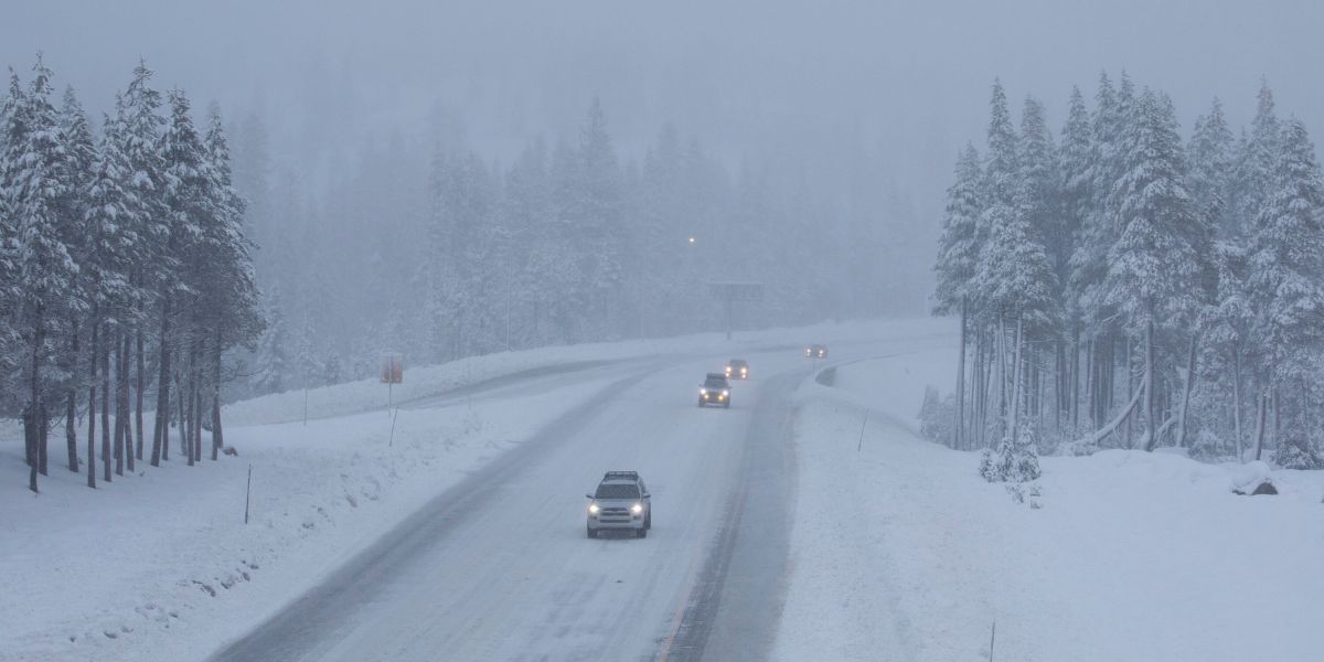
Snowfall Forecast
The Sierra Nevada finally has snow in the forecast, providing a long-needed boost to snowpack:
- Saturday to Monday: Snow levels will remain above the passes, though overnight summit snow is possible.
- Tuesday: Snow levels may drop to allow snow at the summits, though precipitation will be light.
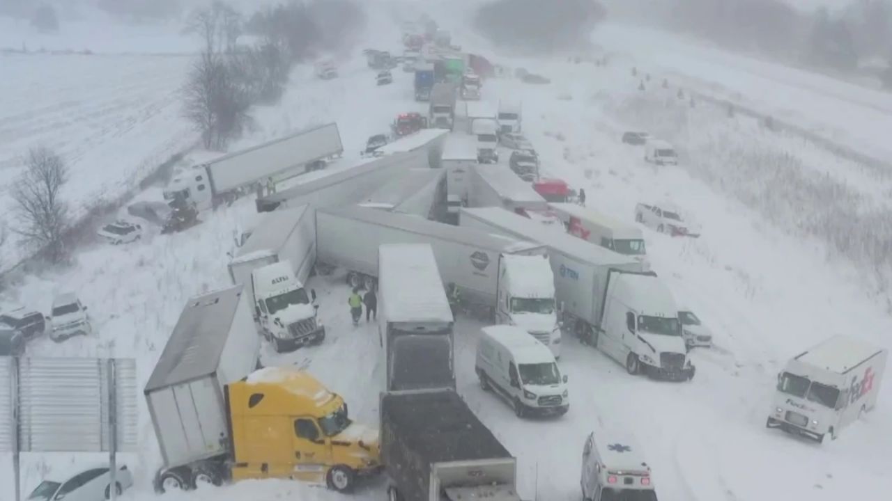
- Wednesday to Friday: Heavier snow expected; travel delays, chain controls, and possible closures are likely. Officials advise avoiding mountain travel during these days if possible.
Travel and Safety Advisory
With the combination of heavy rainfall, snow, and gusty winds, Northern California residents should plan accordingly:
- Avoid driving on flooded streets or low-lying areas.
- Monitor river and creek levels, particularly in the Foothills and Modesto areas.
- Prepare for mountain travel delays, especially Wednesday through Friday.
- Ensure emergency supplies are available in case of power outages or road closures.
Are you prepared for Northern California’s atmospheric river storms? How will you adjust holiday travel or outdoor plans in the Valley, Foothills, or Sierra regions?
Share your thoughts in the comments below and join the conversation.