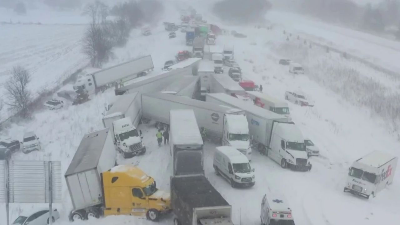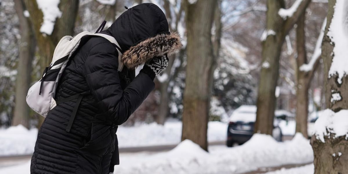
Charleston, WV — West Virginians are being urged to prepare for one final surge of Arctic cold this weekend, with forecasters warning of significant snowfall, frigid temperatures, and potentially hazardous travel before a major warm-up arrives heading into Christmas week.
Heavy Snow Expected Across Northern West Virginia
Meteorologists say a storm system tracking across the state from Saturday night into Sunday is likely to drop 3 to 6 inches of snow across the northern half of West Virginia, with even higher totals possible in a few localized areas.
According to Francis Kredensor, lead meteorologist at the National Weather Service, the incoming system appears to be “all snow”, with no indication of mixing.
Sunday’s temperatures will also plunge dramatically, with highs only reaching the mid-teens, a sharp 20-degree drop from the mid-30s expected on Saturday.
Two Alberta Clippers Driving the Weekend Cold
Chad Merrill, senior meteorologist with AccuWeather, explained that the region will be impacted by two separate Alberta clipper systems passing through Central West Virginia late this week and early this weekend.
“These clipper systems will open the door for some of the coldest air of the season, moving in Sunday into Monday,” Merrill said.
This surge of icy air marks the tail end of a pattern influenced by the polar vortex, which has kept temperatures across West Virginia well below average in recent days.
Big Warm-Up Coming: 40s and 50s on the Way
Despite this cold blast, both meteorologists agree that a major pattern shift is on the horizon.
By next Wednesday or Thursday, temperatures across much of West Virginia could rebound into the mid-40s to low-50s, Kredensor said. Even higher elevations—such as Pocahontas County and areas near Davis—will climb into the 30s.
The warming trend is expected to extend into Christmas week, with the southern two-thirds of the U.S. likely experiencing above-normal temperatures, according to Kredensor.
“From next weekend through Christmas, we should be trending much warmer overall,” he added.
Most of West Virginia May Lose Its Snowpack Before Christmas
With warmer air pushing in, many areas that currently have snow on the ground may not keep it.
According to Merrill, areas from Route 19 west, I-64 west and south, and toward the Ohio border will likely have no snow cover by Christmas Day.
However, higher elevations—particularly Pocahontas County, Randolph County, and sections of the Monongahela National Forest—could still maintain around an inch of snow through the holiday.
Another System Before the Weekend Storm
Before the major weekend event, Southern West Virginia will see a separate storm system Wednesday night into Thursday.
The Clarksburg area may see light snow with minor accumulation, but the heaviest snow from this midweek system is expected from Sutton southward along Interstate 79.
Drought Conditions and Early 2026 Outlook
Despite the frequent snowfall, the Eastern Panhandle remains under moderate to severe drought, a situation Merrill expects to persist through the month due to below-average precipitation.
Looking ahead, Merrill predicts that more winter-like conditions will likely return in early to mid-January 2026, bringing the state back into a more typical wintry pattern.
What Do You Think?
Will your area see a snowy weekend — or are you looking forward to the warmer Christmas week ahead? Share your thoughts, forecasts, and local conditions in the comments!