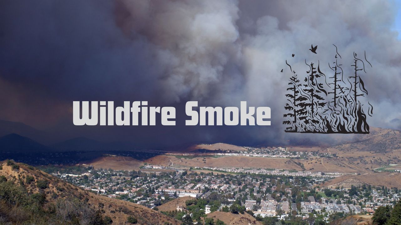
Green Bay, WI — Northern and central Wisconsin continue to battle poor air quality conditions as wildfire smoke lingers across the region. Forecasters say the Air Quality Alert, originally set to expire Sunday night, has now been extended through Monday at noon, with additional extensions likely through Tuesday morning.
Quiet Night, But Fog Possible by Morning
Tonight’s forecast calls for a fairly calm evening, with lows in the 50s to around 60. Aside from a few passing clouds, conditions should remain quiet overnight. However, meteorologists are warning of patchy fog in the early hours of Monday, particularly in low-lying areas.
Smoke, Hazy Skies, and Continued Health Concerns
The primary concern remains the persistent smoke due to ongoing wildfires across parts of Canada and the northern U.S. According to WFRV Local 5 Weather, the smoke is expected to hang over the region into Monday night, prompting further health concerns for sensitive groups.
“Our AIR QUALITY ALERT was extended until Monday at noon, and it is likely another extension is coming lasting through Tuesday morning,” the station reported. “Wildfire smoke will linger all day and into the overnight hours.”
Residents with respiratory conditions, the elderly, and young children are advised to limit outdoor activity and avoid strenuous exercise while the alert remains in effect.
Hazy Sunshine and Seasonal Temps to Start the Week
Despite the smoke, the beginning of the week will bring seasonable temperatures. After morning clouds and fog, skies should transition to hazy sunshine, with highs in the low to mid 80s both Monday and Tuesday.
“Tuesday should see the smoke start to thin out during the morning, leading to a better afternoon and evening,” forecasters added. “Otherwise, expect a mix of sun and clouds.”
This brief improvement may offer some relief before conditions potentially worsen again later in the week.
Rain Chances Increase Later in the Week
Looking ahead, Wednesday brings a small chance for afternoon rain, though the day should remain mostly dry with highs once again in the low to mid 80s.
By Thursday and Friday, both heat and humidity will be on the rise, with highs climbing into the mid to upper 80s. Dew points could reach near 70, making it feel even warmer and stickier.
“While there is an isolated storm chance Thursday and Friday, the main story is the return of heat and humidity,” meteorologists said.
The best chance for widespread rain and storms is expected Saturday, as a frontal boundary sweeps through the region. If the front stalls, some wet weather could linger into Sunday, though current forecasts lean toward drier conditions to close out the weekend.
What are your thoughts on this? Let us know in the comments.


