Omaha, Nebraska — As Thanksgiving week gets underway, travel activity across eastern Nebraska is rising fast — and while early-week conditions appear mostly calm, weather experts warn that the region could face powerful winds, late-week snow, and potential travel disruptions by Black Friday and the weekend.
Strong Winds Take Hold Ahead of the Holiday
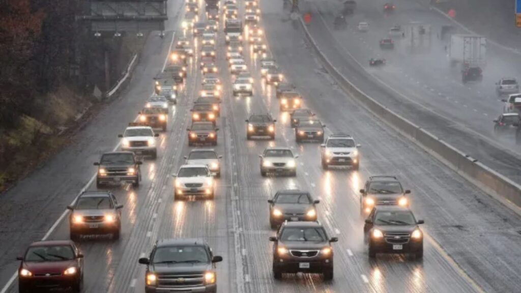
Before the snow chances arrive, the first major travel concern is the strong wind event expected on Tuesday. A Wind Advisory has been issued for the Omaha metro, while High Wind Warnings cover parts of central and western Nebraska.
Forecasters say residents in the metro should prepare for northwest wind gusts between 40 and 55 mph by Tuesday afternoon and evening. In the warning zone, gusts could peak as high as 60 mph, making driving difficult — especially for larger vehicles like RVs, semis, and trailers often used during holiday travel.
Temperatures will start near 50 degrees early in the day before slipping into the 40s by afternoon as the winds strengthen.
Quiet Mid-Week Weather Before the Pattern Shifts
Despite the winds, Wednesday and Thanksgiving Day themselves look fairly calm and seasonable.
- Wednesday: Mostly sunny and breezy with a high near 38°
- Thanksgiving Day: Partly cloudy, high around 39°
These pleasant conditions should make both local and regional travel easy for those heading to family gatherings.
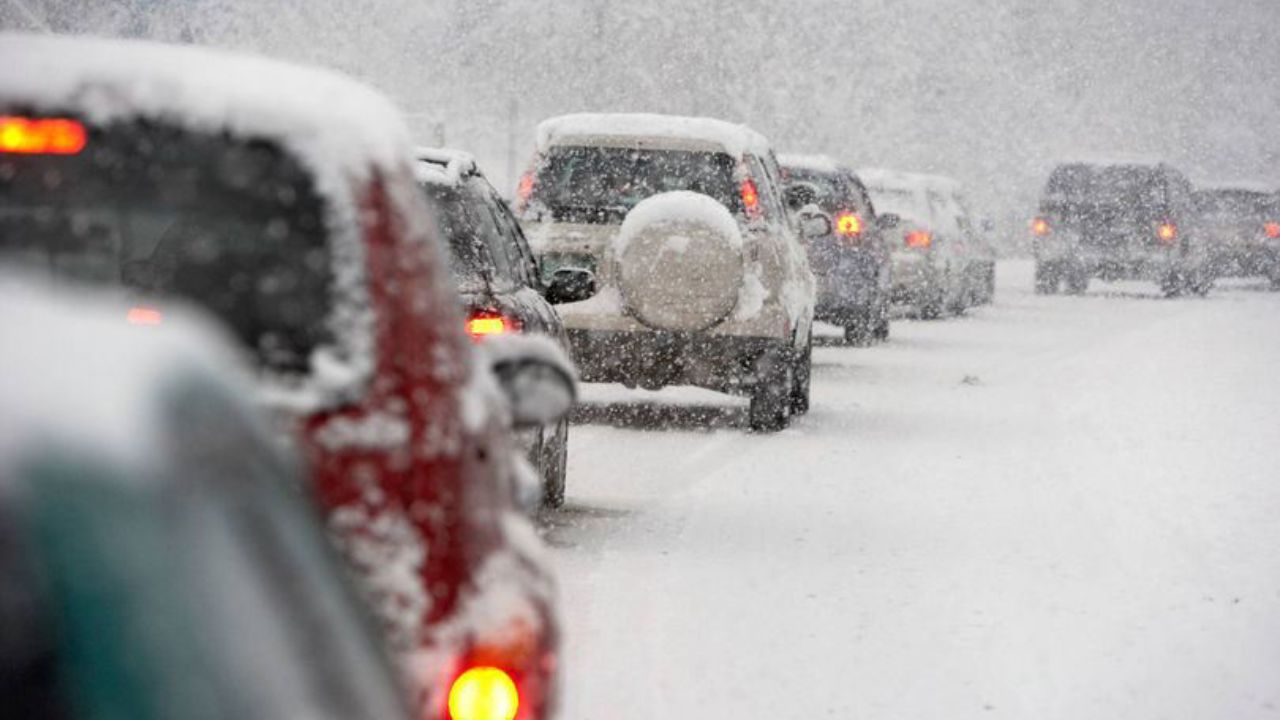
Black Friday Brings Higher Chances for Snow
The break in the weather doesn’t last long. As of Tuesday morning, forecast models continue to strengthen the likelihood of snow developing Friday afternoon, potentially extending into Saturday morning.
Forecasters estimate a 60% chance of snow developing late Friday, with temperatures barely reaching 33° during the day.
The greatest risk of accumulating snow appears to be in far eastern Nebraska and southwest Iowa, where colder air could support steadier snowfall and more significant travel concerns.
Weekend Storm Could Disrupt Post-Holiday Plans
The system driving Friday’s snow is expected to linger through early Saturday, adding to the potential for travel headaches across the region.
- Saturday: Mostly cloudy, 50% chance of snow, breezy, high near 32°
Current projections show that the first half of Saturday—particularly in Iowa—could see the most snow and the highest chance of travel disruptions. Roads may turn slick, visibility could drop at times, and early-morning travel may be slowed by leftover accumulation.
By Sunday, colder air pours in behind the system.
- Sunday: Mostly cloudy, 30% chance of snow, breezy, high only 25°
Even though snowfall chances decrease by Sunday, temperatures staying well below freezing may keep some roads icy, especially in shaded or untreated areas.
Travelers Encouraged to Plan Ahead
With millions of people traveling for Thanksgiving across the Midwest, forecasters encourage drivers to monitor updated forecasts, especially if traveling between Friday afternoon and Saturday morning.
While Wednesday and Thanksgiving Day look ideal, the back end of the holiday weekend could become messy for anyone returning home or hitting stores for Black Friday deals.
Are you traveling this week or adjusting plans because of the wind or snow chances? Share your thoughts, travel updates, and local conditions in the comments below to help others stay informed!


