Minneapolis, MN — Minnesota is being hit by its first major winter storm of the season, and conditions are quickly worsening as the system spreads intense snowfall, fierce winds, and widespread travel hazards across the state.
A Rapid Shift From Rain and Fog to Heavy Snow
For much of southern and central Minnesota, the day began with steady rain and dense fog, limiting visibility and keeping roads slick even before temperatures began to fall. Meteorologists warned that as the atmosphere cooled through Tuesday evening, this rain would rapidly change to snow, creating an abrupt transition that could catch many commuters off guard.
By late afternoon, the expected transition was already underway in northern regions, where consistent snow showers had been falling since early Tuesday. These early bursts of wintry weather led to slushy buildups on grassy surfaces and the first indications of snow-coated roads, foreshadowing what the rest of the state could expect overnight.
Twin Cities Bracing for Moderate to Heavy Snowfall
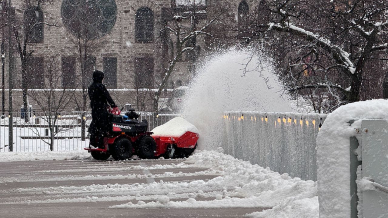
Residents across the Twin Cities have been advised to prepare for deteriorating conditions between 7 p.m. and 10 p.m., when forecasters expect snow intensity to significantly increase. The metro will likely wake up Wednesday to several inches of snow, with totals varying depending on location.
- Areas in the north metro are projected to receive 4 to 6 inches
- Neighborhoods in the south metro may see somewhat lighter accumulations
Despite these variations, all parts of the Twin Cities should anticipate challenging travel conditions, especially during Wednesday’s morning commute, as per the reports.
Heaviest Snow Band Targets Northern Minnesota
The most powerful segment of the storm continues to track across northwest and northeast Minnesota. Weather models show the heaviest snow band stretching from Fergus Falls through Brainerd, sweeping into Duluth, and extending across the Arrowhead region.
These areas are positioned to receive the highest snowfall totals, with meteorologists monitoring conditions closely for the potential of double-digit accumulations in localized pockets. The combination of heavy, wet snow and persistent winds could also increase the risk of downed tree limbs and power outages in some parts of northern Minnesota.
Blizzard Conditions Threaten Travel Across Western and Southern Minnesota
While the Twin Cities and northern regions grapple with snowfall, western and southern Minnesota are experiencing the most dangerous impacts of this storm: blizzard conditions.
Winds in these areas are expected to gust over 50 mph, powerful enough to cause:
- Blowing and drifting snow
- Near-zero visibility on rural roads
- Hazardous conditions for both short and long-distance travel
- Potential whiteout situations, especially overnight
Officials are urging drivers to avoid unnecessary travel in the hardest-hit zones, noting that even plowed roads may become unsafe due to rapid drifting and reduced visibility.
A Strong Start to the Winter Season
This system marks a dramatic kickoff to winter in Minnesota, delivering everything from rain and fog to heavy snow, strong winds, and widespread travel disruptions. With more winter weather systems likely to develop in the coming weeks, forecasters encourage residents to stay updated on warnings, keep emergency kits in their vehicles, and prepare for quickly changing conditions.
How is the first winter storm of the season affecting your area? Share your experiences, photos, or updates in the comments below — your community wants to hear from you!


