Philadelphia, PA — As the First Alert Weather Team releases its highly anticipated 2025–2026 winter forecast, residents across the Philadelphia region are preparing for a season marked by shifting temperatures, dynamic storm patterns, and the influence of major climate systems.
While winter officially arrives on Sunday, December 21, 2025, and lasts through Friday, March 20, 2026, forecasters say the season will feature a blend of mild conditions and elevated snow potential.
Expected Winter Conditions in the Philadelphia Region
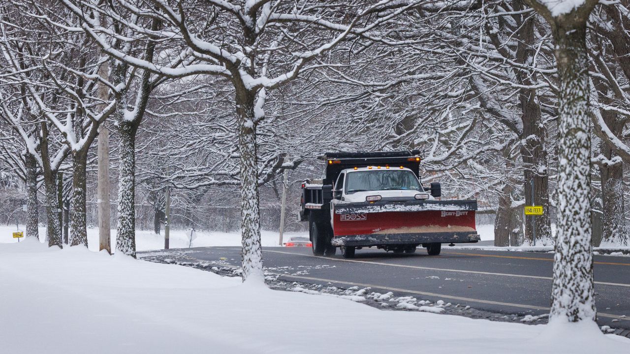
Meteorologists predict that the region will experience slightly higher-than-average snowfall, especially during the heart of the season. Early winter — spanning December and early January — is expected to bring milder temperatures, making for a slower start to winter weather compared to historical patterns.
However, as the calendar flips to February and March, temperatures are projected to fall back to near-normal levels, with snowfall amounts aligning more closely with long-term regional averages. This transition signals a more traditional late-winter setup for the Delaware Valley.
Climate Prediction Center’s Winter Outlook
According to the National Weather Service’s Climate Prediction Center (CPC), the Philadelphia metro area should see slightly above-average temperatures overall. Much of the northwestern United States will hold the coldest air, while the southwestern U.S. trends warmer than usual.
When it comes to precipitation, the CPC anticipates a normal range of rain and snowfall for Philadelphia and its surrounding suburbs. This means that while temperatures may skew warmer at times, the region will still see its fair share of wintry events.
Understanding La Niña and Its Influence

La Niña occurs when strong Pacific winds push warm surface water westward toward Indonesia, allowing colder deep water to upwell near South America. This shift affects global atmospheric circulation and can dramatically influence winter weather patterns across North America.
How Will La Niña Affect Philly This Winter?
Forecasters expect a weak La Niña to persist through much of the 2025–2026 winter. In the Philadelphia region, a weak La Niña typically correlates with slightly above-average snowfall, thanks to increased storm opportunities and enhanced moisture patterns.
The Role of the North Atlantic Oscillation (NAO)
The North Atlantic Oscillation (NAO) measures fluctuations in atmospheric pressure between Iceland and the Azores.
- A positive NAO (above zero) leads to milder, less stormy conditions.
- A negative NAO (below zero) often results in colder, stormier patterns across the eastern U.S.
NAO Projections for Winter 2025–2026
The NAO suggests a stormier setup at the end of November, followed by milder conditions during the first week of December. This is expected to shift again by mid-December, with the NAO signaling a return to a stormier track leading into Christmas.
Meteorologists note that this mid-December window may bring some of the region’s more significant storms, along with the arrival of colder air. After the Christmas holiday, the NAO swings back toward milder conditions as the region moves into the early days of 2026.
What This Means for Residents
Overall, Philadelphia residents should prepare for:
- A slow start to winter
- Above-average snow potential due to La Niña
- Active storm patterns in mid-December
- More typical winter weather in February and March
With fluctuating temperatures and the likelihood of impactful storms, winter weather preparedness will be essential across the region.
How do you feel about the potential for above-average snow and a stormier December in the Philadelphia region? Do you think the forecasts match what we’ve seen in recent winters?
Share your thoughts, predictions, and winter concerns in the comments below — we want to hear from you!


