Grand Rapids, MI – A strong winter storm is expected to sweep across Michigan just as Thanksgiving travel peaks, bringing snow, strong winds, and hazardous driving conditions. Forecasters are warning residents and travelers to prepare for significant weather impacts from Wednesday, November 27, through Friday, November 29.
Early Week Conditions
The week begins with mild temperatures and partly sunny skies. Monday, November 25, will see highs in the lower 50s across southern Michigan and upper 40s to low 50s in northern areas. Rain is expected to develop Monday night into Tuesday, with daytime temperatures on Tuesday again reaching the 50s before a dramatic shift to colder, wintry conditions.
Transition to Winter Weather
A strong cold front is forecast to arrive Wednesday morning, transitioning rain to snow across the state. West to northwest winds will increase to wind advisory levels by early Wednesday afternoon, with gusts potentially exceeding 40 mph, and some coastal areas experiencing gusts over 50 mph.
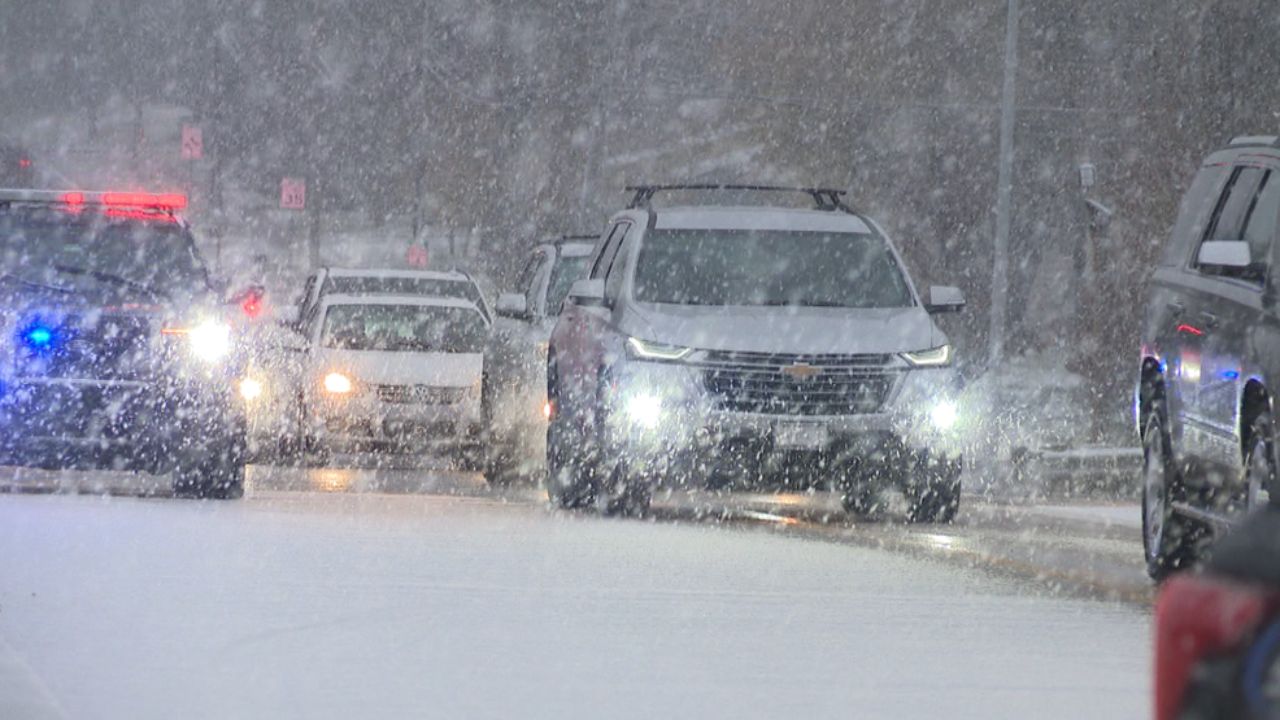
The combination of wet, heavy snow and strong winds could lead to power outages, reduced visibility, and dangerous travel conditions.
Snowfall and Lake-Effect Impacts
Parts of Northern Michigan are expected to see accumulating snow, particularly in a swath from Cadillac north to Gaylord, extending into Petoskey and the Tip of the Mitt area. Lake-effect snow will also impact the southern Lower Peninsula, with the heaviest snowfall along and west of U.S. 131.
The National Weather Service (NWS) predicts up to a 70% chance of 6 inches or more of snow across the western Upper Peninsula by Thanksgiving Day. Heavy snowfall rates of 1–2 inches per hour are possible under organized snow bands. Combined with wind gusts of 30–45 mph, this could create blowing and drifting snow and extremely hazardous road conditions.
Lake-effect snow is expected to continue through Thanksgiving Day, particularly in traditional snow belts along the Lake Michigan shoreline and downwind of Lake Superior.
Wave heights on Lake Superior may reach 8–12 feet, with areas near the Keweenaw Peninsula and between Marquette and Grand Marais potentially seeing 16-foot waves. Gale warnings with winds up to 45 knots are in effect for Wednesday and Thursday.
Travel Implications
The combination of blustery winds, heavy snow, and icy roads could significantly disrupt holiday travel, particularly on north-south oriented roads where blowing snow may reduce visibility and create drifting hazards. Highways, secondary roads, and coastal areas are at the highest risk for dangerous driving conditions.
On Thanksgiving Day, November 28, temperatures will remain cold, with highs in the mid-30s and wind chills in the teens and 20s, making outdoor activities and travel challenging. Lake-effect snow showers may continue into Friday, adding additional snowfall and potential delays for travelers returning from the holiday.
Will you be traveling across Michigan this Thanksgiving? How are you preparing for snow, high winds, and icy conditions? Share your tips and travel experiences in the comments below!


