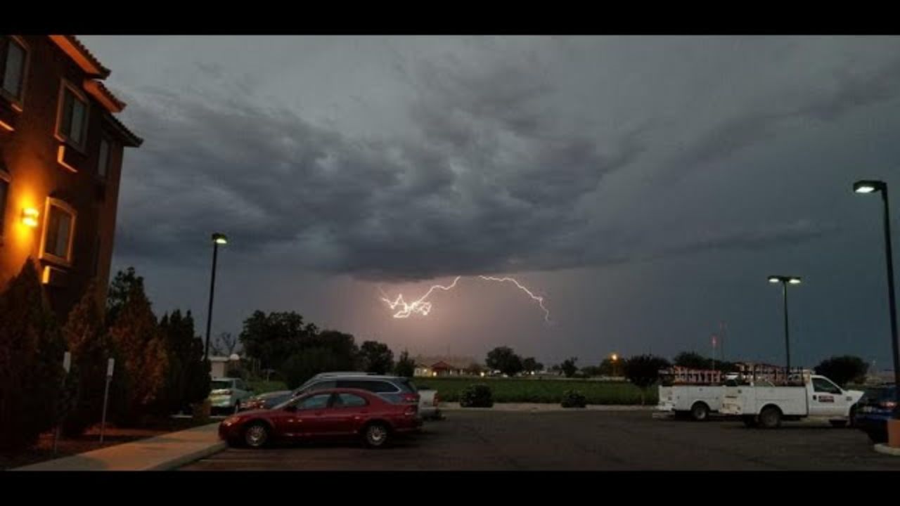
Phoenix, AZ — A powerful, slow-moving low-pressure system is sweeping into Arizona this week, bringing widespread showers, thunderstorms, and renewed warnings about flash flooding across the Valley. After parts of the West Valley recorded more than an inch of rain on Tuesday, forecasters say residents should brace for additional rounds of steady rainfall through Wednesday night.
Heavier Rainfall Continues as California System Moves In
A deep low-pressure system drifting in from California is expected to anchor over the region long enough to keep strong rain chances in place. Meteorologists noted that while severe weather is not widely anticipated, the atmosphere remains unstable enough to produce isolated strong cells.
Early Tuesday afternoon, a Severe Thunderstorm Warning was briefly issued for Avondale, underscoring the system’s potential to generate intense but short-lived downpours.
Forecasters expect moderate rainfall to persist for much of the night — with occasional bursts of heavier rain possible. Because the soil is already saturated, even moderate precipitation could lead to rapid runoff and water pooling.
Flash Flood Concerns as Saturated Ground Limits Absorption
Authorities emphasized that flash flooding is now a real concern, particularly in flood-prone areas and vulnerable washes. With rainfall continuing at a steady pace, the risk rises significantly.
Safety officials are once again reminding drivers of one of Arizona’s most important monsoon-season rules:
Never drive into a running wash.
Even a few inches of fast-moving water can sweep vehicles away, and rescues put first responders at significant risk. With so many low-lying roadways prone to sudden flooding, residents are urged to seek alternate routes when storms intensify.
More Showers and Storms Expected Wednesday
The system isn’t done with the region just yet. Tomorrow, forecasters predict scattered showers and thunderstorms, especially between late morning and early afternoon, when daytime heating may help storms redevelop.
By Wednesday night, rain chances gradually diminish, although a few lingering showers could hold on through early Thursday morning.
Brief Dry Break Friday, Rain Chances Return for the Weekend
While most of the state gets a break from rain on Friday, the weekend won’t stay entirely dry.
Saturday brings back slight chances for scattered showers, though nothing as widespread as earlier in the week.
Temperatures throughout this period remain relatively mild, thanks to thick cloud cover and cooler air drawn in by the storm system.
Residents Encouraged to Stay Weather-Aware
With multiple rounds of rain expected and saturated surfaces across the Valley, officials encourage residents to monitor:
- Road closures
- Weather alerts
- Flash flood advisories
- Wash and low-water crossing conditions
Even areas that haven’t flooded recently may become hazardous if heavy rain returns.
Have you seen flooding in your area tonight? Drop your thoughts, experiences, or storm photos in the comments below — your insight helps keep your community informed.


