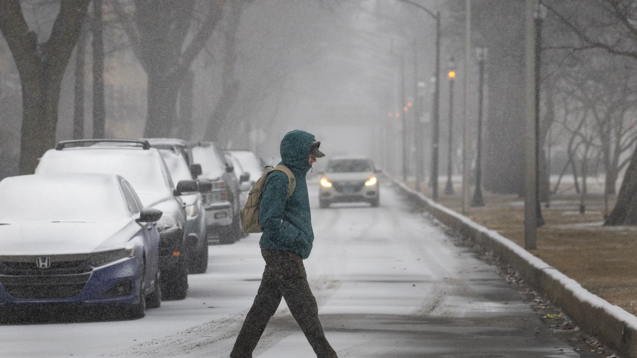
CHARLOTTE, N.C. — Residents across North and South Carolina are bracing for another round of frigid temperatures and wintry weather as multiple advisories and warnings remain in effect through Tuesday morning. The region is experiencing its coldest air of the season, with snow, strong winds, and freezing lows creating hazardous conditions in some areas.
Bitter Cold Grips the Carolinas
The National Weather Service reports that cold air from the north will continue to dominate through Tuesday, keeping temperatures well below seasonal averages.
Overnight lows are expected to plummet into the teens and 20s, while daytime highs will only rebound into the 40s to near 50°F. Despite modest warming during the day, breezy winds up to 30 mph will make it feel much colder than the actual air temperature.
Winter Storm Warning for the Mountains
A Winter Storm Warning remains in effect for Swain County until 7 a.m. Tuesday, where heavy mixed snow is expected above 3,500 feet.
- Snow Accumulation: Up to 2 inches in valleys, 4 to 10 inches above 3,500 feet, and over a foot possible above 5,000 feet in the Great Smoky Mountains.
- Wind Gusts: Could reach 45 mph, creating blowing snow and limited visibility for travelers.
Officials are warning mountain residents to avoid unnecessary travel overnight as conditions deteriorate at higher elevations.
Winter Weather Advisory for Western Counties
A Winter Weather Advisory is also in effect until 7 a.m. Tuesday for Avery, Graham, Haywood, Madison, Mitchell, and Yancey Counties above 3,500 feet.
- Snow Accumulation: Up to 3 inches in valleys, 2 to 6 inches above 3,500 feet, and up to 10 inches possible on the highest peaks near the Tennessee border.
- Wind Gusts: Reaching 45 mph, making roads slippery and reducing visibility.
These conditions could make mountain travel treacherous, especially along U.S. 19 and Interstate 26 corridors.
Freeze Warning for the Upstate and Piedmont
Meanwhile, a Freeze Warning is in effect from Monday evening through Tuesday morning across a wide stretch of Upstate South Carolina and parts of western North Carolina and northeast Georgia.
Counties under the warning include Abbeville, Anderson, Greenville, Spartanburg, York, Oconee, Pickens, Greenwood, Cherokee, and Laurens, among others.
Temperatures are expected to fall into the low 20s, prompting concerns about frozen pipes, frostbite risks, and damage to outdoor plants.
Safety First: Remember the Four P’s
Authorities are urging residents to remember the “4 P’s” to stay safe during the cold snap:
- Pipes – Protect plumbing from freezing temperatures.
- Pets – Bring them indoors to stay warm.
- People – Check on elderly or vulnerable neighbors.
- Plants – Cover outdoor vegetation or move them inside.
Looking Ahead
The frigid conditions are expected to linger through midweek, though temperatures should slowly rebound by Thursday. Forecasters predict drier and slightly milder air moving in, but the Carolinas will remain below normal for this time of year.
Are you ready for the Carolinas’ first major freeze of the season? Share your tips for staying warm and protecting your home from the cold in the comments below — and tell us how the winter weather is affecting your community.


