Seattle, WA — Residents of Washington State should brace for another round of stormy weather on Thursday, following a wet and windy Wednesday.
Meteorologists warn that rain, hail, lightning, and gusty winds will affect the region over the next 24 hours, creating dangerous driving conditions due to standing water and potential hydroplaning.
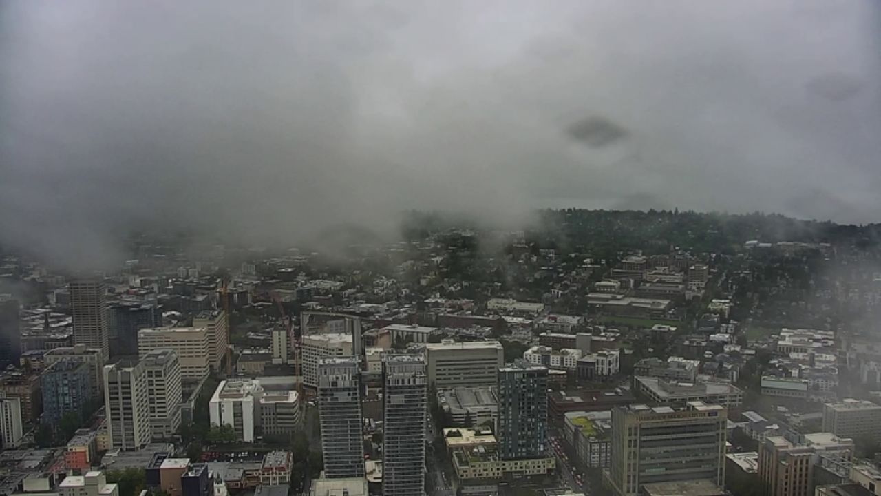
Areas across Puget Sound, including major routes like Aurora Avenue and I-5 through downtown Seattle, have already reported standing water and slick roadways. Drivers are urged to exercise caution during commutes and allow extra time to reach their destinations safely.
Lingering Storms and Localized Hail
Overnight showers will persist, with intermittent dry breaks, but some areas may still experience heavy downpours, hail, and lightning. Radar reports on Wednesday evening detected a rotating cell near the south Washington coast, prompting a brief tornado warning for Long Beach. Officials confirmed that a funnel briefly formed but did not touch the ground or cause any damage.
Afternoon Storms Expected Thursday
While Thursday morning may bring slightly calmer conditions with scattered showers, the afternoon commute could be more challenging. A strong trough of low pressure is expected to move through the region, bringing heavy rain, hail, lightning, and gusty winds from the Washington beaches to the I-5 corridor. Drivers should prepare for slower traffic and hazardous road conditions during the evening commute.
Coastal and Marine Hazards
The storm will also create Gale Warnings for the north Sound, Strait, and coastal waters, making it unsafe for small boats and fishing activities. Additionally, King Tides, combined with high storm swells, may lead to coastal flooding and beach erosion.
A Coastal Flood Advisory has been issued for the Pacific beaches and along the strait of Juan de Fuca. Residents and visitors should remain vigilant and avoid flooded areas, as per KOMO.
Weather Outlook for Friday and the Weekend
By Friday, conditions are expected to improve, giving residents a welcome respite from the rain and wind. Partly sunny skies and crisp autumn weather are forecasted for the weekend, although early morning fog, particularly in the south Sound, may still affect visibility.
Officials encourage the public to stay updated on weather alerts and to exercise caution both on the roads and near coastal areas until the storm fully passes.
How is this storm affecting your commute or weekend plans in Washington State? Are you preparing for potential flooding or hazardous driving conditions? Share your experiences and tips in the comments below!


