WAKEFIELD, Va. – A tropical storm watch is now in effect for the Atlantic coastal waters south of Cape Charles as Hurricane Erin moves offshore, bringing the risk of strong winds, flooding, and dangerous surf from Wednesday night into Thursday.
Storm Details and Wind Forecast
According to the National Weather Service in Wakefield, north to northeast winds could gust up to 40 mph along the coast.
As per NWS, tropical storm-force conditions are possible over the ocean waters. Inland areas such as Richmond, Petersburg, and Franklin may still experience gusts ranging from 20 to 30 mph on Thursday.
Flooding and Erosion Concerns
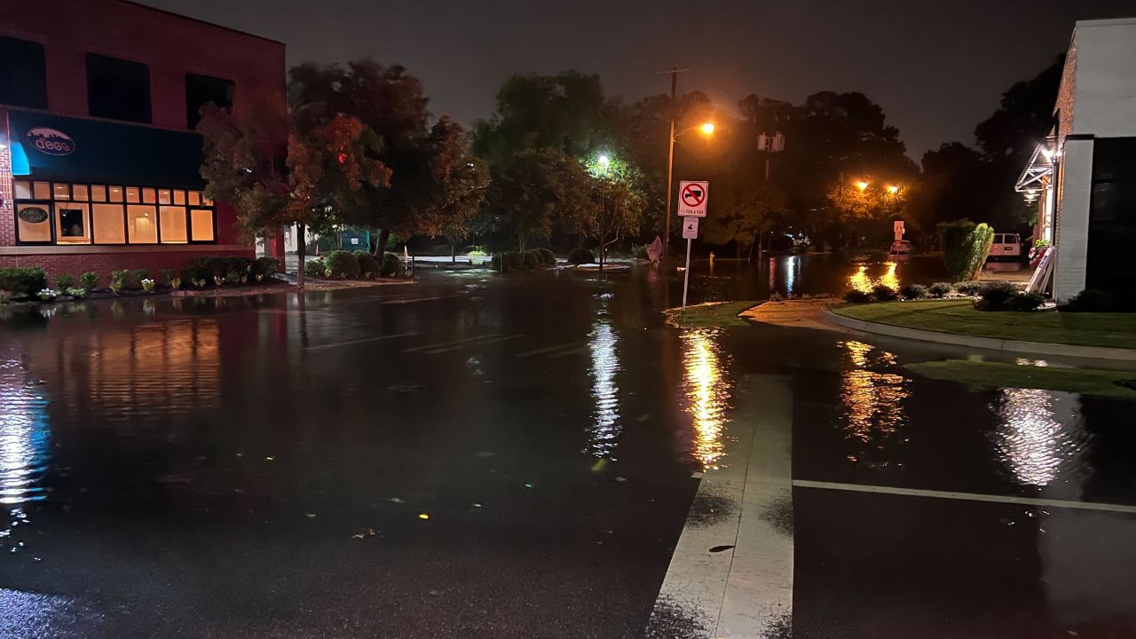
The most significant concern with the storm is flooding. Widespread minor to moderate tidal flooding is expected from Wednesday night into Thursday night, with localized major flooding possible in areas like Virginia Beach and Currituck County during high tide. Water levels could rise 1 to 3 feet above ground in vulnerable areas, and significant beach and dune erosion is predicted along the Atlantic shoreline.
Rip Currents and Sea Conditions
The rip current risk remains high, with seas of 10 to 15 feet likely by Thursday morning. Authorities are urging residents and visitors to avoid entering the water, secure property near the coast, and prepare for potential travel disruptions.
Impacts and Ongoing Warnings
Although the storm’s center is moving offshore, its impacts will extend well beyond the storm’s path. Additional advisories may be issued if Hurricane Erin shifts closer to the shore, and the situation is being closely monitored by officials.
How to Stay Safe
Residents in affected areas are urged to stay informed about the latest updates and prepare for potential disruptions. Secure outdoor objects, monitor local warnings, and avoid unnecessary travel during the storm.
If you have any tips for storm preparedness or experiences to share, feel free to leave a comment below. Staying informed and ready is key to weathering this storm safely.


