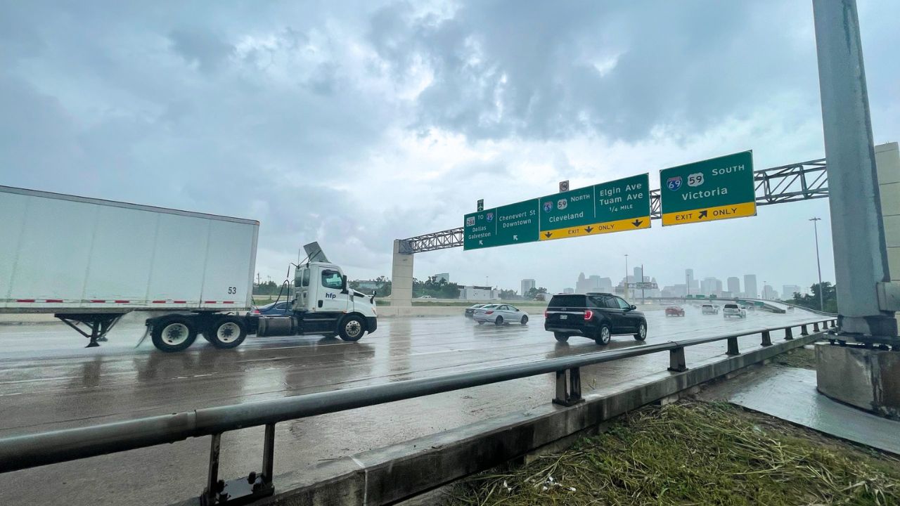
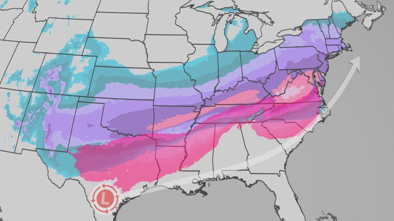
Houston, TX – A low flood threat has been issued for Friday, with rain expected to dump around 2 inches across Harris County. Some thunderstorms could intensify the rainfall, leading to localized flooding.
Saturday’s Forecast:
On Saturday, another round of tropical downpours could affect the Texans game at NRG Stadium. Tailgating may be stormy at times, so fans are encouraged to bring rain gear for the game. The heaviest rain is expected to pass through Houston during the afternoon and evening hours, so fans may experience wet conditions throughout the day.
Tracking Tropical Storm Erin
The National Hurricane Center is closely monitoring Erin, which has now strengthened into a Category 1 hurricane, marking the first hurricane of the 2025 season. Erin is forecast to push westward, and it is expected to intensify into a Category 4 hurricane by the end of the weekend as reported by Click2Houston.
It’s important to note that the cone of uncertainty represents the area where the center of the storm is most likely to travel. However, dangerous winds, rain, and storm surge can extend well outside this cone. As Erin strengthens, coastal areas and regions in the storm’s path should remain vigilant.
Extended Forecast
Next week, rain chances will drop to 30-40%, bringing the forecast closer to seasonal norms. Despite the reduced rain risk, brief downpours may still occur, and feels-like temperatures are expected to reach the triple digits. Residents should stay hydrated and be cautious in the heat.
How are you preparing for the upcoming storms in Houston? Share your tips and experiences below.


